Weymouth Woods Sandhills Nature Preserve
Renovations at Catawba Falls allow public access to the beautiful upper falls.
Carolina Outdoors Guide – Parks & Forests – Camping – Hiking – Adventures


The federal Wild and Scenic Rivers Act declares that selected rivers that have remarkable scenic, recreational, geologic, fish and wildlife, historic, cultural or similar values shall be preserved as free-flowing and protected for the benefit and enjoyment of present and future generations.
Read below about the five National Wild and Scenic Rivers in North Carolina.
Check at the links provided below to make sure developed sites are open after destructive storms.
Updated June 2025.
Chatooga River
Nantahala National Forest
Nantahala Ranger District
90 Sloan Road
Franklin, NC 28734
(828) 524-6441
sm.fs.nantahalard@usda.gov
Locator Map (Cashiers Lake)
A tiny stretch of the river south of Cashiers Lake lies in North Carolina, though most of it is in South Carolina and Georgia, where it empties into the Tugaloo Reservoir. The Chattooga is recognized for some of the Southeast’s best whitewater and offers outstanding scenery ranging from thundering falls and twisting rock-choked channels to narrow, cliff-enclosed deep pools. Dense forests and undeveloped shorelines characterize the primitive nature of the river corridor. The 57-mile river corridor is available for nationally recognized white-water rafting, swimming, hiking, horseback riding with spectacular scenery and excellent trout fishing.
Horsepasture River
Nantahala National Forest
Nantahala Ranger District
90 Sloan Road
Franklin, NC 28734
(828) 524-6441
sm.fs.nantahalard@usda.gov
Locator Map (Sapphire, NC)
At 4.2 miles from N.C. 281 (Bohaynee Road; off U.S. 64) in southwest Transylvania County to Lake Jocassee, the designated segment of the Horsepasture is one of the shortest rivers in the system. It is an exceptional example of an escarpment river with five major waterfalls within two miles – Drift Falls, Second Falls (or Turtleback Falls for its turtleshell-like rock formation), Rainbow Falls, Stairstep Falls and Windy Falls – numerous cascades, rapids, boulders and rock outcroppings. Drift and Turtleback falls occur near the trail access point on Bohaynee Road at Gorges State Park; the main trail and spurs provide opportunities to view the other falls. In addition to viewing the waterfalls and surrounding scenery, the area is open to swimming, fishing and primitive camping. Rich Stevenson’s N.C. Waterfalls site has a nice page about the Horsepasture River.
New River, South Fork
New River State Park
1477 Wagoner Access Road
Jefferson, NC 28640
(336) 982-2587
Locator Map
The designated scenic segment of the New River, 26.5 miles long, includes 22 miles of the South Fork downstream to its confluence with the North Fork and 4.5 miles of the main stem of the river north to the Virginia line. The ancient, northward-flowing New passes through valleys and bottom lands, including many stretches through remote countryside not easily accessible by road or trail. New River State Park provides access and spots for camping, canoeing, picnicking and fishing.
Lumber River
Lumber River State Park
2819 Princess Ann Road
Orrum, NC 28369
(910) 628-9844
Locator Map
Eighty-one miles of the Lumber River are national wild and scenic waters, making it the only North Carolina black-water river to earn the designation. The 22-mile scenic portion from S.R. 1412/1203 to the Scotland/Robeson county lines at the end of the Maxton Airport Swamp where the land around the river is undeveloped includes the most scenic section, offering the chance to experience the outdoors at its most natural state. The 59-mile area from Jacob Branch to the North/South Carolina border is remote but generally accessible by trails. In addition to canoeing and sightseeing opportunities, the Lumber River corridor is available for fishing, hunting and hiking, and Lumber River State Park offers primitive camping, including paddle-in sites at the Princess Ann Access.
Wilson Creek
Pisgah National Forest
Grandfather Ranger District
109 E. Lawing Drive
Nebo, NC 28761
(828) 652-2144
sm.fs.gfr@usda.gov
Locator Map (Visitors Center)
Wilson Creek rises below Calloway Peak near Grandfather Mountain in Avery County and flows southeast through Caldwell County before feeding the Johns River at the Burke County line. Its 23.3-mile stretch includes 4.6 miles designated as wild, 2.9 miles named scenic and 15.8 miles designated recreational. It is popular with kayakers and canoeists, anglers, swimmers and sunbathers who take to the creek’s massive boulders, as well as for hiking, biking and camping (the Pisgah Forest’s Mortimer Campground is nearby). The 15.4-mile section from below Mortimer Campground to Johns River is a canoe/kayak run with a range of Class I-V rapids. The most difficult section with Class III-V rapids occurs in the gorge. Burke County operates a visitor center in Collettsville.
Carolina Music Festivals, a calendar and guide to music festivals in North Carolina.
More results...
 Weymouth Woods Sandhills Nature Preserve
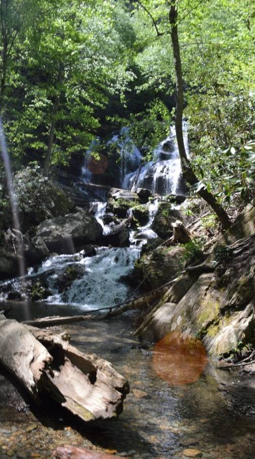
 Catawba Falls, Pisgah National Forest
 Raven Rock State Park, Lillington, North Carolina
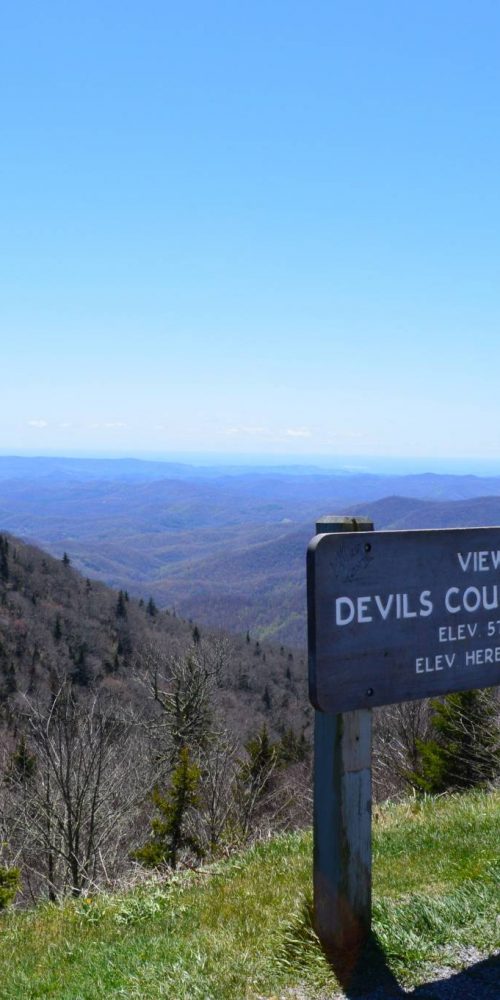 Devil’s Courthouse, Blue Ridge Parkway
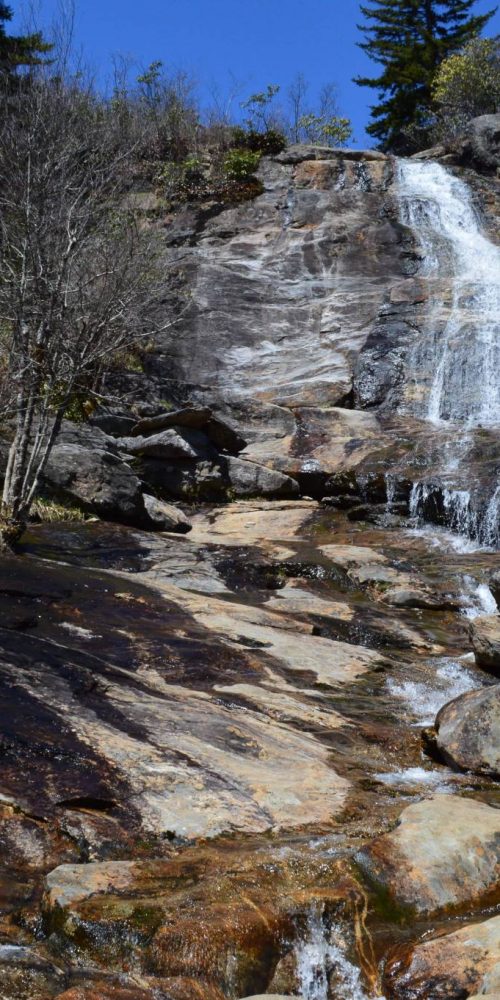 Graveyard Fields & Upper Falls, Blue Ridge Parkway
 Gorges State Park to Offer Family Campground and Cabins
 Catawba Falls Trail Closes for Work Toward Expanded Access
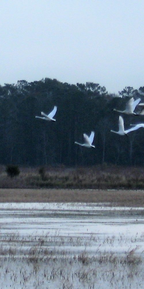 Mattamuskeet National Wildlife Refuge