Catawba Falls – Home – Parks & Forests – Camping – Hiking – Links – Adventures
Catawba Falls, Pisgah National Forest
Upgrades to the trails at Catawba Falls completed in Spring of 2024 have allowed public access to the beautiful upper falls of the two waterfalls near Old Fort and made it easier to reach the base of the lower falls.
Today, the 1.4-mile River Trail ends with stairs and a boardwalk that allow access to the base of the 205-foot cascading lower falls. A series of staircases up the mountainside and a short trail through the woods complete the journey to the base of the 80-foot upper falls. The first leg of the trail is easy-to-moderate with some elevation gain and requirement to cross a small creek on rocks. The Forest Service says hiking the last bit of the trail to the upper falls is equivalent to climbing a 30-story building, but the payoff is well worth it.
Here is Upper Catawba Falls when we visited in July 2024:
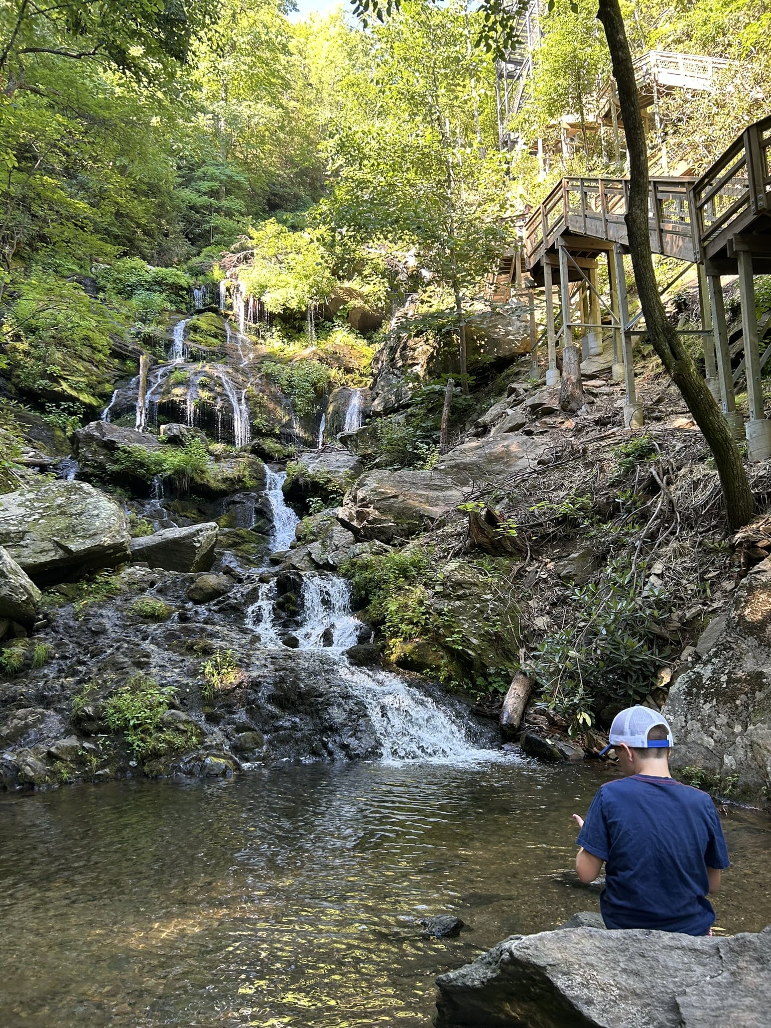
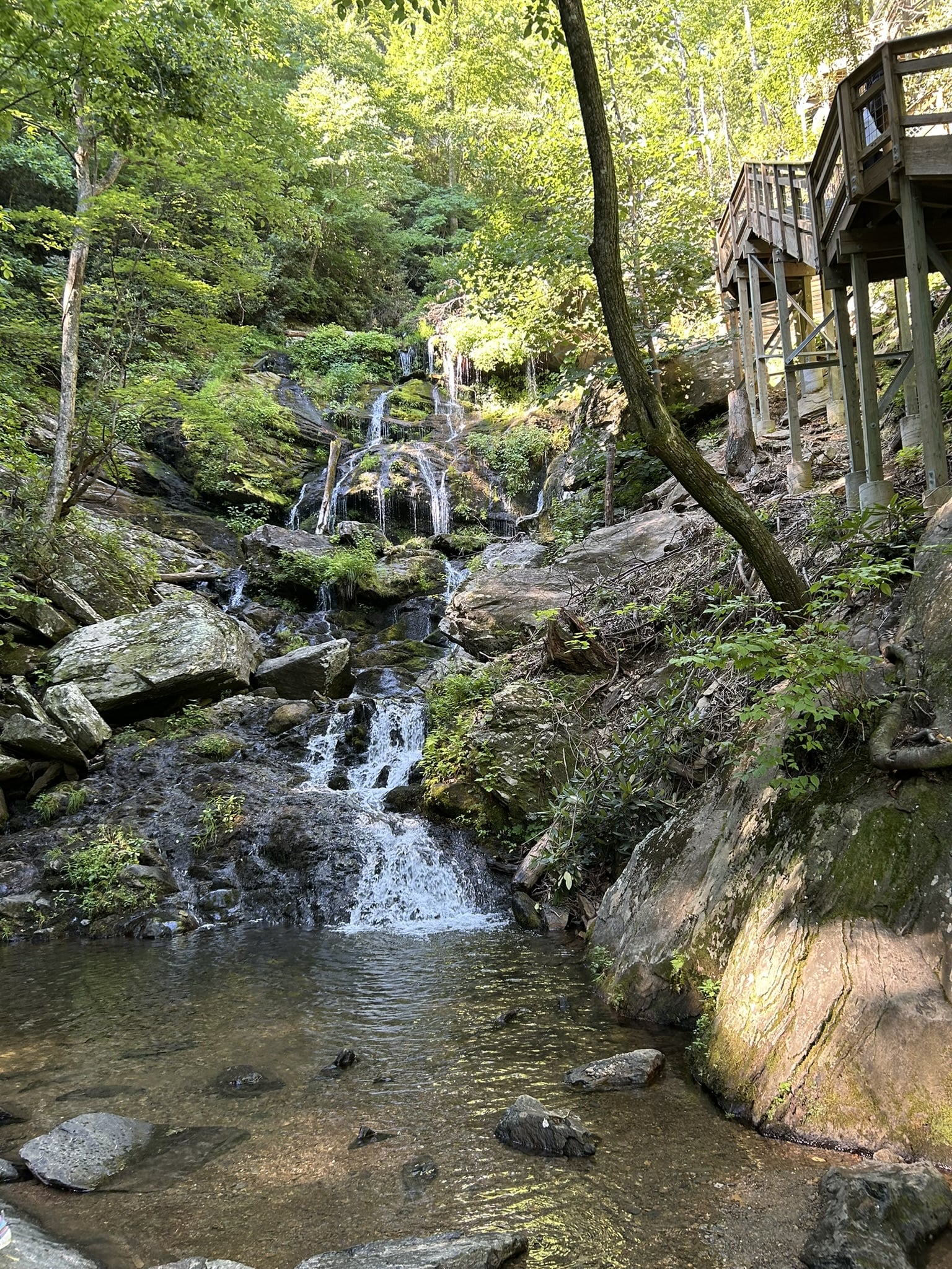
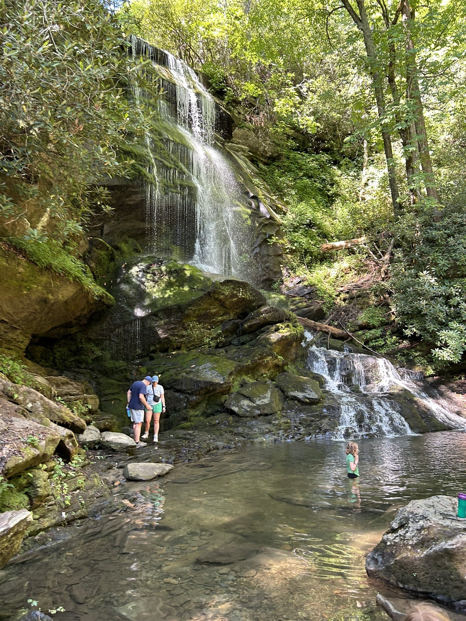
Here’s the base of the Lower Catawba Falls. Notice the staircase and tower on the trail to the upper falls at right.
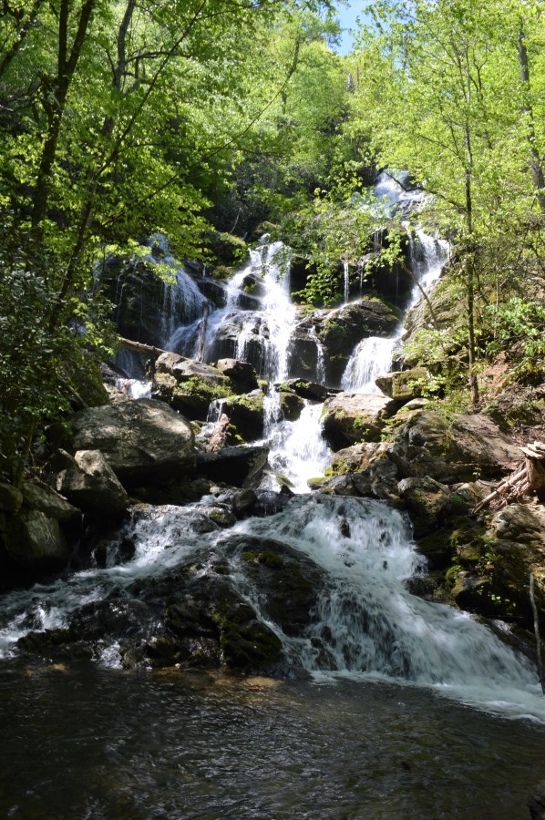
The state was in a drought in July 2024. Below, a photo from our 2018 visit to the Lower Falls shows a fuller and prettier waterfall.
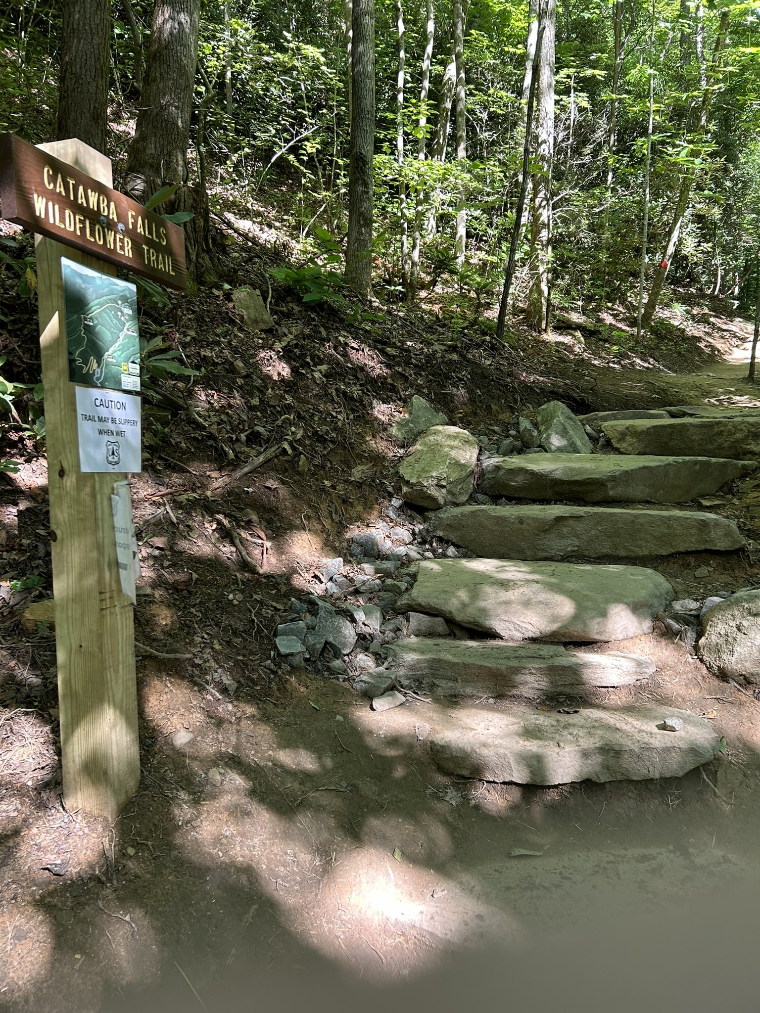
The trail to Catawba Falls is mostly flat and easy, though there is some elevation gain. When it’s wet, there can be several spots where rain that is falling down the mountainside washes over the trail, leaving sometimes-wide rivulets of water and mud to deal with. The Forest Service regularly repairs washed out portions of the trail, and in ’24, we were diverted onto the quarter-mile Wildflower Trail to avoid a washed-out area under repair.
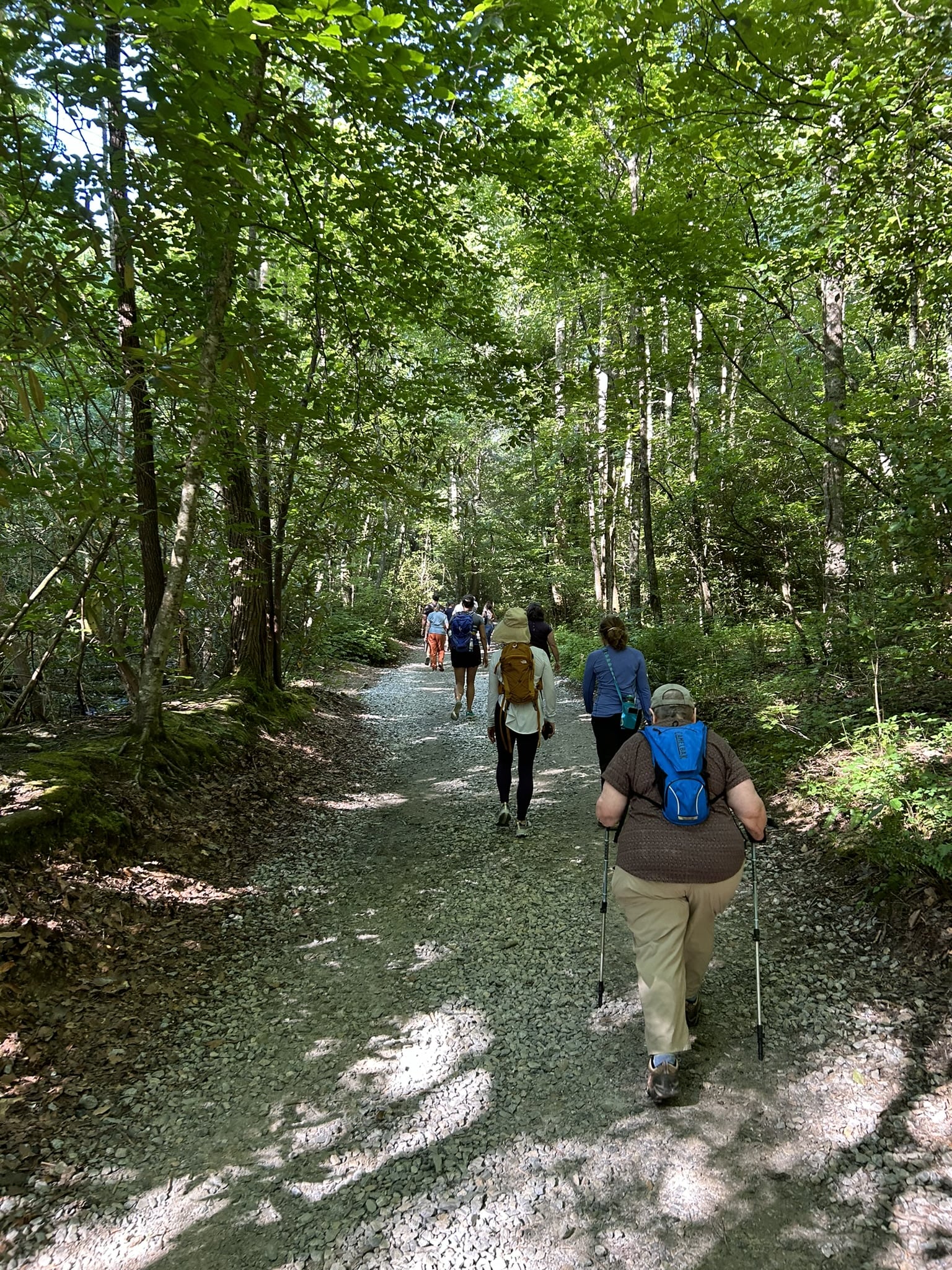
Catawba Falls has been a popular site well-known to locals and hikers for many years, though the Forest Service only acquired it from the Foothills Land Conservancy in 2006 and first opened it to the public in 2016. Our July 2024 visit began about 9 a.m. on a Friday, and the site was crowded from the start.
Initial development of the trail to the lower falls was completed in December 2016 and included constructing two bridges across the river, as well as installing a parking lot and vault toilets at the trailhead. The first bridge is at the ruins of a dam and hydroelectric power plant, which closed in the mid-1900s.


Here’s Pam at the old dam in 2014 and a look at the waters below …


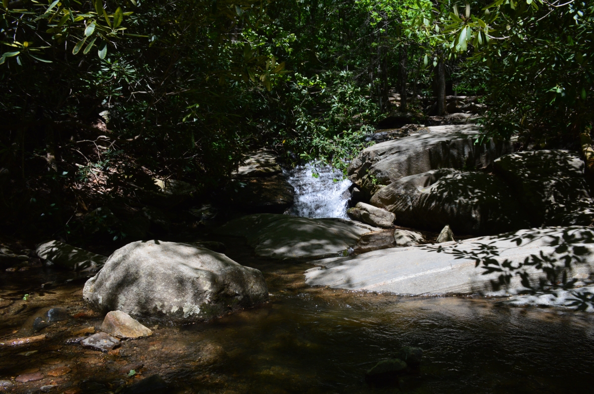
This trailside cascade is at the creek crossing …
A staircase and boardwalk provide access to the base of Lower Catawba Falls:
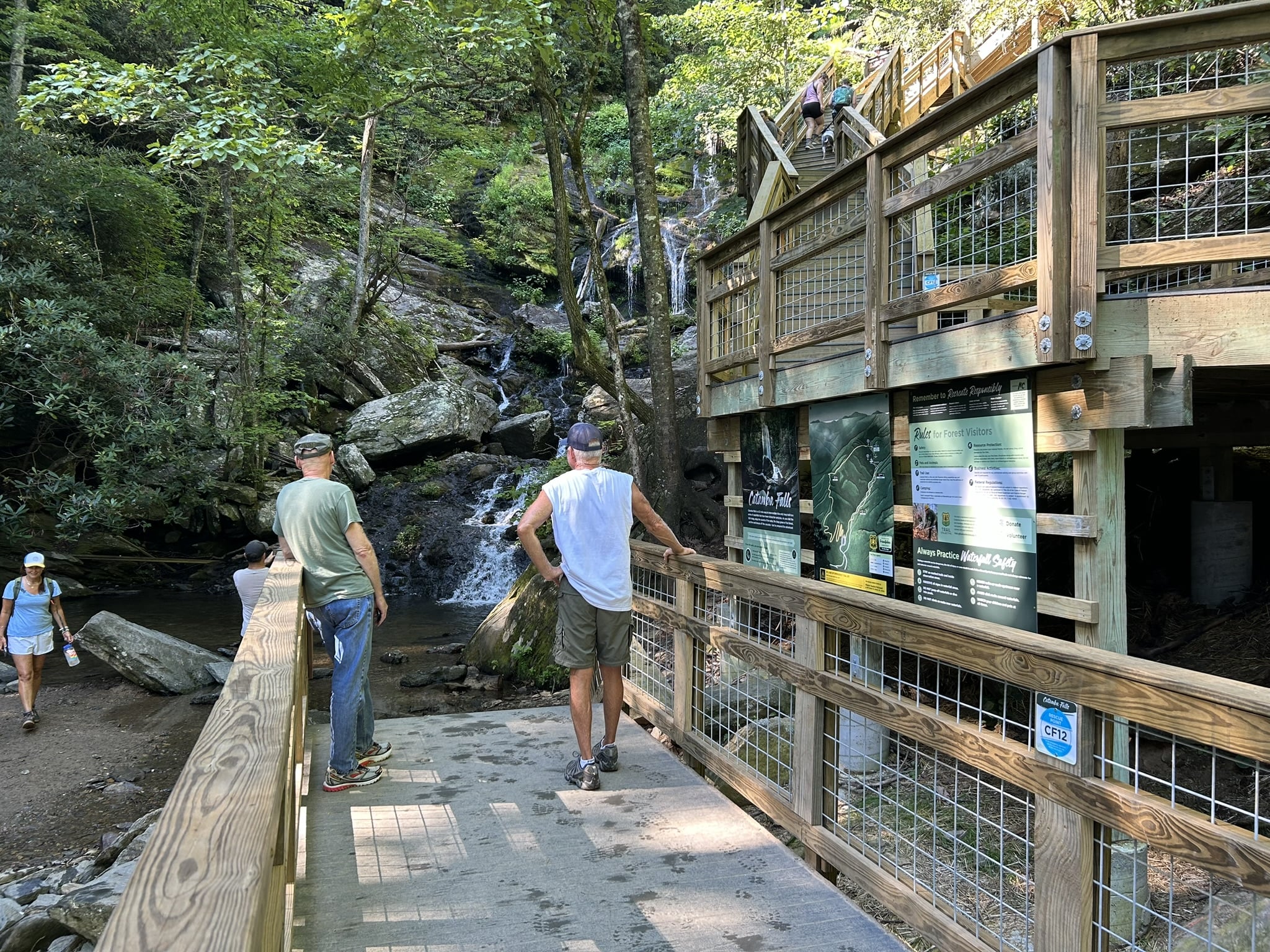
Before the staircase and boardwalk were built, hikers had to navigate a small path through a boulder field to get to the base of the falls.
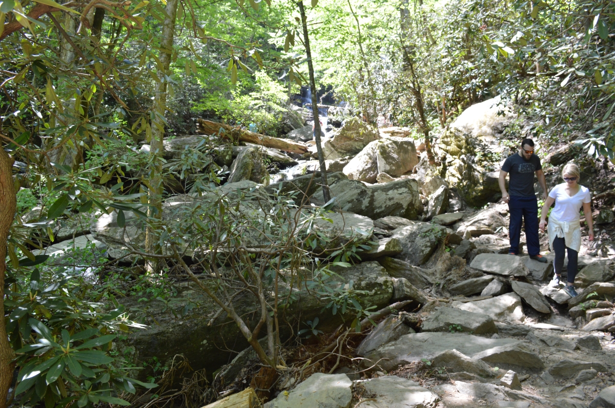
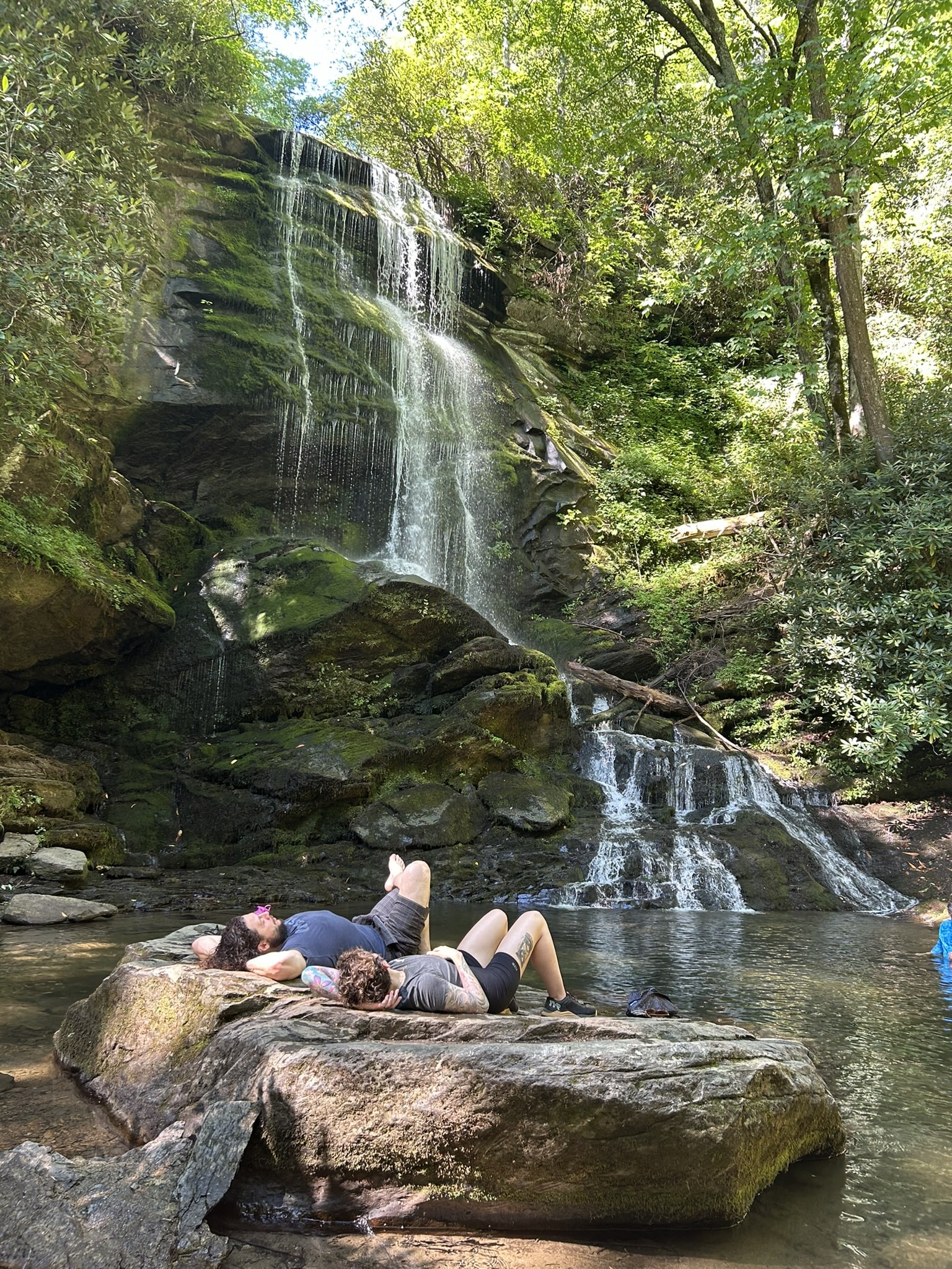
Here are some hikers at the base of Lower Catawba Falls in July 2024:
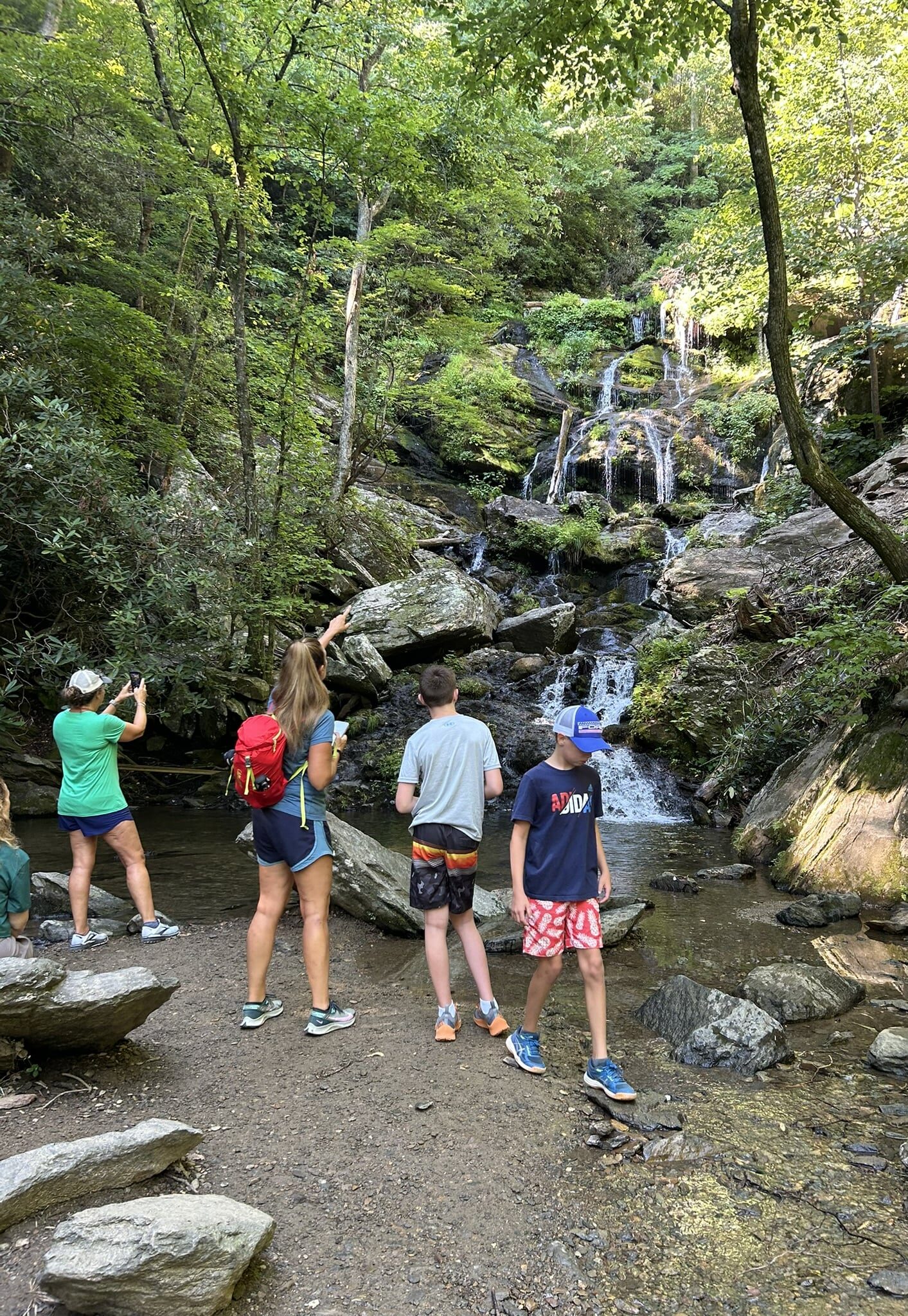
Lower Catawba Falls, July 2024:
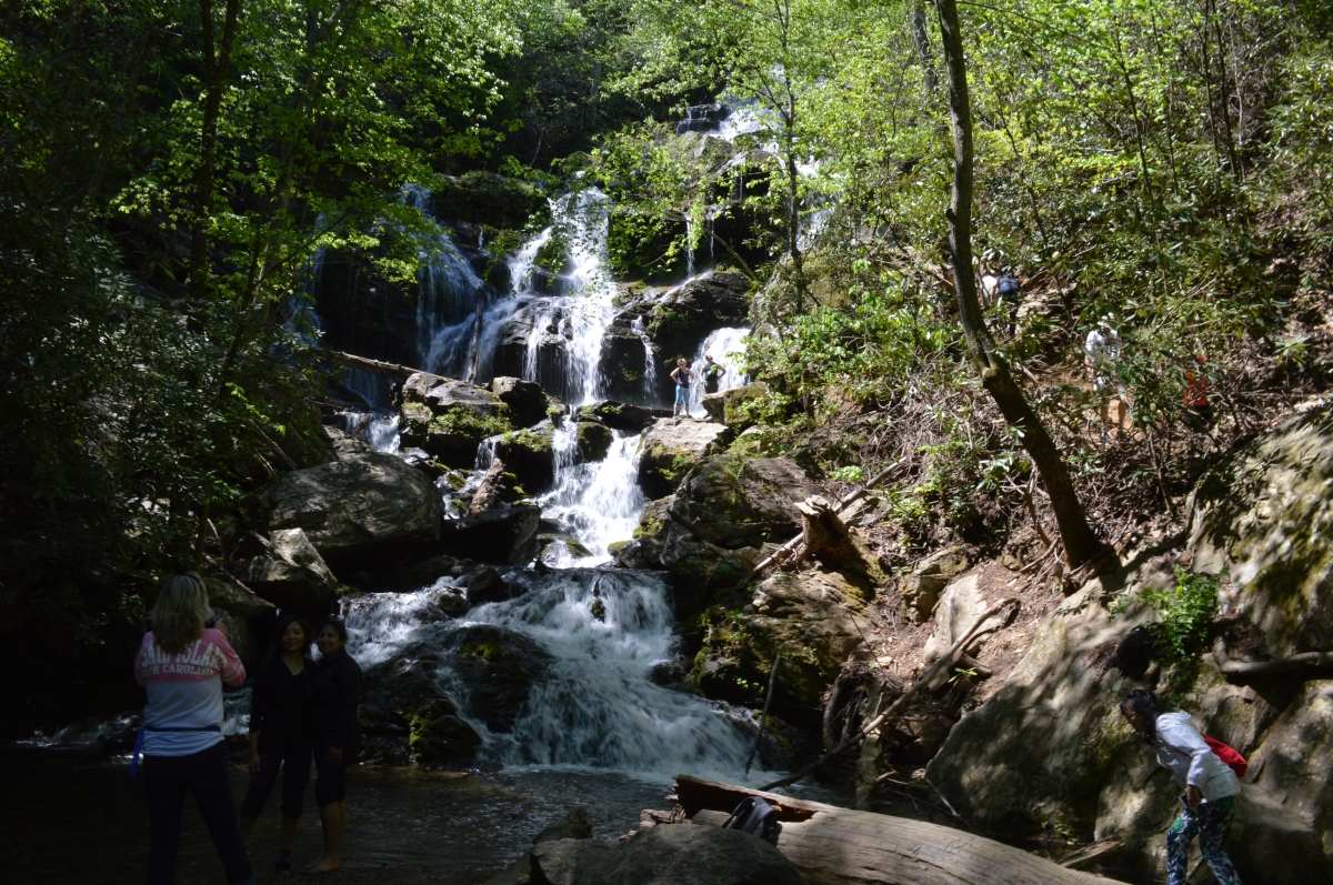
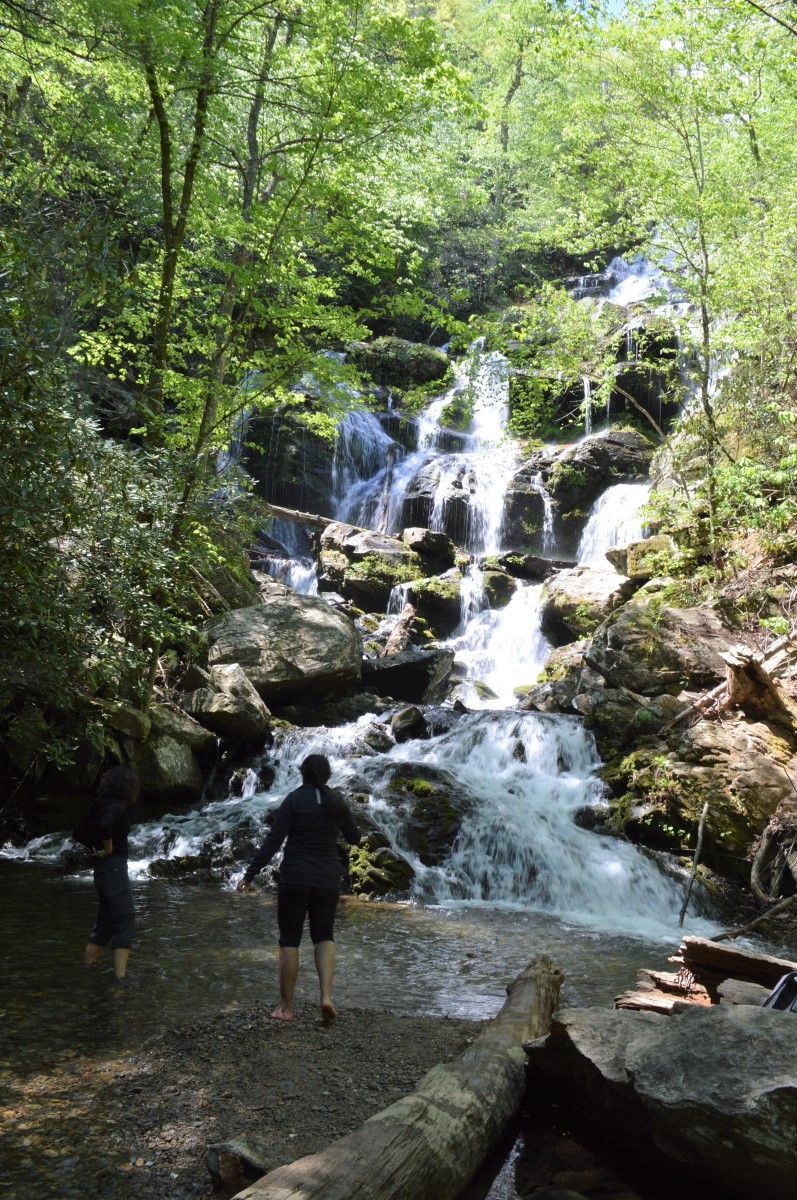
In 2014, when the water was fuller:
Trail To Upper Catawba Falls
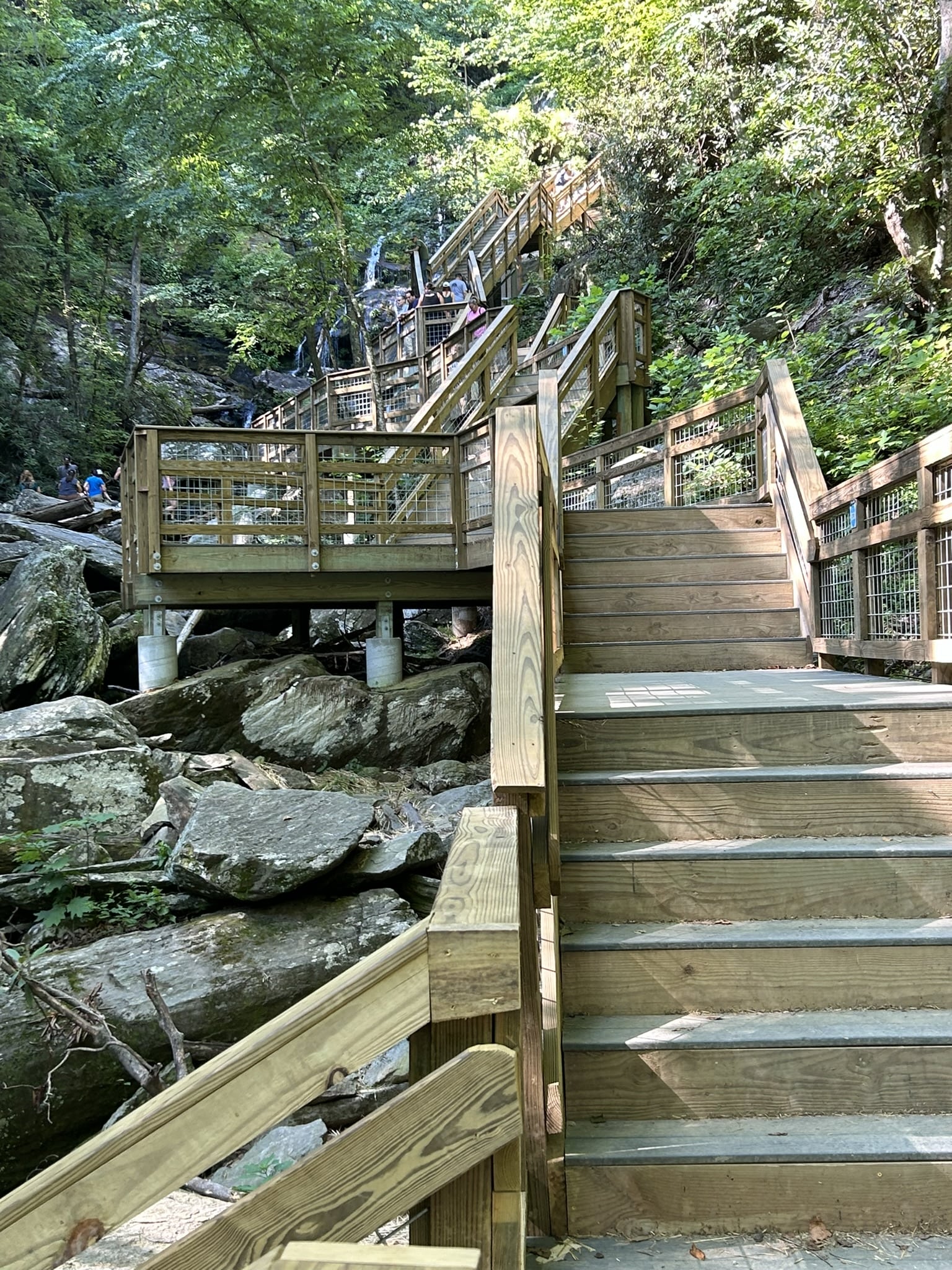
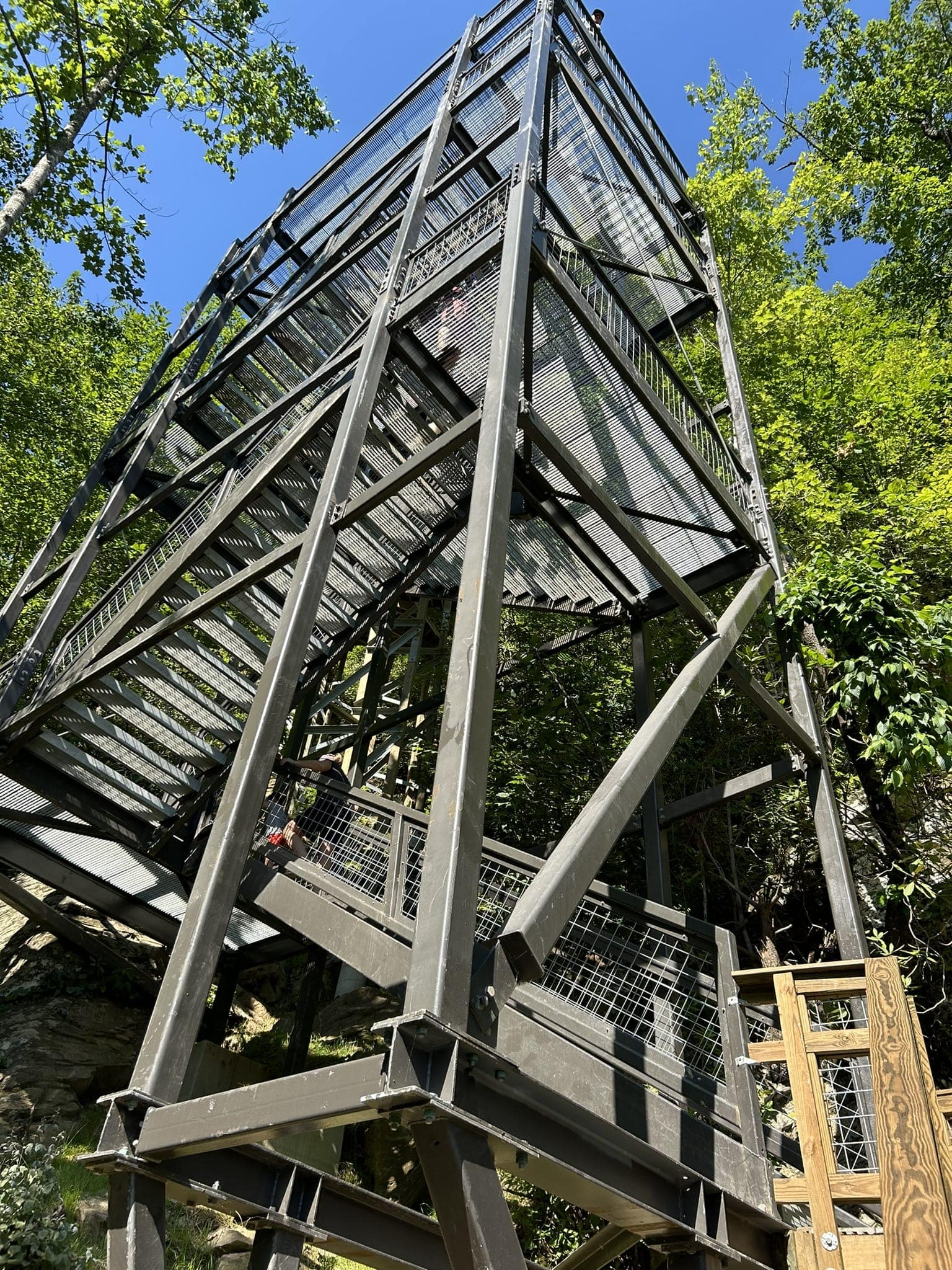
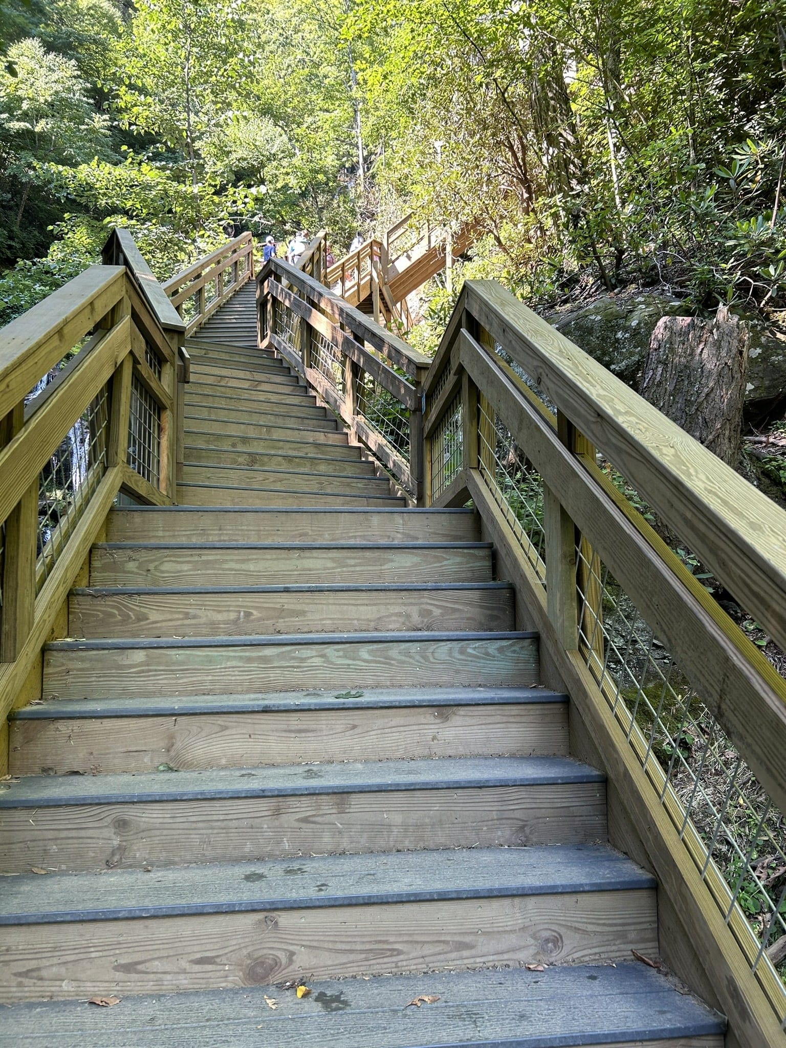
Construction of access to the upper falls began in May 2022 and required closing the site for 17 months. Prior to creating public access to the upper falls, the trail was variously described as extremely steep, slippery and dangerous, and authorities regularly dealt with serious injuries and deaths among hikers who ignored warnings against attempting it. Today, the upper part of the trail is about one third of a mile and comprises 580 steps up a series of staircases and a 60-foot, three-story metal tower.
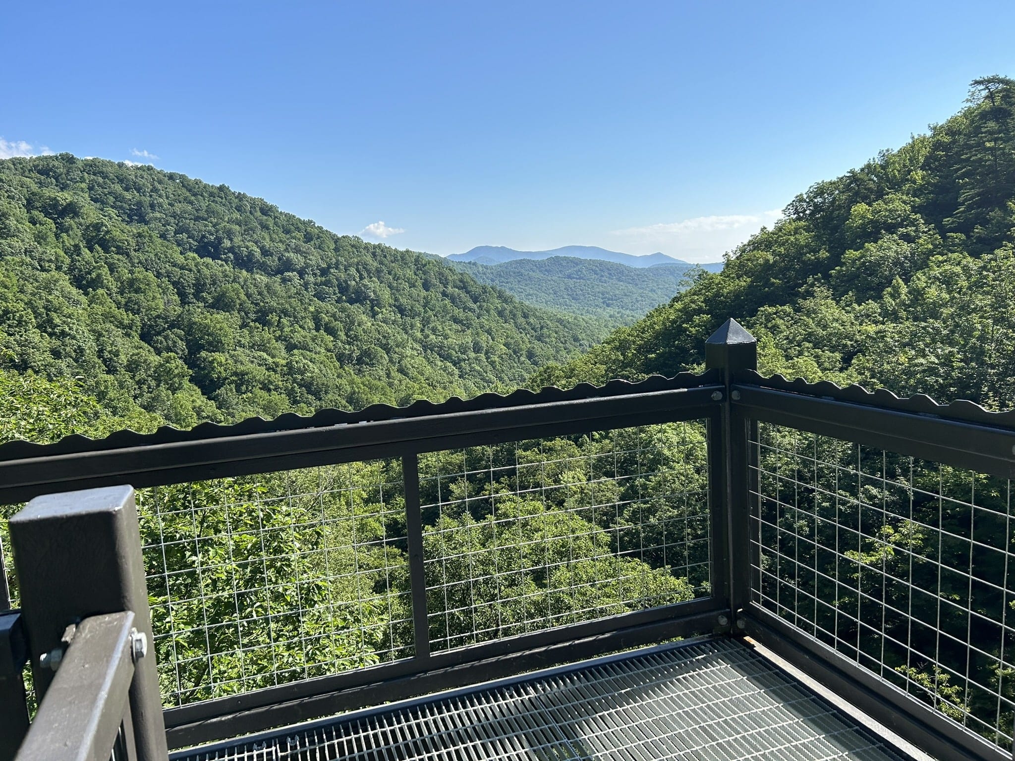
Here’s a look at the tower, which has landings at each level overlooking the cascade above the lower waterfall, and at the top, mountain ridges downriver.
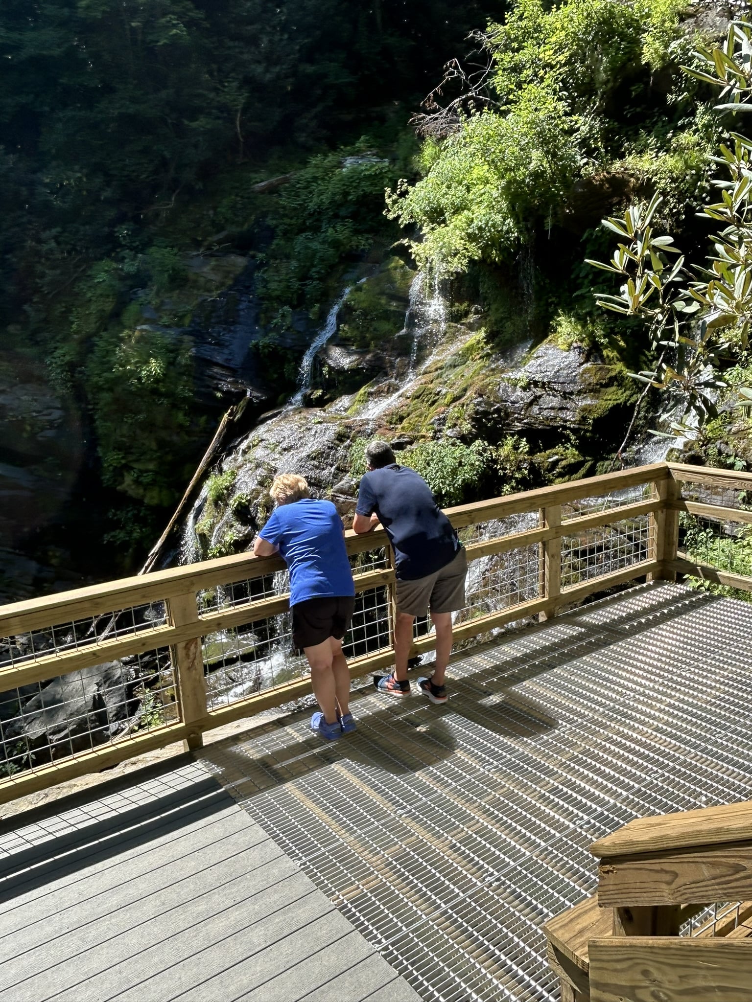
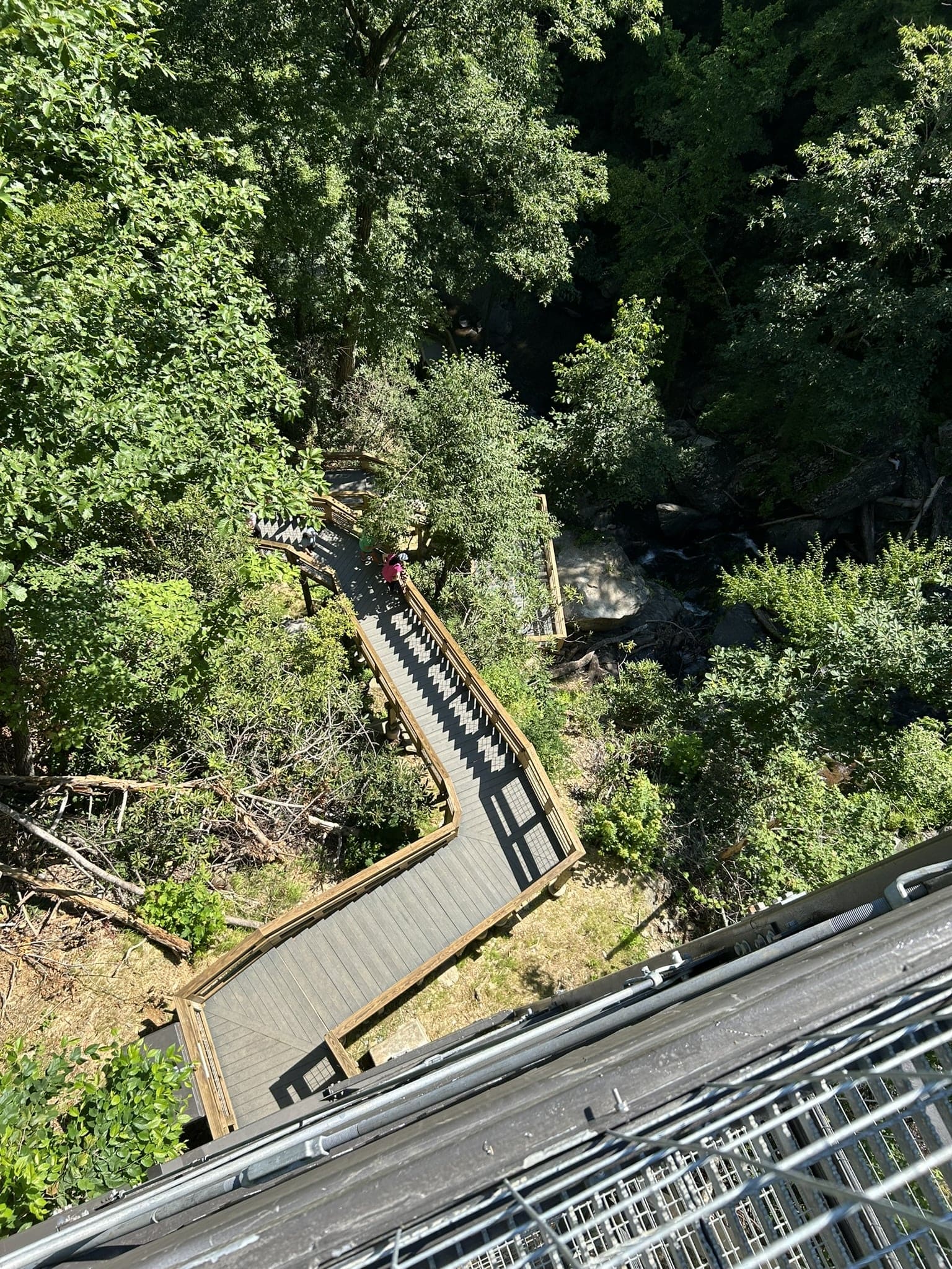
Looking down from the top of the tower back toward the lower falls:
 At the top of the tower, more stairs …
After the final staircase and a couple of turns back in the woods, you arrive at Upper Catawba Falls.
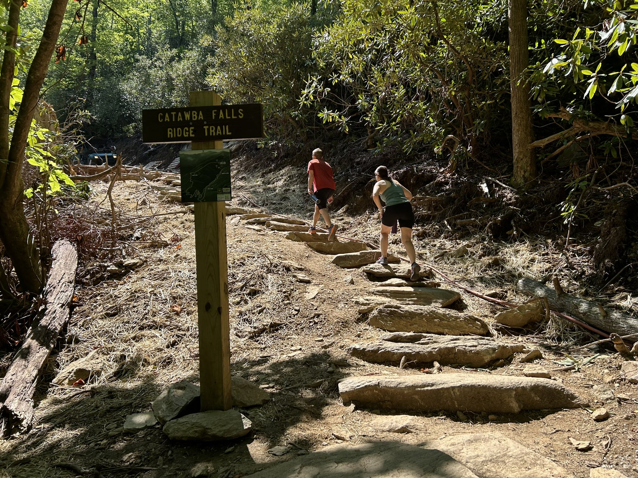
The 2.1-mile Ridge Trail is an alternative route to or from Upper Catawba Falls.
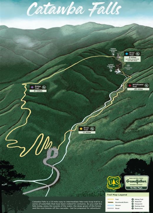
Here’s the Forest Service’s map of the recreation area:
The Catawba Falls trailhead can be found off of Catawba River Road in Old Fort, which is in McDowell County. From Interstate 40, take Exit 73 toward the south. From I40E, Catawba River Road is an immediate right at the bottom of the exit ramp. Follow it for 3 miles to the parking lot.
Return to National Forests.
Visit Our Sister Site
Carolina Music Festivals, a calendar and guide to music festivals in North Carolina.