Cape Hatteras National Seashore – Home – Parks & Forests – Camping – Hiking – Links – Adventures
Back to National Parks Back to Camping in National Parks
Cape Hatteras National Seashore
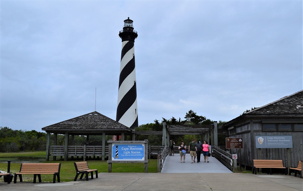
The star attraction of the Cape Hatteras National Seashore is undoubtedly the iconic lighthouse at Cape Hatteras, which is the tallest brick lighthouse in the United States and is available to climb from Memorial Day through mid-October.
- See our page about three lighthouses to visit at Cape Hatteras.
But the 70 miles of barrier islands within the national seashore support all sorts of water sports — from fishing to swimming, kayaking, windsurfing and snorkeling — as well as simple sightseeing and relaxation.
Many people go to North Carolina’s Outer Banks for beach vacations in the towns of Rodanthe, Waves, Salvo, Buxton and Ocracoke Island, which are surrounded by the national seashore. On our June 2018 visit, we stayed on Ocracoke, in part for the Ocrafolk music festival, and were reminded of the length of the larger Hatteras Island and how far apart various sites of interest are.
See below:
- Camping at Cape Hatteras
- Ocracoke Ponies
- Hiking at Cape Hatteras
- British Cemetery on Ocracoke Island
Cape Hatteras National Seashore Beaches
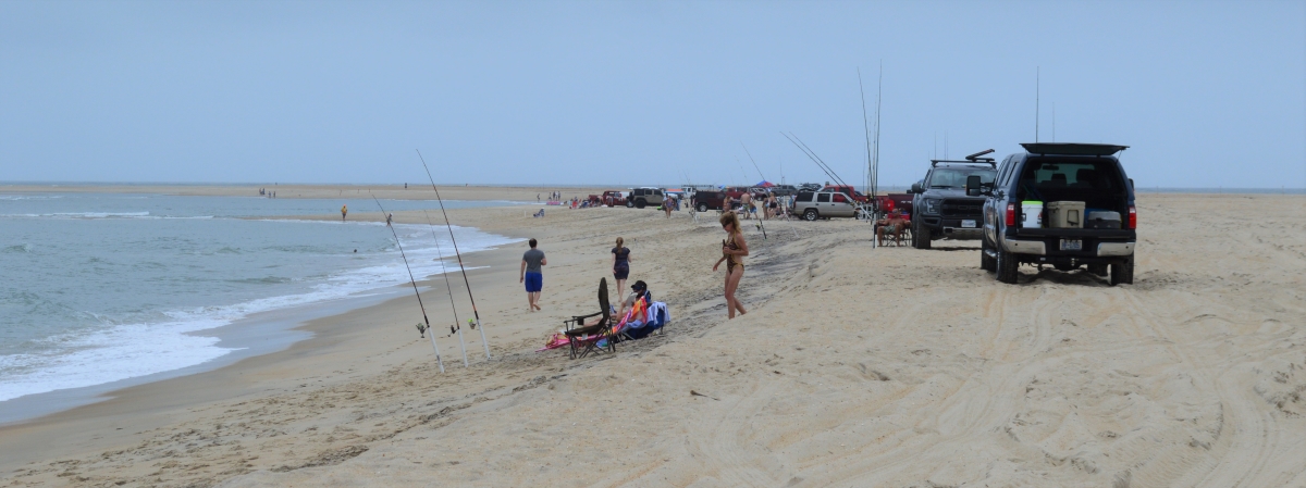
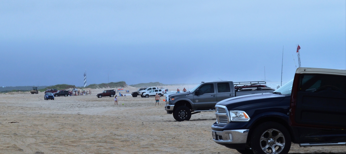
The National Park Service provides five beach day use areas from Coquina Beach in the north to Ocracoke at the southern end of the seashore. Some areas have lifeguards as well as bathhouses. Overall there are about a dozen beach access areas with parking, plus nearly 20 off-road vehicle (ORV) ramps.
The folks in the next three photos are on the beach at Cape Point, near the Cape Hatteras Lighthouse in Buxton. Visitors centers on the seashore sell ORV permits.

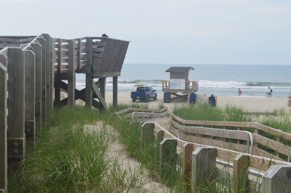
The Ocracoke Day Use Area’s pedestrian ramp to the beach is typical, and the area protected by lifeguards is small (note the flag beyond the stand in the second photo below) …

At least one concessionaire at Ocracoke offers horseback rides on the beach.

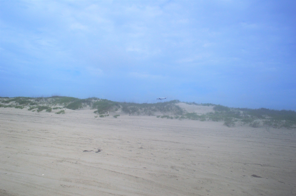
A plane heads for the island’s small airport …
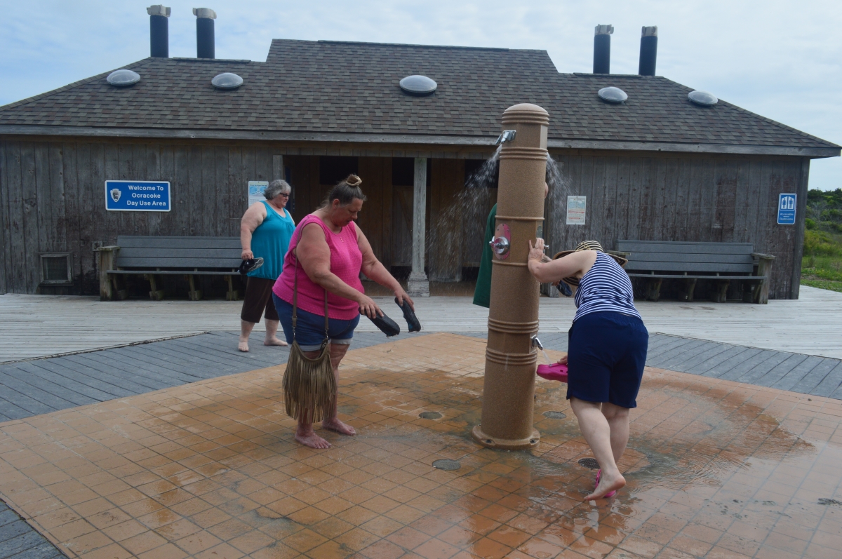
Showers and bathrooms at the Ocracoke beach …
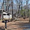
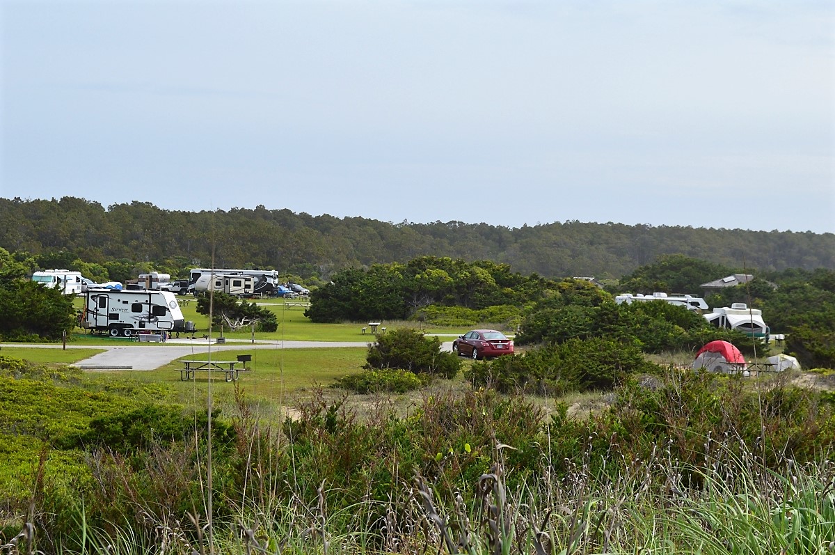
Camping at Cape Hatteras National Seashore
The Ocracoke campground is one of four campgrounds at Cape Hatteras National Seashore, which provide a total of nearly 600 sites for RVs and tents. There are 135 sites at Ocracoke.


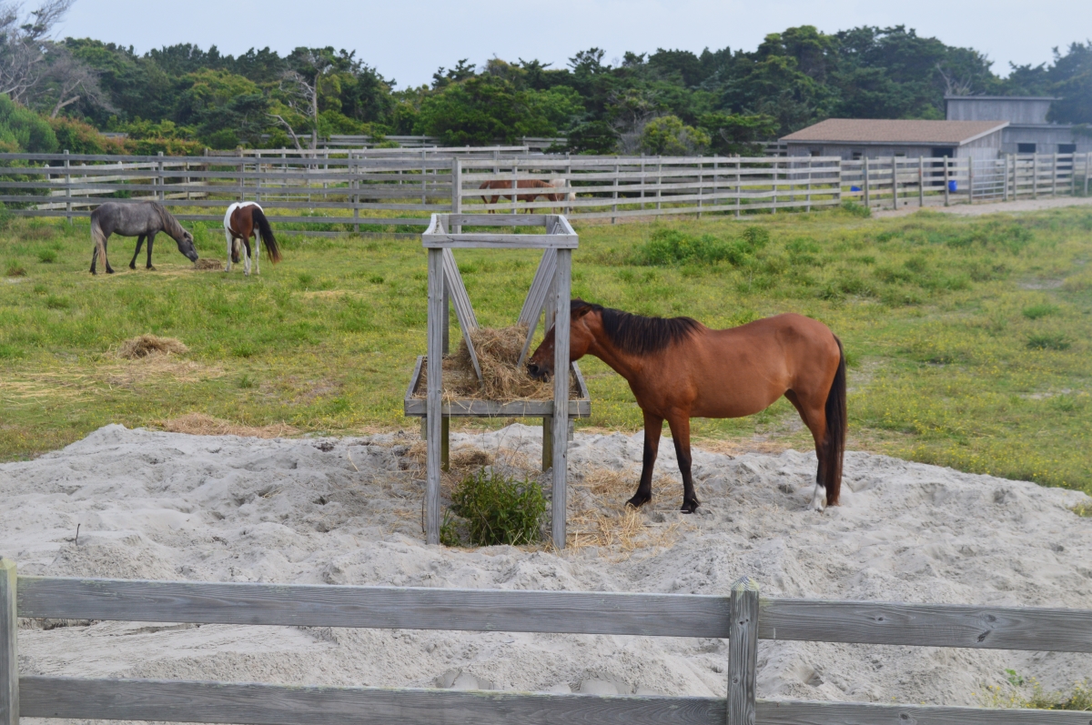
Ocracoke Ponies
The Ocracoke Campground is directly across N.C. 12 from the Ocracoke Pony Pen. Wild ponies descended from domesticated Spanish horses date to the 1730s on Ocracoke. Island residents used them for farming and other chores. The Ocracoke Boy Scouts troop was the only mounted troop in the nation, and taught scouts to rope, tame and care for their own horses.
But the horses were corralled in 1959 to protect them from automobile traffic, and the Park Service has cared for them since the early 1960s.
Here are a few ponies seen from an observation deck just off the highway.
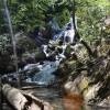
Hiking at Cape Hatteras National Seashore
The Hammock Hill Nature Trail begins in the Pony Pen parking lot and is a 3/4-mile loop through the maritime forest to the salt marsh and the Pamlico Sound before returning. It also leads to a second observation deck overlooking a pasture the ponies graze in.
There were too many bugs to make the walk worthwhile on our morning visit, and a quick run to the second observation deck confirmed that the pasture was empty.
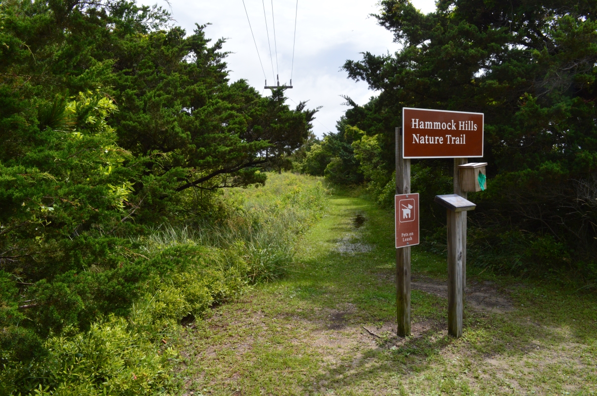
Instead, we walked the service road beyond the campground dump station, which is at the other end of the Pony Pens parking lot. It was an easy walk, but the end of the trail was flooded, so we could only look out at the sound.


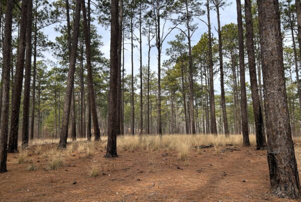
There are several hiking opportunities at the Cape Hatteras National Seashore — including the 4.5-mile Open Ponds Trail near the Buxton Woods Coastal Reserve at Buxton and the Coastal Land Trust’s Springer’s Point Nature Preserve on Ocracoke — but not until a return visit in cooler weather.
British Cemetery on Ocracoke Island
The British Cemetery on Ocracoke Island contains the bodies of four British seamen whose ship, the HMS Bedfordshire, was torpedoed and sunk by a German sub in May 1942.

Adjacent to the sailors’ graves, Pam views a black granite memorial erected by the people of Ocracoke, and crosses that previously marked the crewmen’s resting sites.
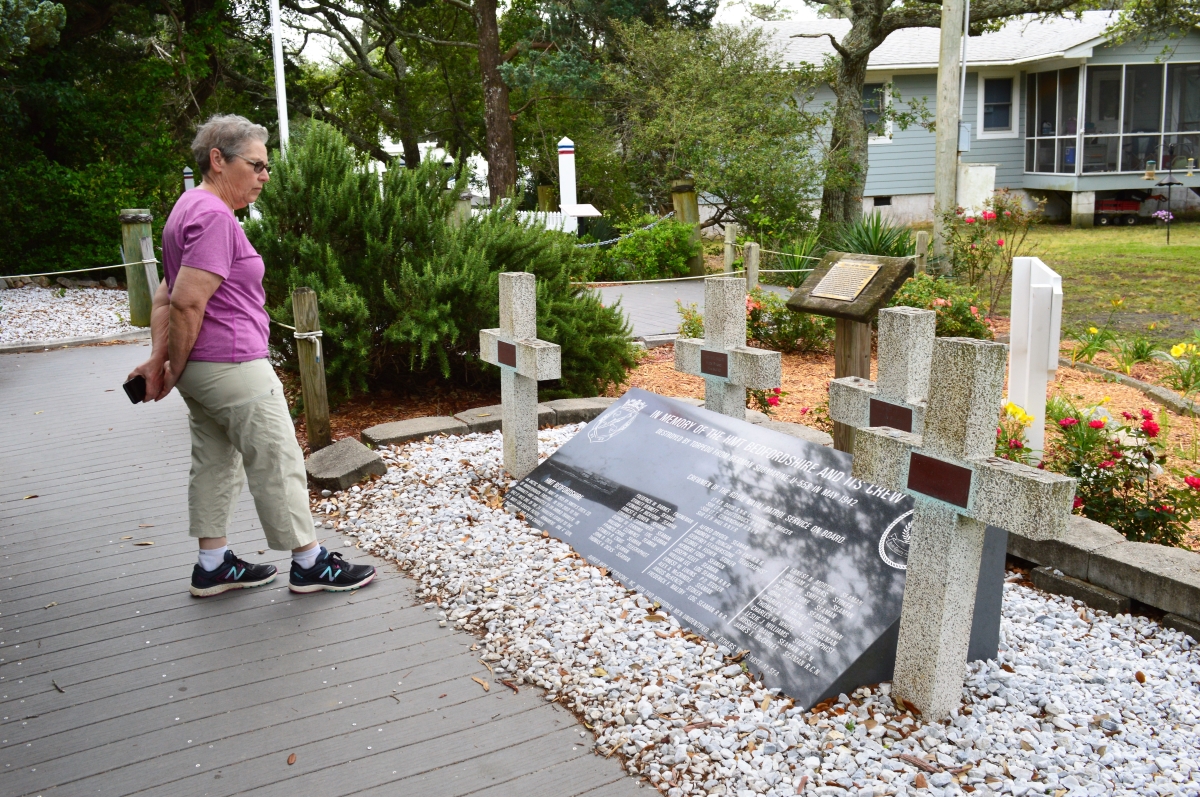
The U.S. Coast Guard maintains the graves on Ocracoke and the National Park Service maintains a similar British Cemetery at Buxton.
There’s far more to see and do at the Cape Hatteras National Seashore. Download the map below at the NPS website.

Return to National Parks Back to Camping in National Parks
Visit Our Sister Site
Carolina Music Festivals, a calendar and guide to music festivals in North Carolina.