Parks and Forests in North Carolina
Carolina Outdoors Guide is a directory of national and state recreation lands across North Carolina. At right and at pages under the menu above we provide information about national and state parks, national and state forests, wildlife and nature preserves, scenic rivers, beaches, reservoirs and more open to the public for recreation.
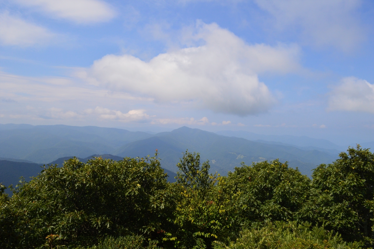
If you are unfamiliar with North Carolina, start with the Parks & Forests pages at right to learn about the numerous parks and recreation areas available across the state and what they have to offer.
As we get to various sites around the state, we are adding pages that profile parks, recreation and day use areas, etc. Photos alongside directory listings are links to these page; click on them for additional photos and information from our visits. Find all of these extra pages in the menu above under Adventures.
Also explore our Camping pages for information about family campgrounds, groups camps and backcountry and wilderness camping opportunities across the state. Our Hiking pages provide information about trails of 5 miles or more in parks and forests across the state, as well as national trails, like the Appalachian Trail, which are partially in North Carolina, and North Carolina’s State Trails program, including the Mountains-to-Sea State Trail and several more hiking, bridle and paddle trails.
Visit Our Sister Site
Carolina Music Festivals, a calendar and guide to music festivals in North Carolina.
Find Your NC Parks & Forests Adventure …