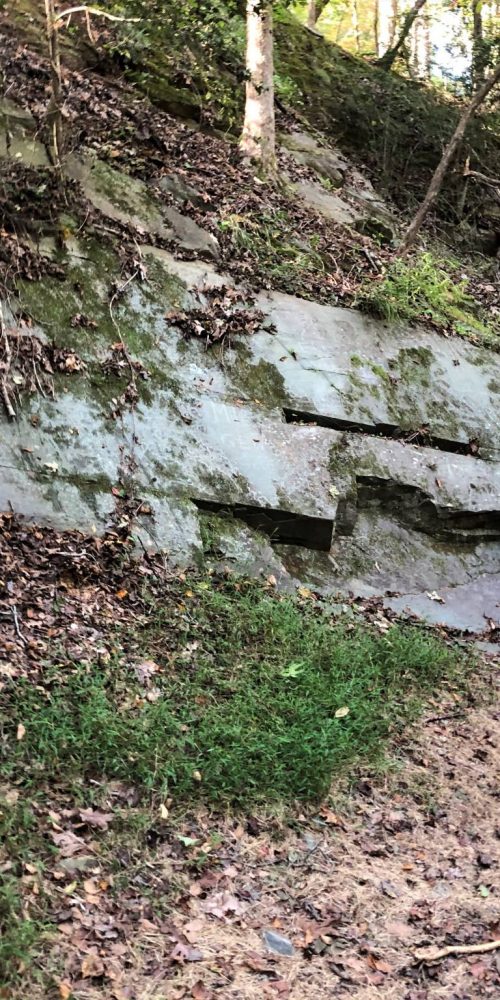
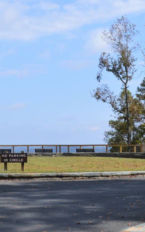
Devil’s Courthouse, Blue Ridge Parkway
Devil's Courthouse offers a short hike to 360-degree views into three neighboring states
Carolina Outdoors Guide – Parks & Forests – Camping – Hiking – Adventures


Just about any site we list on our parks and forests pages has some kind of walking trail. The National Forests in North Carolina offer some 1,700 miles of trails, and for multi-day hikes, backcountry areas allow primitive camping.
For our Hiking pages, we list trails that are generally 5 miles or longer. We’ve provided links to maps and some additional information where it’s available.
Trail names, lengths (one-way) and difficulty levels may differ among publications. Check at park offices or ranger stations for maps and guides.
For the definitive guide to hiking in North Carolina, we recommend “North Carolina Hiking Trails” by Allen de Hart, which is a source for some of the information below.
Also, Joe Miller, the former outdoors/fitness reporter for The News & Observer in Raleigh, has published “100 Classic Hikes in North Carolina” and “Backpacking North Carolina.”
After destructive storms, check at the links below to make sure sites are open.
Updated August 2025.
Below are some of the more significant trails in North Carolina’s National Forests, including the Bartram National Recreation Trail and the Uwharrie National Recreation Trail, and specified backcountry areas with descriptions of hiking opportunities.
Croatan National Forest (Forest Map)
– Neusiok Trail. Easy, 20.4 miles. From the Neuse River at Pine Cliff Picnic Area off of N.C. 306 north of Havelock south to the Newport River at Oyster Point Campground near Newport. Trail crosses cypress swamps, hardwood ridges, longleaf pine savannah and pocosins (low, swampy areas) along the Neuse River and across several paved and unpaved roads. It is part of the state’s Mountains-to-Sea State Trail. Camping is allowed anywhere along the trail (except at trailheads and in recreation areas) but there are three three-sided shelters with grills along the trail. Each accommodates about five people. Trail Brochure.
Nantahala National Forest (Forest Map; includes Pisgah National Forest)
– Bartram National Recreation Trail. Moderate/strenuous. Trail begins in Georgia and includes nearly 80 miles in North Carolina, entering the state just south of Highlands near Rabun Bald and extending north-to-west, joining the Appalachian Trail at two points (including at Wayah Bald) and ending on Cheoah Bald. Includes high, rocky and steep areas as well as less-strenuous sections; many side trails lead to views of Blue Ridge and Smoky Mountains. Bartram Trail Conservancy map.
– Blue Valley, near Highlands. Wilderness camping area with 22 dispersed campsites has 8 miles of trails, including Bartram Trail segment, Hurrah Ridge, West Fork, Glenn Falls, Chinquapin Mountain. Trails run through side-slopes of Blue Valley, crossing small streams and Glenn Falls. Wilson Lake is a short distance away and available for fishing and swimming.
– Fires Creek Recreation Area, near Hayesville. Includes 25-mile-loop Fires Creek Rim Trail, Bald Springs, Chunky Gal and Shinbone trails. Remote, high elevation, some primitive trails; low use. Bridle trails. Bristol Fields Horse Camp is in the area.(828) 837-5152.
– Joyce Kilmer-Slickrock Wilderness Area, near Robbinsville and Santeetlah Lake. 42 miles of trails, including the 13.3-mile Slickrock Creek Trail (considered one of the 10 toughest trails in the United States, according to the Forest Service), Hangover Lead, Nichols Cove, Deep Creek, Haoe Lead, Stratton Bald and Naked Ground. In the Joyce Kilmer Memorial Forest, an easy, 2-mile Memorial Loop Trail passes among the huge trees of one of the last remaining old growth forests.
– Panthertown Valley Backcountry Area, near Cashiers. The “Yosemite of the East” offers more than 25 miles of trails for hiking, horseback riding and mountain biking. Numerous trails. Stream valley with views, deep gorges, rock outcrops and waterfalls. Camping limited to 12 people per site. See also Friends of Panthertown.
– Snowbird Backcountry Area, near Robbinsville. 37 miles of trails, including Big Snowbird, Burntrock Ridge, King Meadows, Middle Falls, Mitchell Lick, Sassafras Creek and Snowbird Mountain. Stream basin, ridge-top and creekside trails and waterfalls. The Snowbird Creek watershed is also well-known for its trout fishing.
– Tsali Recreation Area, near Almond on Fontana Reservoir. 39 miles of trails mostly used by mountain bikers but open to hikers and horse riders, including Thompson Loop Trail, Tsali Horse Trail and Mouse Branch Loop Trail. Easy to moderate trails with lake views, wildflowers, widlife. Hikers may travel the trails on any day, but mountain bikers and equestrians are kept separated by alternating-day schedules for availability. Bikers and equestrians are charged a fee.
Pisgah National Forest (Forest Map; includes Nantahala National Forest)
– Hot Springs. The French Broad River and Appalachian Trail travel right through the town of Hot Springs. The area has 44 miles of trails, 13.4 miles of which are designated for mountain biking. They include the Jack Branch Trail, which is often combined with the River Ridge Loop Trail at the Murray Branch Picnic Area, as well as the Mill Ridge, Shut-In and Van Cliff Loop, which is at the Rocky Bluff Campground.
– Linville Gorge Wilderness, near Linville Falls. More than 50 miles of trails including a segment of the Mountains-to-Sea State Trail, Linville Gorge Trail, Shortoff Mountain, Jonas Ridge, Rock Jock, Brushy Ridge and Conley Cove. The 2,000-foot-deep gorge on Linville River has some of the most rugged terrain east to the Rockies and such well-known rock climbing opportunities as Table Rock, Hawksbill and the Chimneys. A camping permit is needed on weekends and holidays May through October. Group size is limited to 10.
– Middle Prong Wilderness, near Waynesville. 22 miles of trails, including Buckeye Gap, Green Mountain, Haywood Gap and part of the Mountains-to-Sea State Trail. Terrain is extremely steep, with elevations from 3,200 feet on West Fork Pigeon River to 6,030 on Cold Mountain. The area includes Shining Rock Ledge (elevation more than 5,000 feet) and five peaks at 6,000 feet.
– Shelton Laurel Backcountry, near Hot Springs. 14.7 miles of combined hiking on five different trails, many of which intersect with loop options, and access the Appalachian Trail, as well as, Jerry Cabin Shelter. The Hickey Fork and Jerry Miller trails provide views of waterfalls and cascades in higher elevations. (828) 689-9694.
– Shining Rock Wilderness, southeast of Waynesville. 40 miles of trials, including Art Loeb, Cold Mountain, Fork Mountain, Investor Gap, Little East Fork, Old Butt and Shining Creek. Ivestor Gap and Little East Fork trails are also open to horseback riding. Wilderness is made up of steep and rugged high-elevation ranges; trails are rated difficult, except for 3.7-mile Ivestor Gap, which is easy. (828) 877-3350.
– South Toe River Area, near Burnsville. Includes the Black Mountain Campground, 43 miles of trails, including Black Mountain Crest, Buncombe Horse Range, Bald Knob Ridge, Mount Mitchell, Big Tom Gap, Higgins Bald Ground, part of Colbert Ridge, Woody Ridge. Many loops. Significant elevation changes in the Mount Mitchell area; steep, rugged and rocky trails. Bridle trails. (828) 682-6146.
– Wilson Creek, near Linville. (See also National Wild and Scenic Rivers) 10 miles of trails, including Wilson Creek, Bill Crump, Wilson Creek Spur, White Rocks. Narrow, deep stream valley, streamside trails. Mortimer Campground is nearby. (828) 652-2144.
Uwharrie National Forest (Forest Map)
– Uwharrie National Recreation Trail. 20.5 miles, moderate. Starts on N.C. 24/27 10 miles west of Troy along with Dutchman’s Creek Trail (a 9.5 mile loop) and hikig north ends at S.R. 1306 2 miles east of Ophir. Additional access at N.C. 109, 8 miles west of Troy and along other roads the trail crosses. Variety of scenery, streams and rocky climbs, Dark Mountain, three camping areas.
– Badin Lake Recreation Area (Map). Approximately 40 miles of trails available for hiking include the 5.3-mile (easy) Badin Lake Trail loop, which has a 2.5-mile route available, and the 3.6-mile River trail, which is a moderate hike. The rec area is also home to Badin Lake Campground, group campground and horse camp.
– Birkhead Mountains Wilderness, near Troy. The Wilderness comprises 5,160 acres at the northern end of the Uwharrie Mountains. More than 10 miles of designated trails for hiking, including Birkhead Trail (5.6 miles), Robbins Branch Trail (3.2 miles) and Hannah’s Creek Trail (1.4 miles). Long, wooded ridges, moderately steep terrain, small streams, rocky outcroppings and the Uwharrie River; elevations from about 450 feet on drainage bottoms to around 950 feet on Cedar Rock Mountain. Camping is allowed in the wilderness area as along as it is at least 200 feet from all streams, creeks, roads and wildlife fields.
Carolina Music Festivals, a calendar and guide to music festivals in North Carolina.
More results...
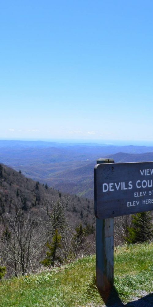 Devil’s Courthouse, Blue Ridge Parkway
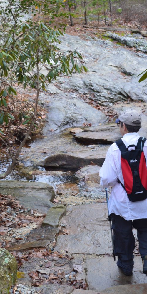
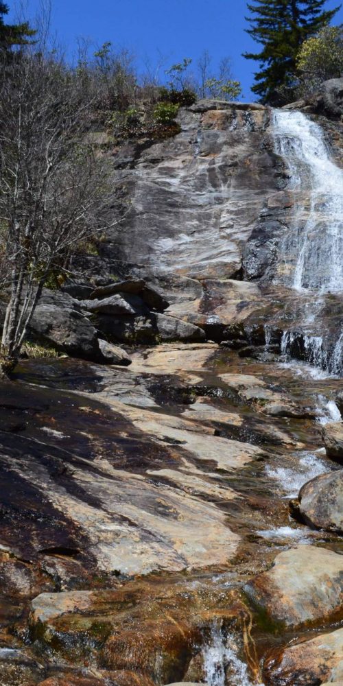 Graveyard Fields & Upper Falls, Blue Ridge Parkway
 Morrow Mountain State Park, Albemarle, N.C.
 Three Rivers Trail, Morrow Mountain State Park
 Quarry Trail, Morrow Mountain State Park
 Morrow Mountain Trail, Morrow Mountain State Park
 N.C. State Parks Leading New Year’s 2020 First Day Hikes
 Land Next to Popular Croatan Forest Nature Trail Protected