Devil’s Courthouse, Blue Ridge Parkway
Devil's Courthouse offers a short hike to 360-degree views into three neighboring states
Carolina Outdoors Guide – Parks & Forests – Camping – Hiking – Adventures


Just about any site we list on our parks and forests pages has some kind of walking trail. North Carolina’s state forests offer varied hiking opportunities. See also our Educational State Forests page for several parks operated by the N.C. Forest Service that offer up to 10 miles of easy to moderate hiking trails.
For our Hiking pages, we list trails that are generally 5 miles or longer. We’ve provided links to maps and some additional information where it’s available.
Trail names, lengths (one-way) and difficulty levels may differ among publications. Check at park offices or ranger stations for maps and guides.
For the definitive guide to hiking in North Carolina, we recommend “North Carolina Hiking Trails” by Allen de Hart, which is a source for some of the information on our hiking pages.
Also, Joe Miller, the former outdoors/fitness reporter for The News & Observer in Raleigh, has published “100 Classic Hikes in North Carolina” and “Backpacking North Carolina.”
After destructive storms, check at the links below to make sure sites are open.
Updated August 2025.
Bladen Lakes State Forest, Elizabethtown (Locator Map, Forest Map)
Bladen Lakes State Forest has over 130 miles of forest roads and 30 miles of public roads available to the public for hiking, biking and horseback riding. Turnbull Creek Educational State Forest is adjacent to BLSF. While Turnbull Creek has about 10 miles of public hiking trails throughout the forest. Horseback riding is not allowed at Turnbill Creek. Those who venture out can find landscape features like Carolina bays, pocosins, sand ridges, river bottoms and swamps.
DuPont State Recreational Forest, Cedar Mountain (Locator Map, Forest Maps)
DuPont offers more than 90 miles of trails and dirt roads suited for casual and more serious hikers. Most trails also allow horseback riding and mountain biking. Three large waterfalls on the Little River offer stunning views, Grassy Creek has a couple more smaller falls, and yet another tumbles into Cascade Lake.
Headwaters State Forest, Brevard. (Locator Map, Forest Map)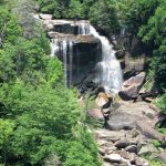
The southeastern border of Headwaters State Forest follows the Foothills National Recreation Trail, which runs for 77 miles between South Carolina’s Oconee State Park and Table Rock State Park and dips into North Carolina for 5.5 miles near Whitewater Falls (rated easy). The 14.2-mile Sassafrass Mountain to Caesar’s Mountain State Park (S.C.) spur trail (strenuous) is also mostly in North Carolina. Click on the photo for more about Whitewater Falls, the tallest waterfall east of the Mississippi River.
Carolina Music Festivals, a calendar and guide to music festivals in North Carolina.
More results...
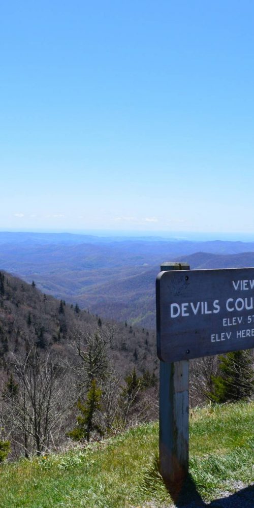 Devil’s Courthouse, Blue Ridge Parkway
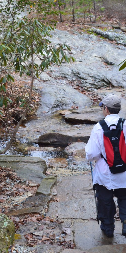
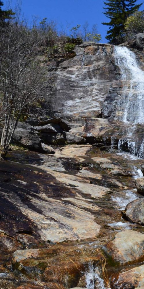 Graveyard Fields & Upper Falls, Blue Ridge Parkway
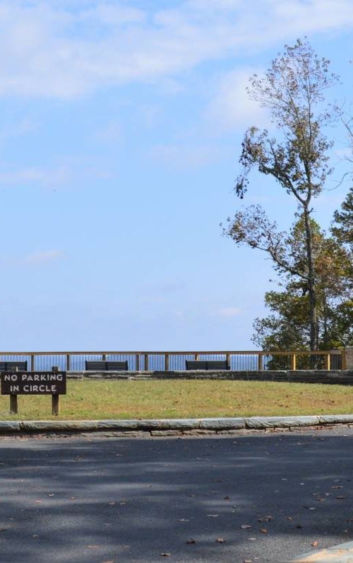
 Morrow Mountain State Park, Albemarle, N.C.
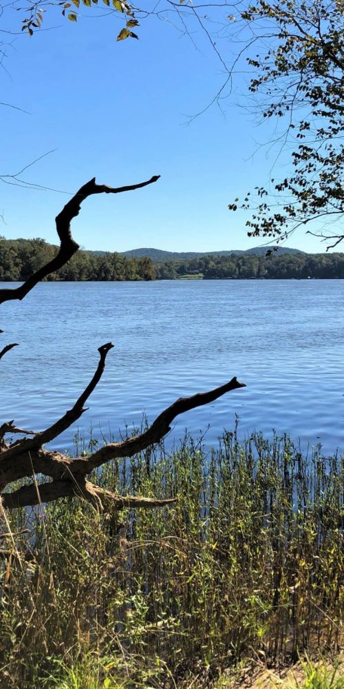 Three Rivers Trail, Morrow Mountain State Park
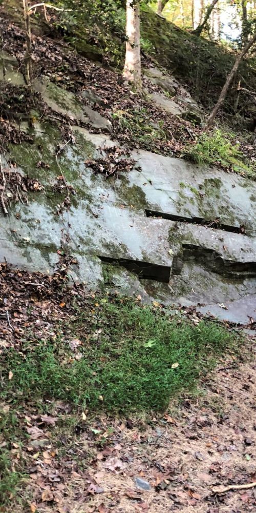 Quarry Trail, Morrow Mountain State Park
 Morrow Mountain Trail, Morrow Mountain State Park
 N.C. State Parks Leading New Year’s 2020 First Day Hikes
 Land Next to Popular Croatan Forest Nature Trail Protected