Devil’s Courthouse, Blue Ridge Parkway
Devil's Courthouse offers a short hike to 360-degree views into three neighboring states
Carolina Outdoors Guide – Parks & Forests – Camping – Hiking – Adventures


N.C. State Parks image
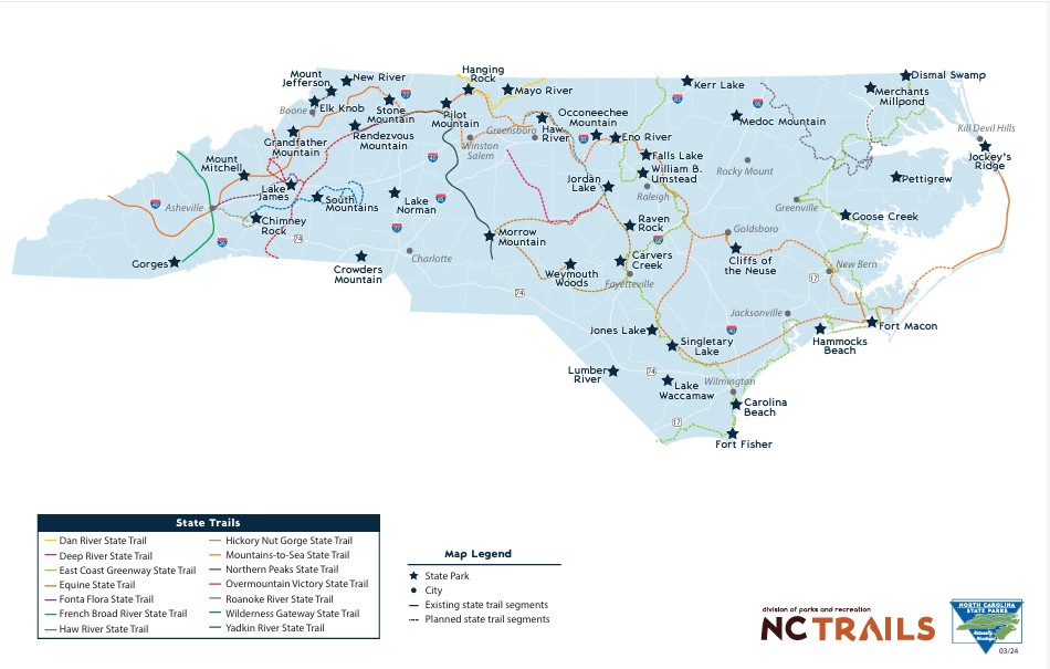
Through the North Carolina State Trails program, private landowners, nonprofit organizations and government agencies plan, develop and manage all types of trails across the state as units of the North Carolina State Parks system. Each section of a state trail is sponsored by a federal, state or local government agency, nonprofit organization or private landowner responsible for designing, building, maintaining and managing their section. The Trails Program is responsible for overall corridor planning and coordination and provides guidance and assistance to section sponsors.
As of August 2025, there were 14 state trails in place, under development or planned as hiking trails, bridle trails, biking trails, paddle trails or multiuse trails.
After destructive storms, check the links below to make sure trails are open.
Updated August 2025.
Corridors designated as State Trails in North Carolina are listed below. Some incorporate parts or all of existing trails, some are under construction and some under construction have completed segments that are open. Click through at the links for maps, trail planning documents and additional information.
— Dan River State Trail — paddle trail. Ninety miles of the Dan River in Surry, Stokes and Rockingham counties have been designated a state trail. The Dan River Basin Association is the partner organization and provides an interactive map of river access sites.
— Deep River State Trail — paddle, hiking and biking trail. The trail follows the Deep River through Guilford, Randolph, Moore, Chatham and Lee counties. The Piedmont Land Conservancy is the partner organization.
— East Coast Greenway State Trail — hiking and biking trail. This is North Carolna’s segment of the East Coast Greenway, a walking and biking route, which will eventually stretch 3,000 miles from Maine to Florida. There are two segments planned for North Carolina — one entering the state in Granville County and passing through Raleigh, Durham and Fayetteville, and the coastal arm, which will enter the state near South Mills in Camden County and connect Elizabeth City, Greenville, New Bern and Jacksonville. The two arms of the trail will meet in Wilmington. The East Coast Greenway Alliance is the partner organization; see its North Carolina page.
— Equine State Trail — bridle and hiking trail. This will be a 350-mile loop through Chatham, Cumberland, Harnett, Hoke, Lee, Montgomery, Moore and Richmond counties to provide long distance and multi-hour trail rides. The North Carolina Horse Council is the partner organization.
— Fonta Flora State Trail — hiking and biking trail. This trail in Buncombe, McDowell and Burke counties will connect Asheville to Morganton with segements that loop around Lake James, traverse Lake James State Park, cross into the Pisgah National Forest and Fonta Flora County Park in Burke County, and include segments of the Overmountain Victory State Trail and the Mountains-to-Sea State Trail. When complete, it will be approximately 100 miles long. The Friends of Fonta Flora State Trail is the partner organization.
— French Broad River State Trail — paddle trail. The 115-mile French Broad River flows north from Rosman, N.C., to the Tennessee border through Transylvania, Henderson, Buncombe and Madison counties. Most of the river is shallow and gently flowing, but there are occasional class I and class II rapids. Mountain True, the partner organization, maintains a French Broad River Paddle Trail site, including a map to more than 40 access points, 20 riverside campsites, outfitters and river obstructions.
— Haw River State Trail — paddle and hiking trail. The Haw River flows 110 miles from its headwaters in northeast Guilford County through Rockingham, Alamance and Chatham counties to the Cape Fear River just below Jordan Lake. The state trail follows the river to connect Haw River State Park in Rockingham County to Jordan Lake State Recreation Area in Chatham County. Alamance County Parks is the partner organization.
— Hickory Nut Gorge State Trail — hiking and biking trail. This trail in Henderson and Rutherford counties connects Chimney Rock State Park, Lake Lure and Upper Hickory Nut Gorge, including Bearwallow Mountain, Florence Nature Preserve, Wildcat Rock and Buffalo Creek Park. Conserving Carolina, a western North Carolina land trust, is the partner organization.
— Mountains-to-Sea State Trail — hiking trail with some segments open to biking and/or horseback riding. North Carolina’s flagship state trail will eventually extend some 1,400 miles across the state to connect Kuwohi (Clingmans Dome) in the mountains to Jockey’s Ridge on the Outer Banks. Almost 725 miles of trail were completed as of November 2025; find current trail conditions here. The Friends of Mountains-to-Sea Trail is the partner organization and maintains a detailed map and information about the MST’s 18 trail segments and one alternate route.
— Northern Peaks State Trail — hiking trail. The 40-mile trail will connect Boone and Elk Knob State Park in Watauga County to West Jefferson and Mount Jefferson State Natural Area in Ashe County. The northern peaks, aka the Amphibolite Mountains, include Howard Knob, Elk Knob, Snake Mountain, Three Top Mountain, Phoenix Mountain, Paddy Mountain and Mount Jefferson. The Blue Ridge Conservancy is the partner organization.
— Overmountain Victory State Trail — hiking trail. The State Trail will follow the 225 miles of the planned route of the Overmountain Victory National Historic Trail, which stretches roughly 330 miles from South Carolina through North Carolina and into Tennessee and Virginia along the path the Patriot militia took during the pivotal Battle of Kings Mountain in 1780. The Overmountain Victory North Carolina State Trail – Friends is the partner organization.
— Roanoke River State Trail — paddle trail. The trail begins at Roanoke Rapids in Halifax County and follows the river to the Albemarle Sound. Then it extends northward to additional accesses in Chowan County. The partner organization, Roanoke River Partners, maintains camping platforms that allow paddlers to spend the night on the water. See designated river access sites.
— Wilderness Gateway State Trail — hiking trail with some segments open to biking and/or horseback riding. The trail in Rutherford, McDowell, Burke and Catawba counties will connect Chimney Rock and South Mountains state parks and several Catawba County communities to create back-country distance hikes, front-country trail rides and walkable downtowns. The Foothills Conservancy of North Carolina is the partner organization.
— Yadkin River State Trail — paddle trail. The 163-mile paddle trail starts at the tailwaters of the dam that creates the Kerr Scott Reservoir and goes for 163 miles to the confluence of the Uwharrie River at Morrow Mountain State Park. The partner organization, the Yadkin Riverkeeper, maintains a river access map.
Carolina Music Festivals, a calendar and guide to music festivals in North Carolina.
More results...
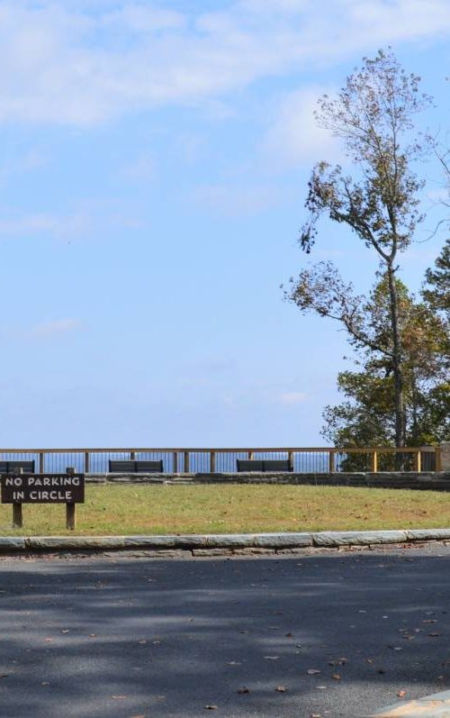
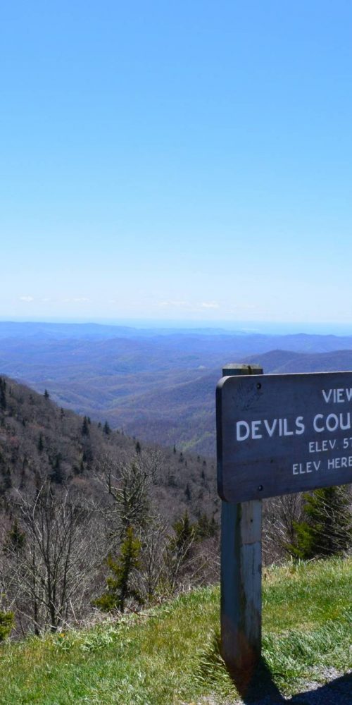 Devil’s Courthouse, Blue Ridge Parkway
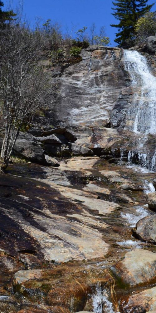 Graveyard Fields & Upper Falls, Blue Ridge Parkway
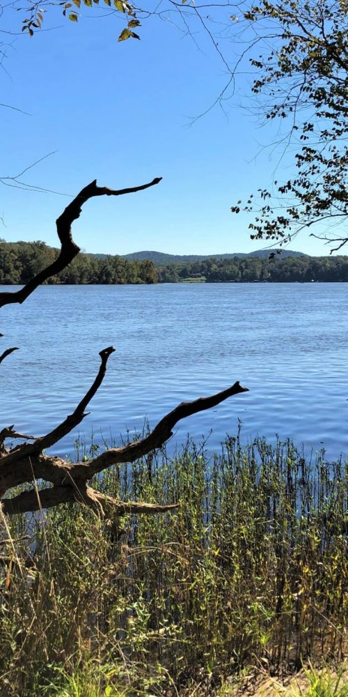
 Morrow Mountain State Park, Albemarle, N.C.
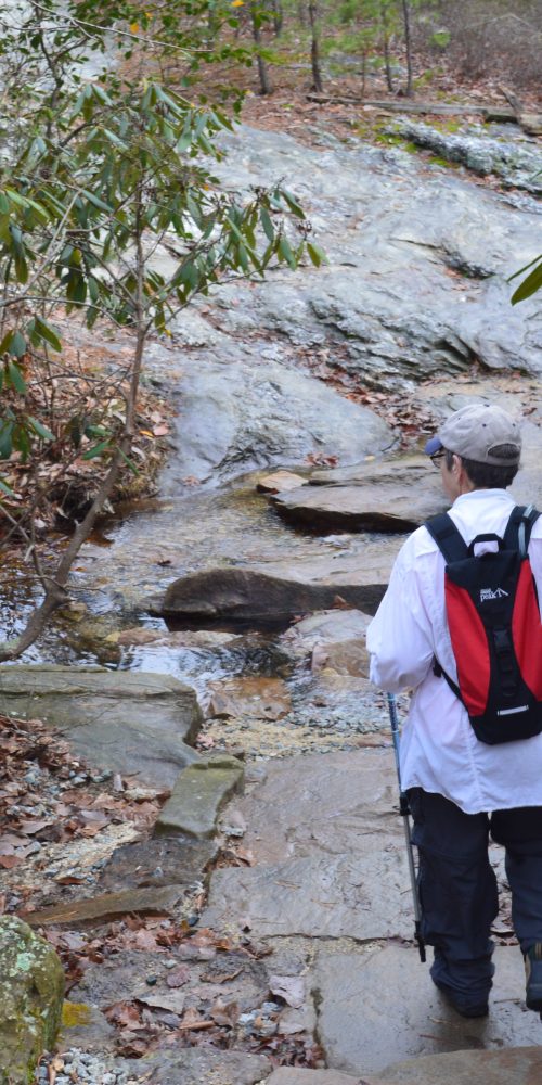
 Three Rivers Trail, Morrow Mountain State Park
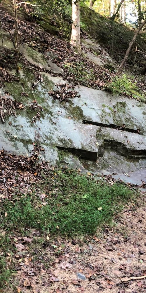 Quarry Trail, Morrow Mountain State Park
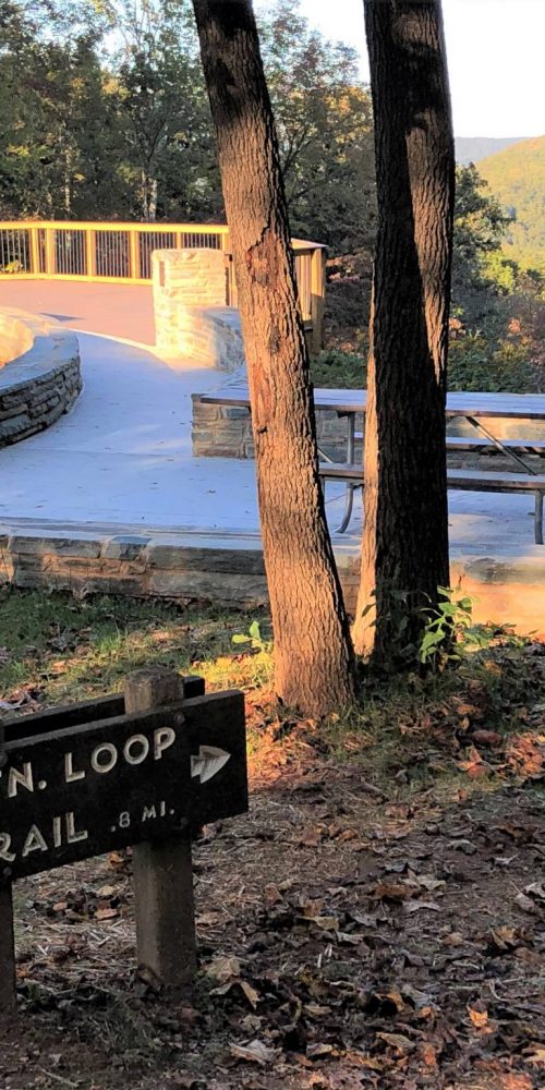
 Morrow Mountain Trail, Morrow Mountain State Park
 N.C. State Parks Leading New Year’s 2020 First Day Hikes
 Land Next to Popular Croatan Forest Nature Trail Protected