Linville Falls – Home – Parks & Forests – Camping – Hiking – Links – Adventures
Back to National Parks Back to National Forests
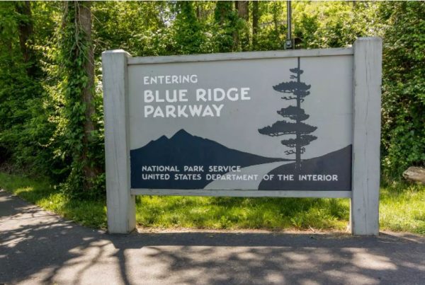
Linville Falls – Blue Ridge Parkway / Pisgah National Forest
Linville Falls is one of the most recognized and most visited points of interest in the Highlands District (Boone / Blowing Rock / Grandfather Mountain area) of the Blue Ridge Parkway.
The area has more than 3 miles of mostly easy-to-moderate trails that go to several waterfall overlooks.
Many people confuse the Blue Ridge Parkway and U.S. Forest Service entrances to the Linville Falls site.
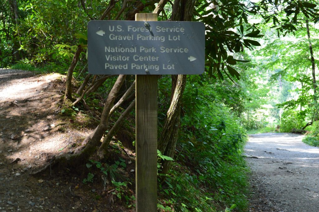
The Parkway recreation area is off of a spur road at Milepost 317 that passes the Linville Falls campground on its way to a large paved parking lot and the visitor center, below.
The Pisgah National Forest trailhead is at a small gravel parking lot on Kistler Memorial Highway (SR 1238, aka Wiseman’s View Road), a dirt road off of N.C. 183 in the Linville Falls community.
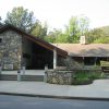
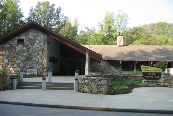
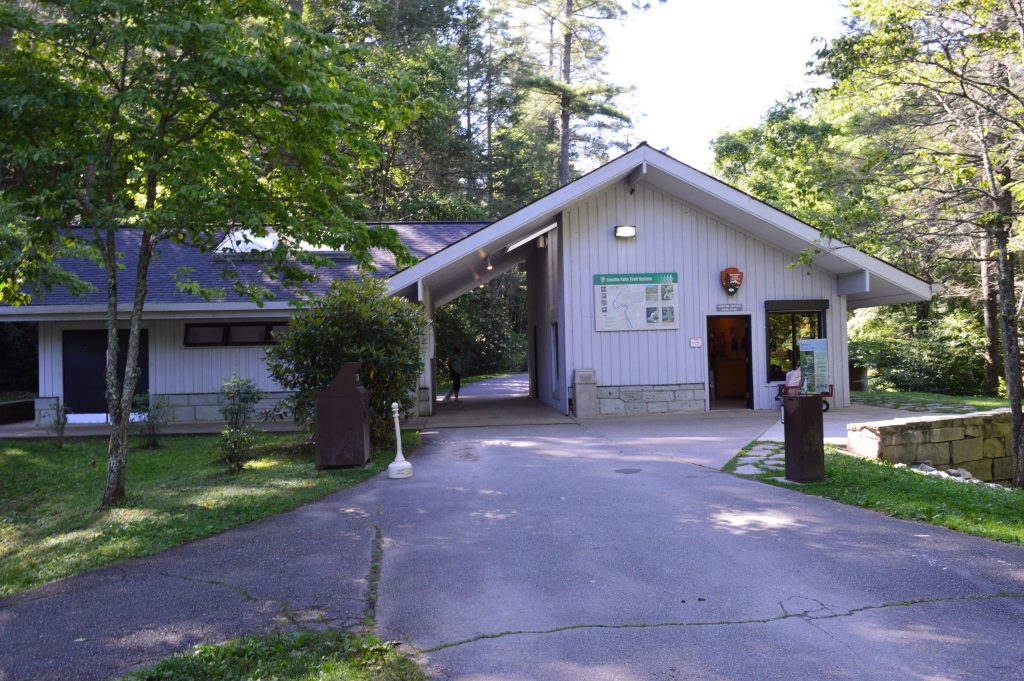
The visitor center, where all of the trails begin, has flush-toilet bathrooms and a gift shop / information center.
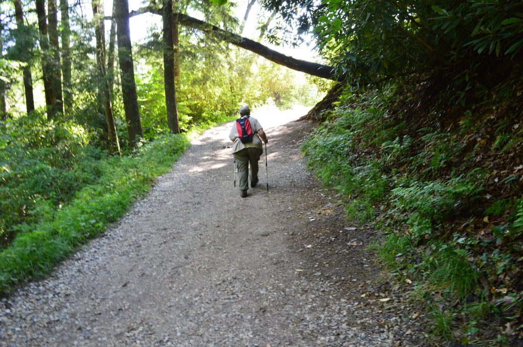
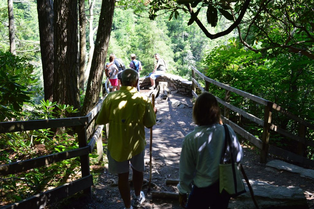
The Parkway (National Park Service) administers the area, and the USFS trail meets the trail from the visitor center about 0.3 mile in.
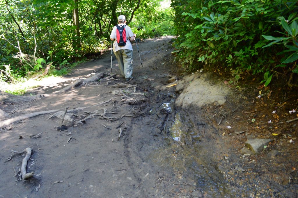
A few yards from there, the wide gravel trail splits toward multiple overlooks and becomes rougher, plagued by mud, roots and rock.
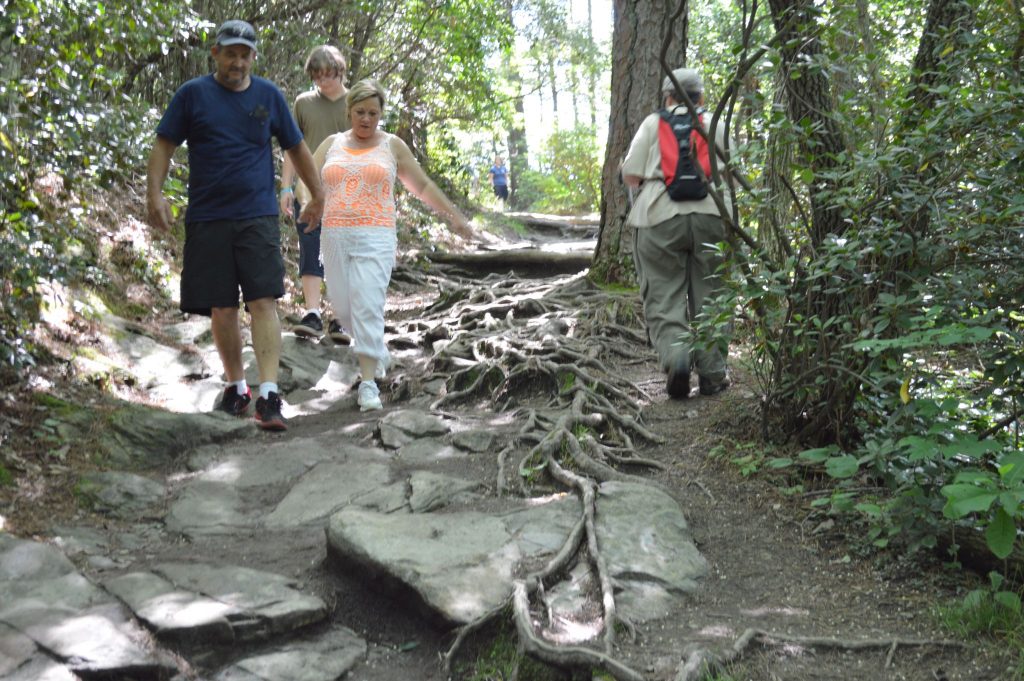
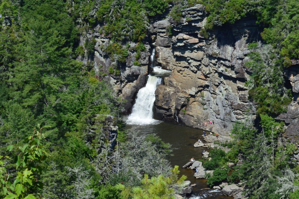
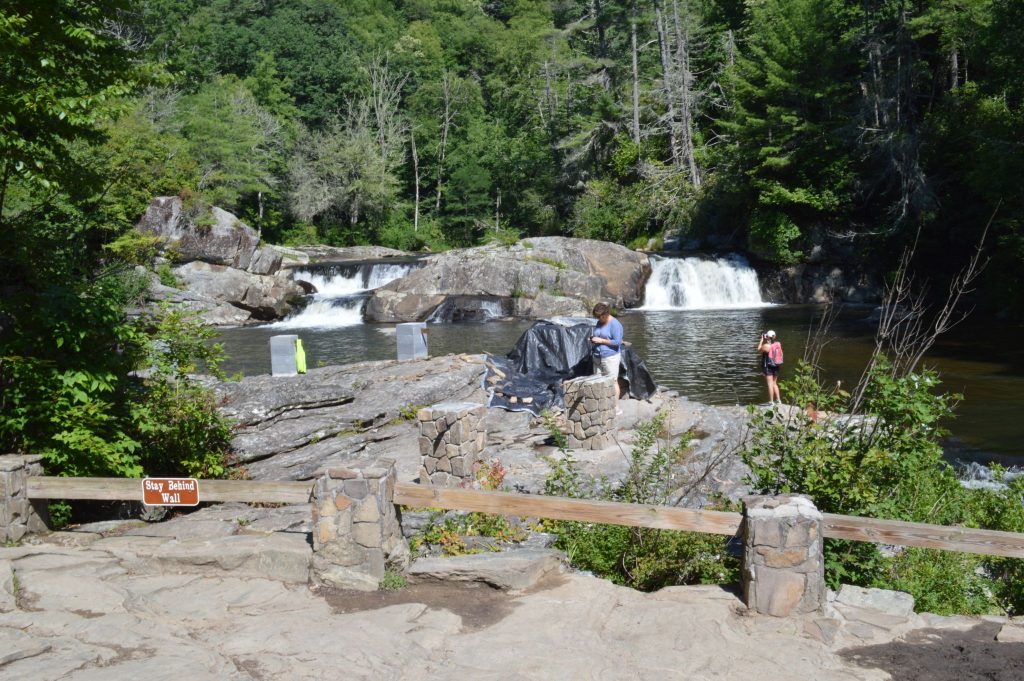
The most easily accessible, and thus crowded, overlook is at the twin upper falls, 0.5 mile from the visitor center.


The overlook sits directly on the Linville River, affording a view of the rushing waters coursing through the rock toward the lower falls, as well as the pool below the upper falls.
![]()
A project funded by the Blue Ridge Parkway Foundation to expand the overlook and add geological explanations of the Linville Falls thrust fault was underway when we were there in July 2014.
The rail fence wasn’t keeping people from getting a closer look at the falls anyway.
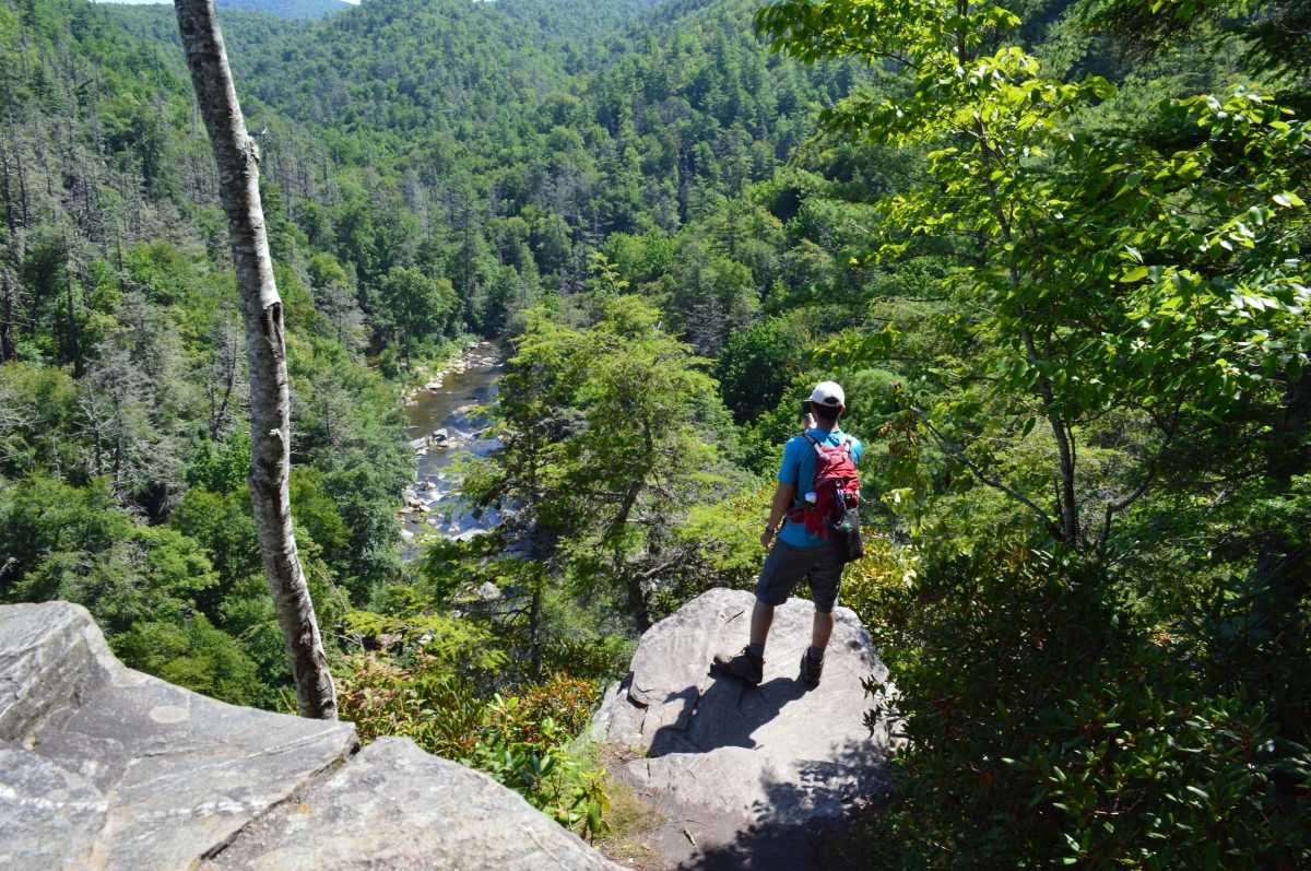
There are three additional overlooks from which you can see the lower falls and get a glimpse of the upper falls as well:
Chimney View, at 0.7 miles from the visitor center, has two hawk’s nest overlooks.

Note the upper falls and its pool visible above and to the right of the lower waterfall from Chimney View.
![]()
A rock ledge off of the northern Chimney View overlook allows you to look downstream.
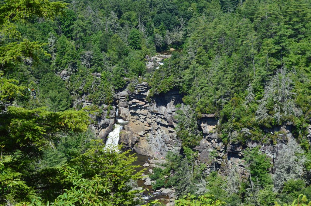
Below is the view of the falls from Erwin’s View, which is at 0.8 miles in and is accessed via two flights of wooden stairs (second photo below). The Gorge View overlook, across the trail from Erwin’s View, is oriented away from the falls over Linville Gorge.
![]()
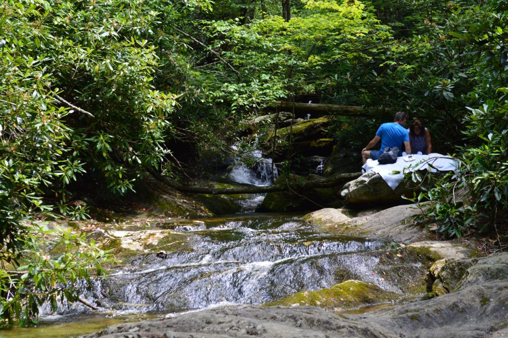
Back at the visitor center, don’t overlook the Dugger’s Creek Trail, an easy 0.03 walk that can also be accessed at several points from the parking lot and approach road. The trail crosses a bridge from which you can see a small waterfall or cross a few rocks to the creek.
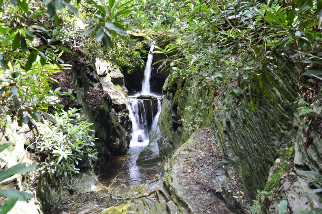
Closer to the road, a boulder on Dugger’s Creek makes a nice place to relax, and a tree on the trail has an interesting history.
![]()
After doing the Dugger’s Creek trail, we forgot to pursue the Plunge Basin Trail, a more difficult 0.07 mile trail with a spur to an overlook. So, there’s reason to go back.
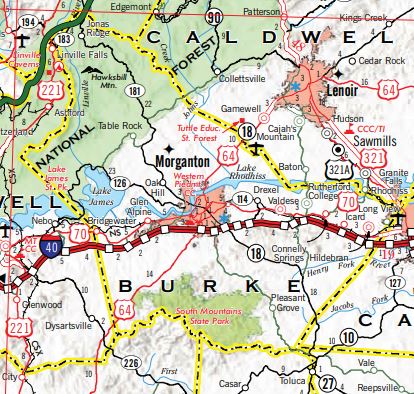
Linville Falls, which is in northwest Burke County, is most easily accessed from the Blue Ridge Parkway at Milepost 317 (where the map shows N.C. 183 going under the Parkway), as discussed above.
Return to National Parks. Return to National Forests.
Visit Our Sister Site
Carolina Music Festivals, a calendar and guide to music festivals in North Carolina.