Occoneechee Mountain State Natural Area – Home – Parks & Forests – Camping – Hiking – Links – Adventures
Occoneechee Mountain State Natural Area
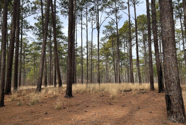
Occoneechee Mountain State Natural Area is a small park hemmed in by private property on the Eno River in Hillsborough. It features varying habitats – including oak forest, ponds, a small field, heath bluff, and river habitats – in its 190 acres. It is also home to the highest point in Orange County at 867 feet, though there’s a cell phone tower on the peak and it is county property that is technically not a part of the park.
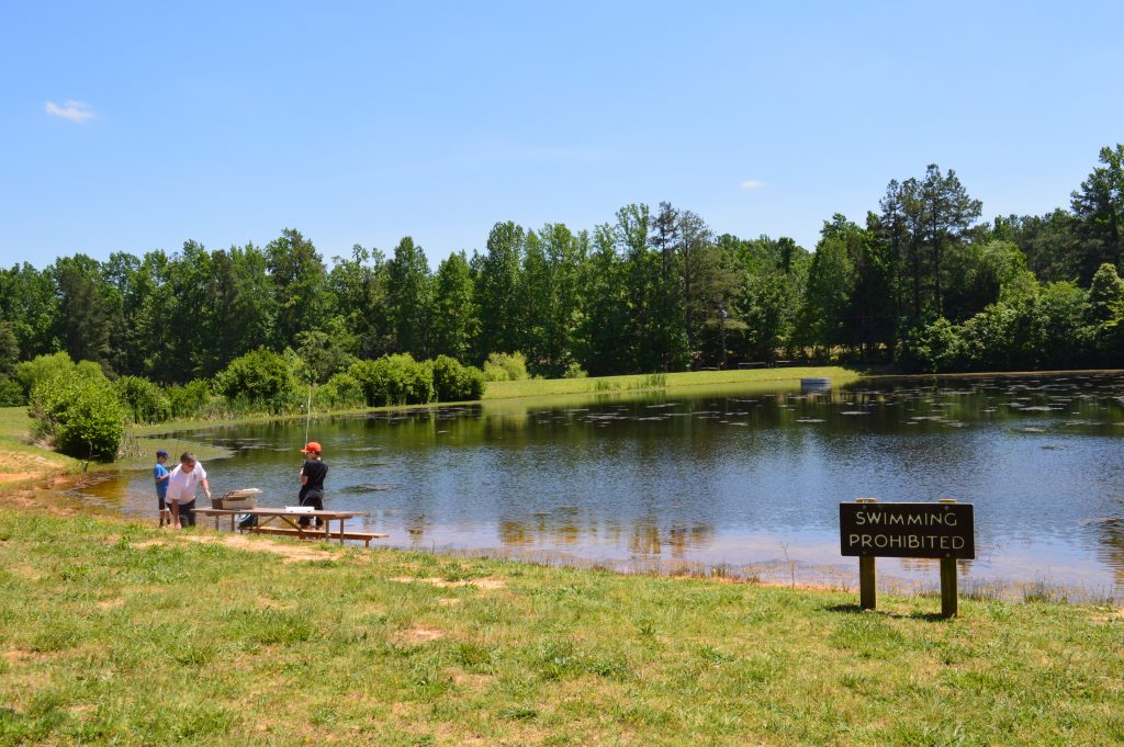
What Occoneechee does offer is a little more than three miles of trails that take hikers from the river to an overlook with several rock formations and an abandoned quarry (below) on the way, as well as a couple of fishing ponds and a few picnic tables.
In geological terms, Occoneechee Mountain is a monadnock, a mountain or area of greater elevation that has resisted erosion and stands isolated in an essentially level area, according to the ncgeology.com site.
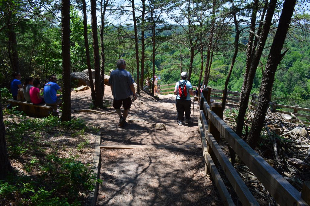
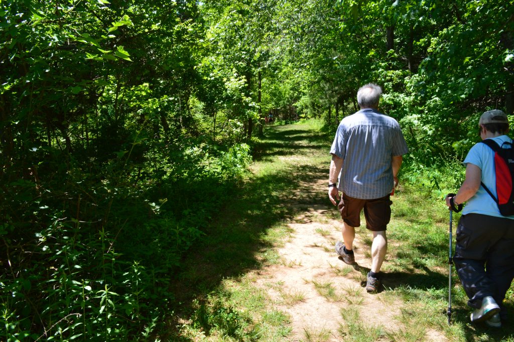
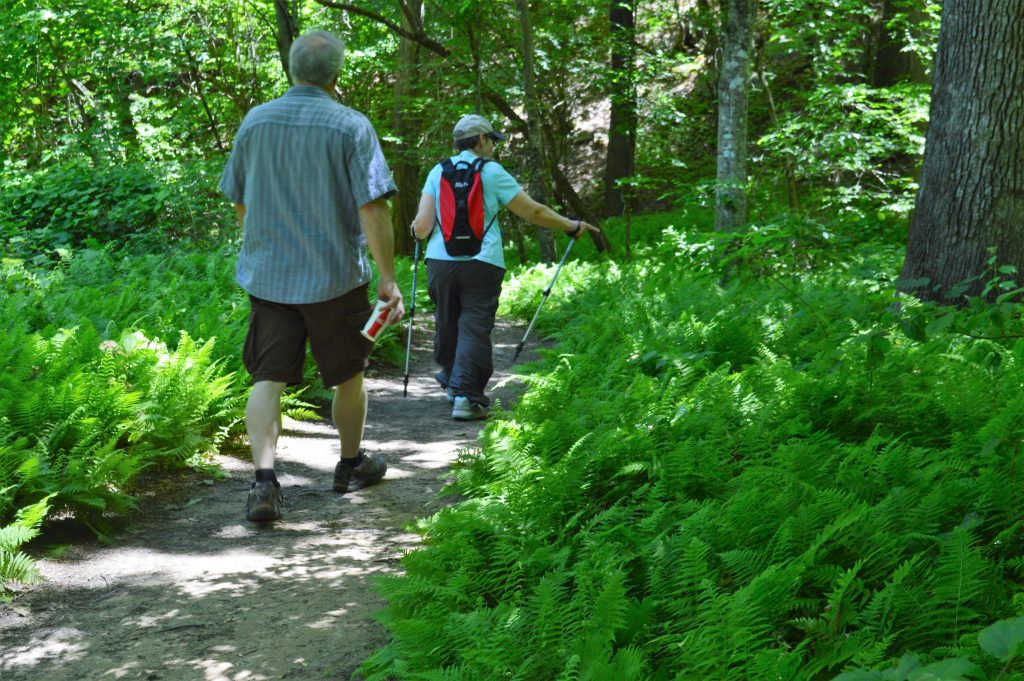
On Memorial Day 2015, we hiked the Oconeechee Mountain Loop Trail clockwise from the trailhead at the back of the parking lot to the Overlook Trail then, after checking out the overlook, took the short Brown Elfin Knob Trail cut-through back to the Loop to finish up at the other side of the parking lot. Get a park map here.
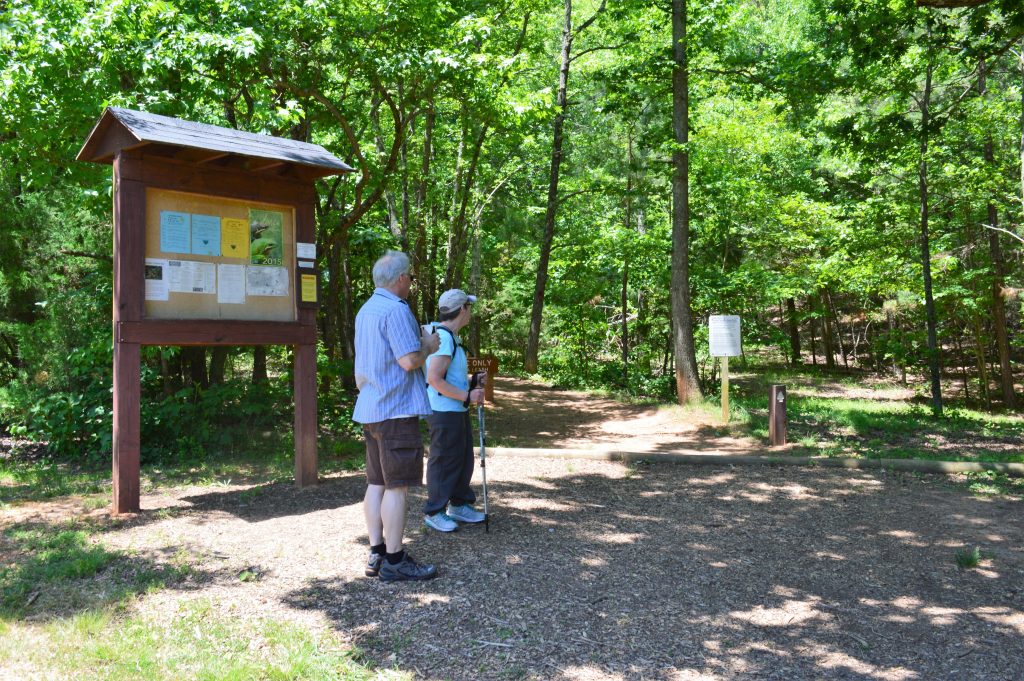
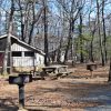
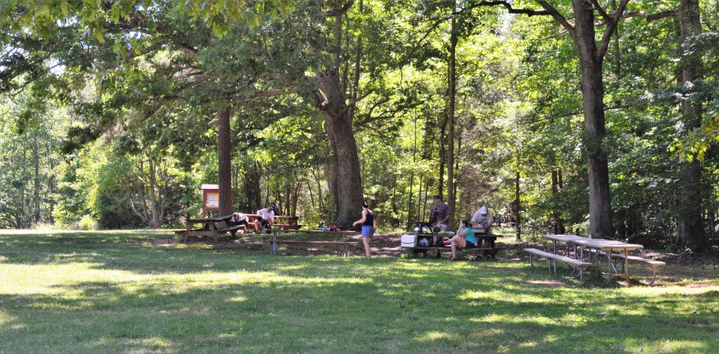
Five picnic tables sit under the trees near the trailhead and the parking lot. A pit toilet is nearby as well.
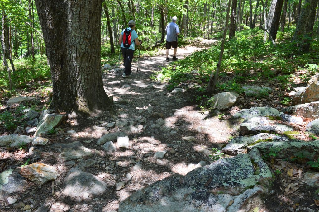
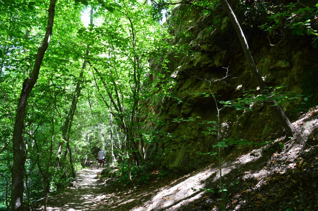
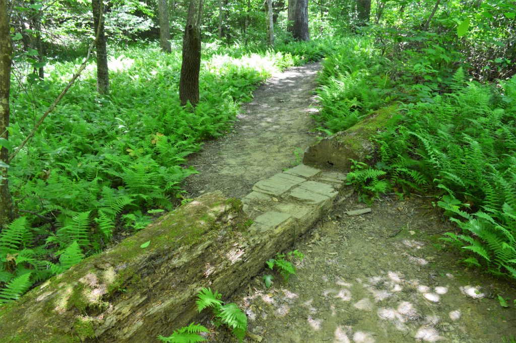
The Loop Trail heads upward with a double switchback pretty quickly and passes the first of three rock formations about half a mile in. The trail is rocky in some areas but, once up the ridge, much of the trail is flat and wide.

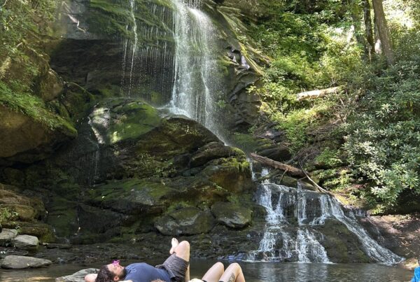
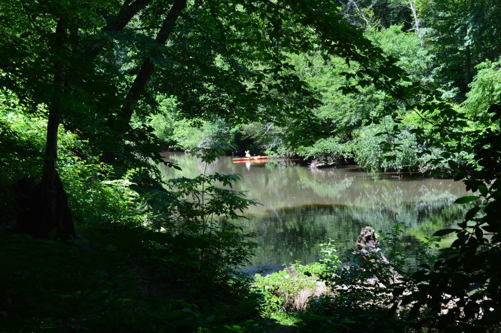
The third rock formation, which is at the river, hides a swimming hole …
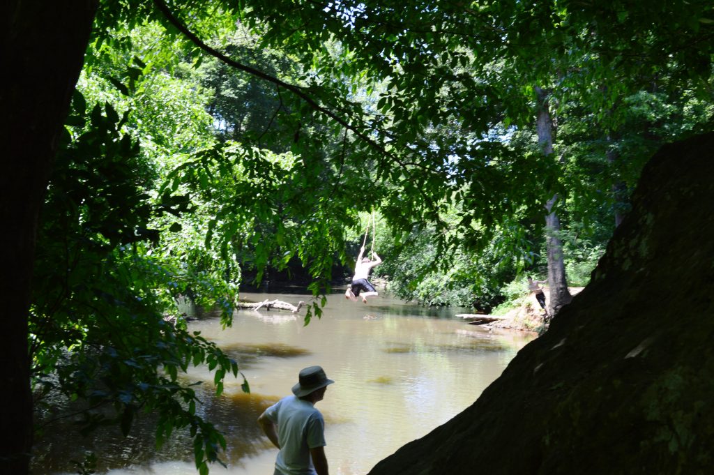
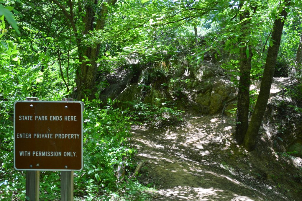
Which, it turns out is on private property outside park boundaries. We also found at this point that signs on the Loop Trail are oriented to those walking the trail counter-clockwise. There are several notices of private property on the outer edges of the park.
We spotted a kayaker fishing just a little ways upstream from the swimmers.
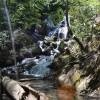
A rock bluff sits alongside a portion of the river about 1.7 miles in from the trailhead. The cliff on the other side of the trail is steep down toward the river, as well, for a few dozen yards.
Heading back up from the river …
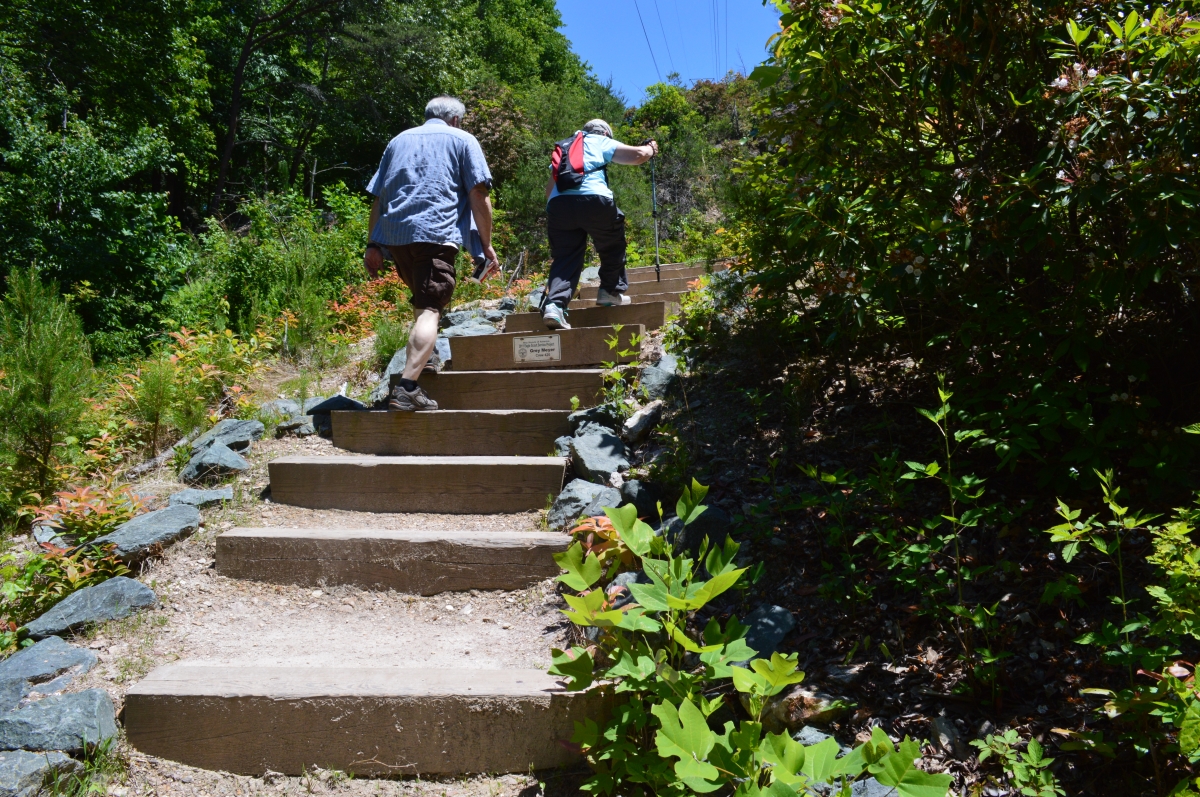
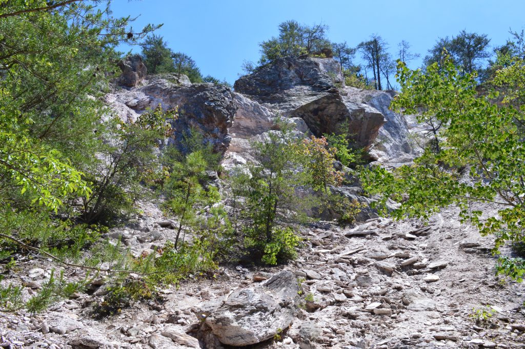
… brings you to a 100-foot cutoff from the Loop Trail that leads to the abandoned quarry.
![]()
According to ncgeology.com, the quarry dates to before the Civil War and was abandoned about 1908. Rock in the quarry is composed of sericite, quartz and pyrophyllite, and was used as fill material during construction of nearby railroad tracks and for general fill material in the Hillsborough area.
The boulders and gravel in the section of the quarry below fell in a rockslide in February 2001. The main movement is estimated to have displaced about 2,500 cubic yards of rock weighing nearly 5,100 tons from a space on the quarry wall about 100 feet wide, according to a geological assessment of the rockslide.
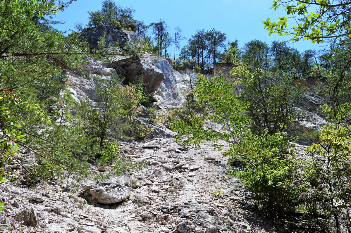
Geologists concluded that the slide was mainly caused by freeze-thaw cycles in already-cracked rock on the slope, which was cut too steeply during excavation. They add that, “Slope movements along the quarry walls will continue to occur. Some movements will involve the slow, gravitational movement of rock and debris. Other movements, such as rockslides, rock fall and debris slides will be rapid … . Rapid slope movements can occur with little or no warning (and) pose a threat to public safety, both for people on the quarry rim and those within the quarry.”
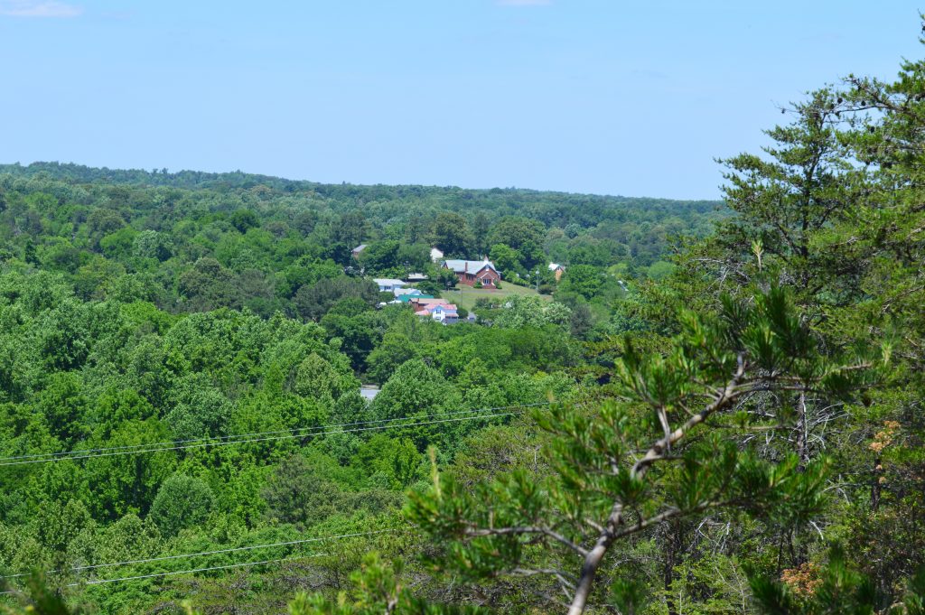
The overlook, reached by the Overlook Trail off of the Loop, looks about above the quarry and the Eno River, visible through the trees to the left and just right of center in the second photo below.
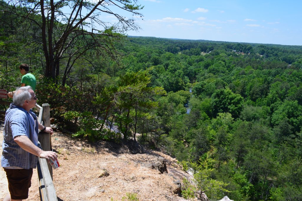
Westhill Baptist Church, which is on Jones Street in Hillsborough, is visible to the right. Looking closely through the trees on the right of the overlook, we could make out the cross on First Community Baptist, as well.
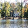
The final leg of the Loop Trail is grassy and flat, and takes you by a lawn that leads to the larger fishing pond before getting back to the parking lot.
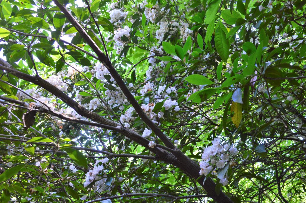
There a several stands of rhododendron along the trail, which is unusual for this part of the state. (We missed the “mid-spring” peak blooming period.)
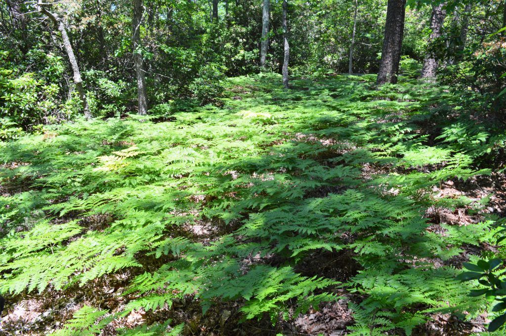
Here are a few of the pretty fern patches along the Loop Trail and the Brown Elfin Knob Trail.
From Interstate 85 at Hilllsborough, take Churton Street north just a couple of blocks to Mayo Street on the right. From Mayo, take a left onto Orange Grove Road and then a right onto Virginia Cates Road, then find the park entrance after passing the two fishing ponds. There are multiple signs for the park along roads leading to it in Hillsborough.
Return to State Parks.
Visit Our Sister Site
Carolina Music Festivals, a calendar and guide to music festivals in North Carolina.