Morrow Mountain State Park – Home – Parks & Forests – Camping – Hiking – Links – Adventures
Morrow Mountain Trail, Morrow Mountain State Park
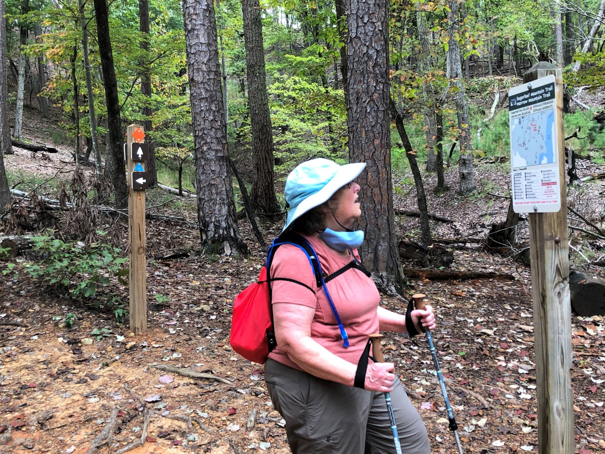
The Morrow Mountain Trail (blue triangle blaze) starts in the parking lot of the Morrow Mountain State Park’s natural history museum, and is combined there with the Backpack Trail (white circle) and, after several yards, the Laurel Trail (orange hexagon), which circles the park’s vacation cabins. Later, the 2.6-mile Morrow Mountain Trail (one way) joins the Sugarloaf Mountain Trail (orange diamond), which begins at a small parking lot near the park entrance. Accessing Morrow Mountain from the Sugarloaf Mountain Trail cuts about a quarter-mile off of the hike.
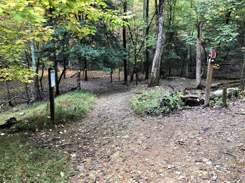
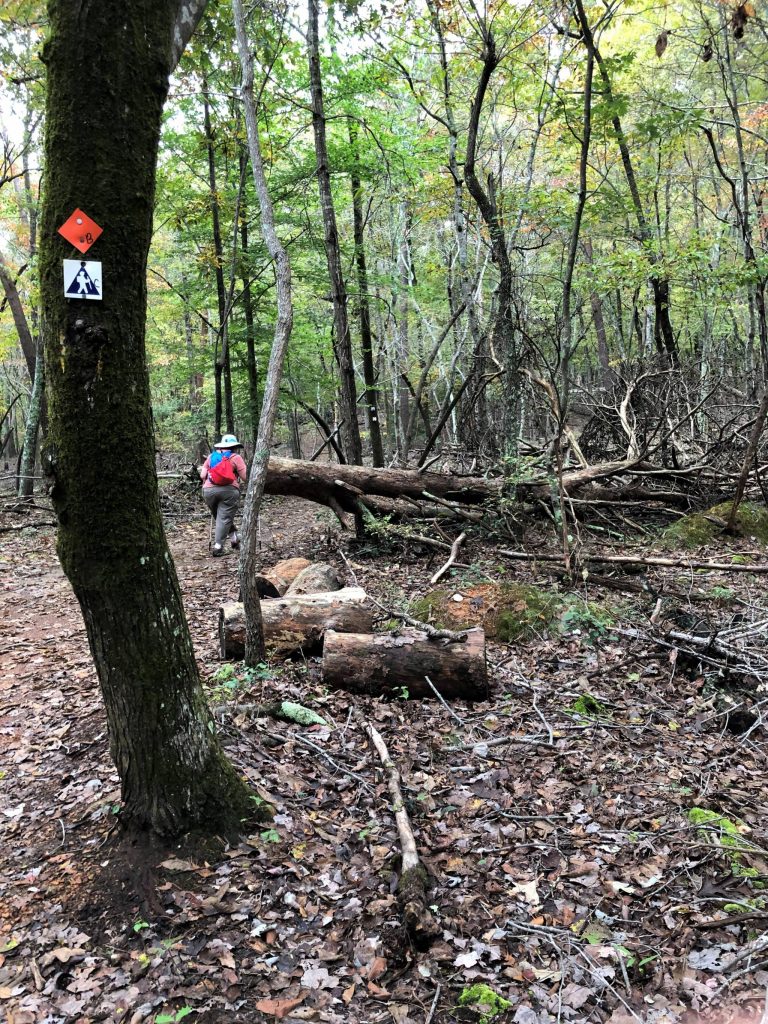
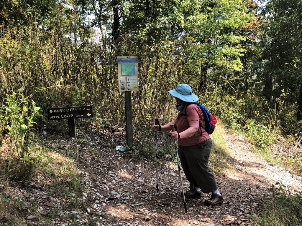
The trail is for the most part well-blazed and has signs like the one below at intersections.

Though the Morrow Mountain Trail is rated moderate, it concludes with a long straight climb over gravel-strewn terrain that makes it more challenging than most moderate trails. Its payoff is the recreation area at the peak of Morrow Mountain (elev. 936 feet), which has observation decks, a picnic grounds and restrooms. The trail joins the 0.8-mile Mountain Loop Trail, which circles the summit, and the rec area parking lot.
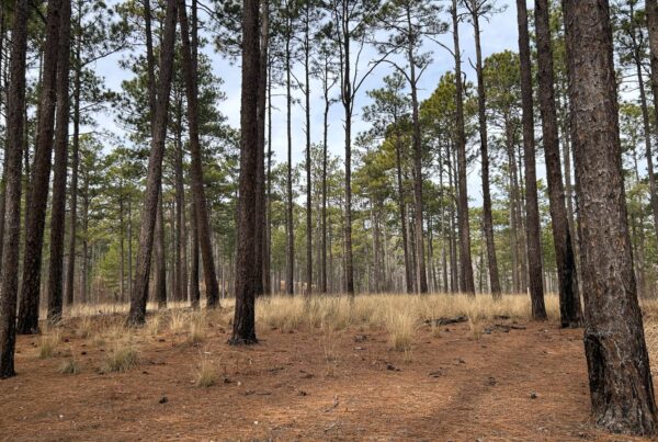
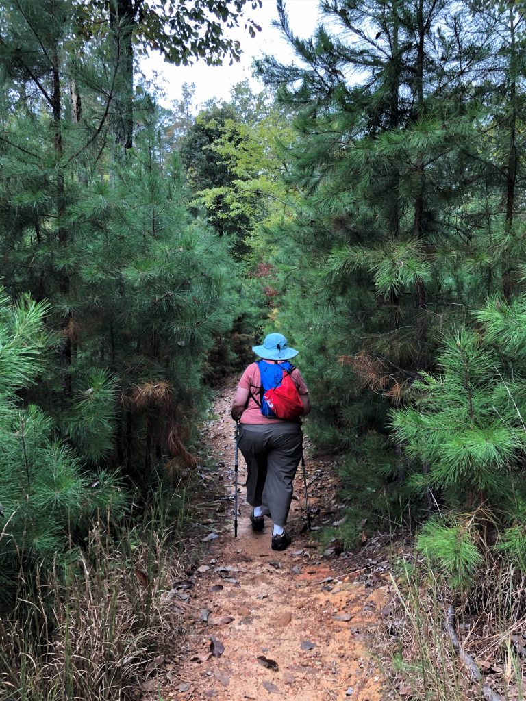
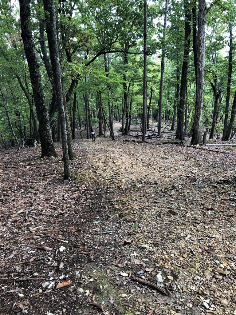
The first portion of the trail is an easy walk through hardwoods, pines and the occasional copse of laurel. Below, the Laurel Trail splits off to the right.
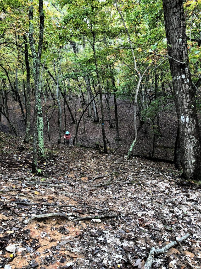
Soon afterward, the trek upward begins.
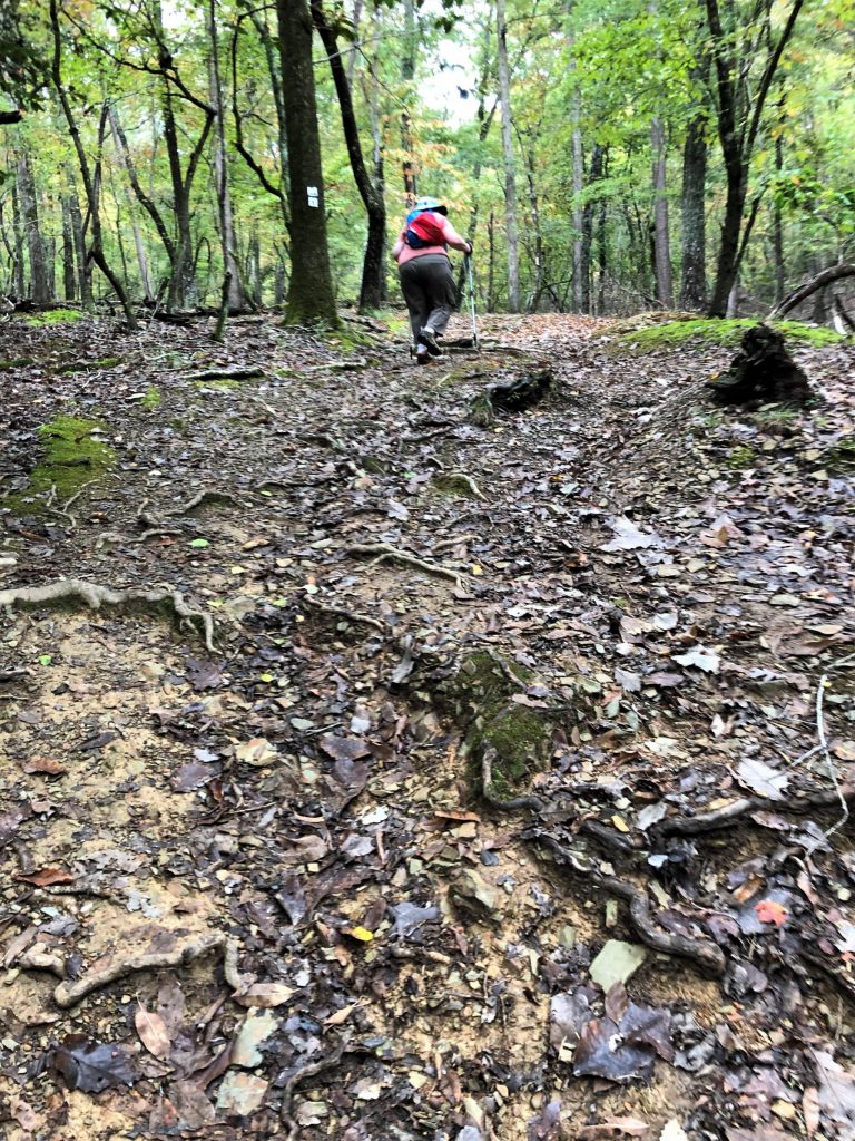
The trail cuts through a clump of small pine trees.
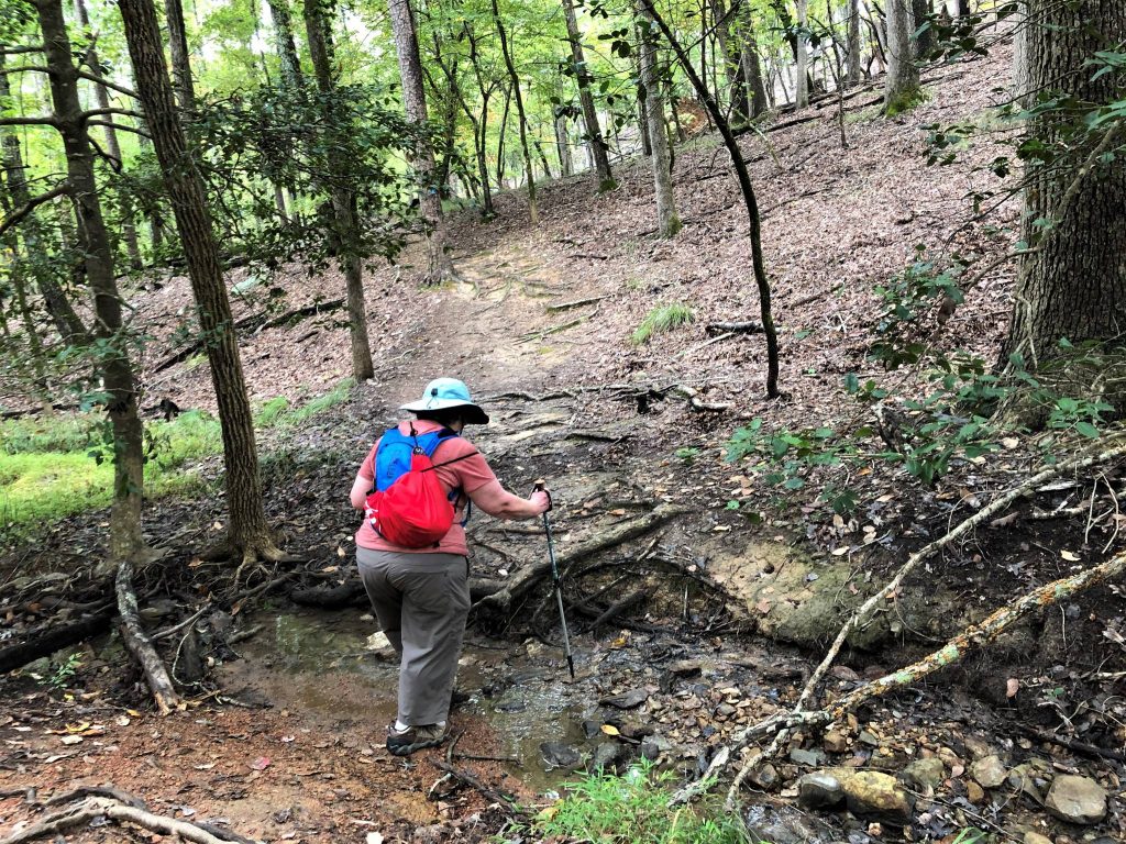
Primarily, the hike consists of negotiating a series of ups and downs …
… and small stream crossings.
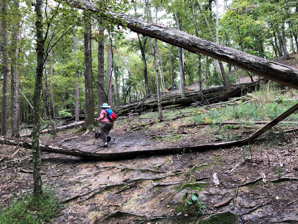
Another issue you’ll encounter on these trails and throughout Morrow Mountain State Park is wreckage of downed trees due to multiple storms in North Carolina’s Piedmont.
The final approach to the top is straight up a ridge too narrow to accommodate a switchback.
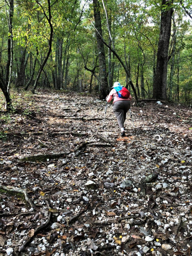
To add to the challenge, much of the ground is littered with shards of rhyolite, which is said to be the remnants of ancient outcroppings reduced to rubble by Native Americans who quarried the stone for tools. Today it makes for an annoying and potentially slippery ground cover.
Finally, with the road to the summit in sight above through the trees, the trail turns to cut along the side of the ridge for 100 yards or so before the junction below. Here you can step over a brick wall into the parking lot or continue around the summit on the Mountain Loop Trail, which provides additional points of access to the recreation area.
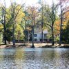
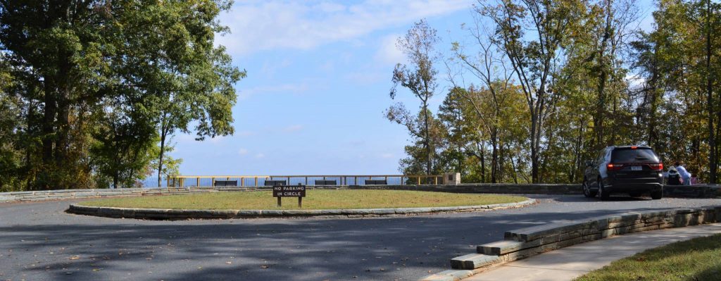
The road / parking lot ends in a circle at an overlook above Lake Tillery, the Pee Dee River and portions of the Uwharrie National Forest.
See more about the Morrow Mountain mountaintop observation decks and picnic grounds on our primary Morrow Mountain State Park page. It also has information about:
- Riverfront and other points of interest for a quick visit
- Three popular hiking trails
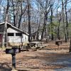
- Camping and vacation cabins
Morrow Mountain State Park is in Stanly County, six miles east of Albemarle, off of N.C. 24/27 or N.C. 740 south of Badin.
Return to State Parks.
Visit Our Sister Site
Carolina Music Festivals, a calendar and guide to music festivals in North Carolina.