Hanging Rock State Park – Home – Parks & Forests – Camping – Hiking – Links – Adventures
Moore’s Wall Loop Trail, Hanging Rock State Park
Moore’s Knob, with an elevation of 2,579 feet and a prominence (height above surrounding peaks) of 1,440 feet, is the highest point in the Sauratown Mountains range. The peak is accessed from the Moore’s Wall Loop Trail in Hanging Rock State Park, which is 4.7 miles long and includes a spur to the peak. The eastern side of the loop, hiking up from the lake, is about a 2-mile trip one-way.
- If you missed it, see our main page about Hanging Rock State Park.
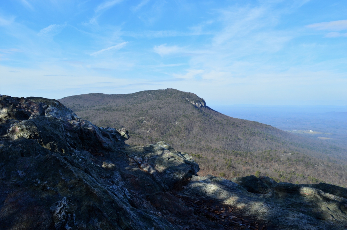
Moore’s Knob seen from atop Hanging Rock:
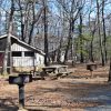
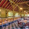
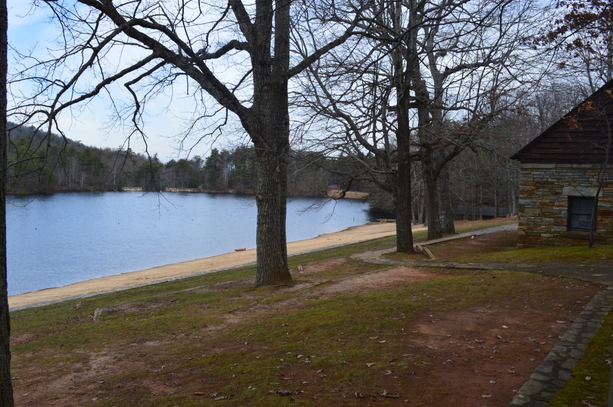
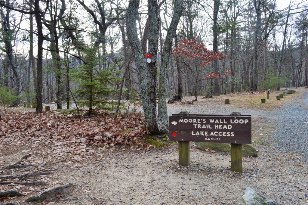
We hiked the eastern leg of the Moore’s Wall Loop Trail to the peak, which features an observation tower and a broad ledge, on an unseasonably warm Sunday in December 2015. The main trailhead is behind the beach pavilion (pictured) at the park’s lake.
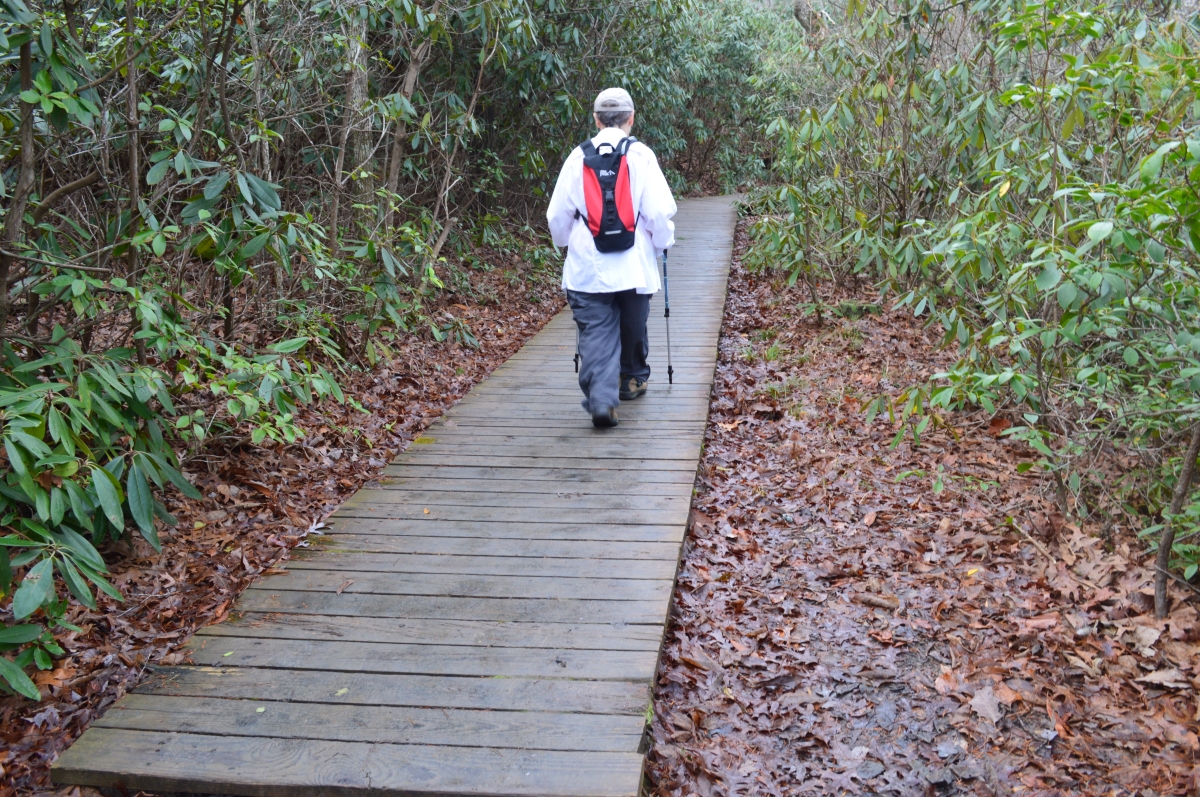
The first half-mile of the trail runs along half of the lake, where it is flat and sometimes muddy, and includes a couple of boardwalks, which are very slippery when wet.
The western leg of the loop turns left just after you turn away from the lake. It takes hikers to Huckleberry Ridge and the trail to Tory’s Den, as well as the Moore’s Knob peak. (The 2.7-mile Tory’s Den Trail also goes to the Moore’s Wall climbing access, though it is easier to drive to it.)
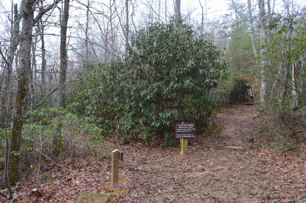
The eastern leg of the Moore’s Wall trail can also be accessed where it cuts through the campground, after climbing up from the lake (below). Another 0.1 mile or so along the way (second photo below), the trail crosses the road between the campground and cabins, and can be picked up at a marked trailhead there.
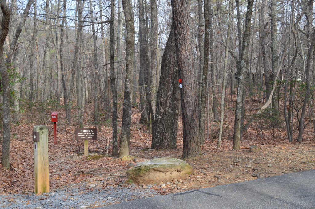
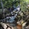
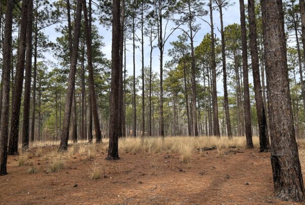
After looping around the back end of the campground, the trail descends slightly to Cascade Creek, where large stones make it easy to ford.
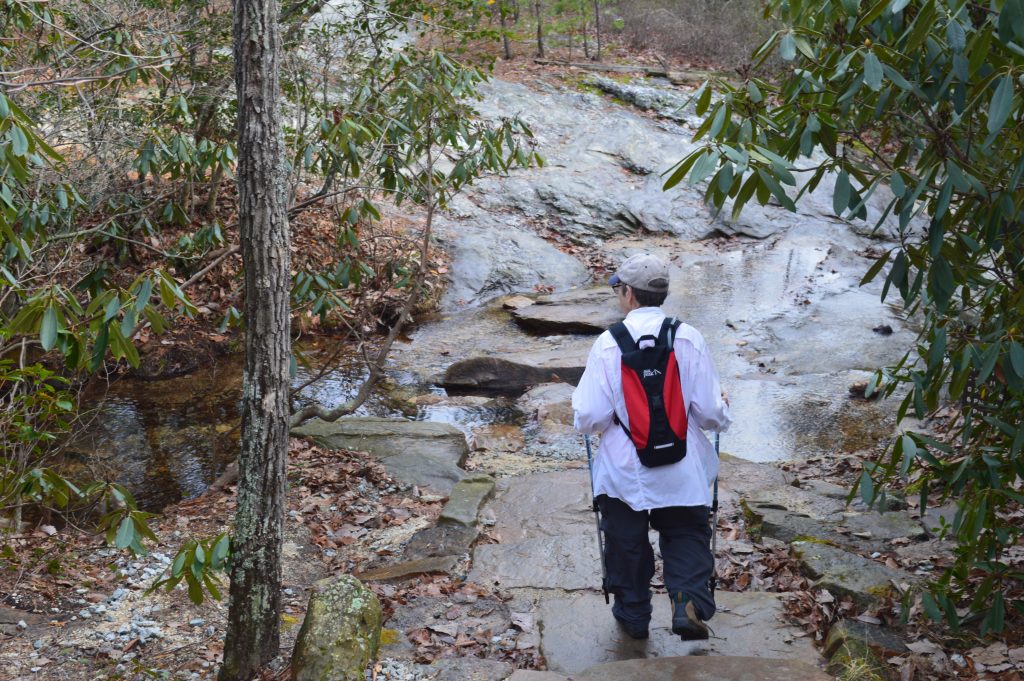
After you cross the creek, the real hike begins.
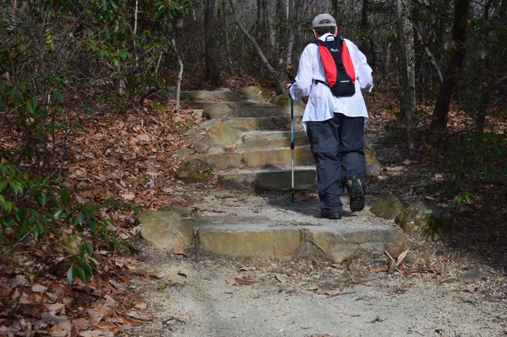
This side of the Moore’s Wall Loop Trail is, for the most part, a series of stone stairways.
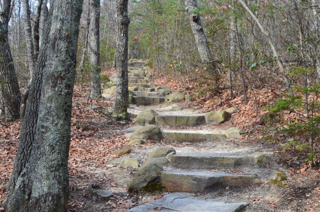
The tonnage of stone hauled up the mountainside to build the steps is impressive, actually. But this is not a nice hike. It is a climb up steps.
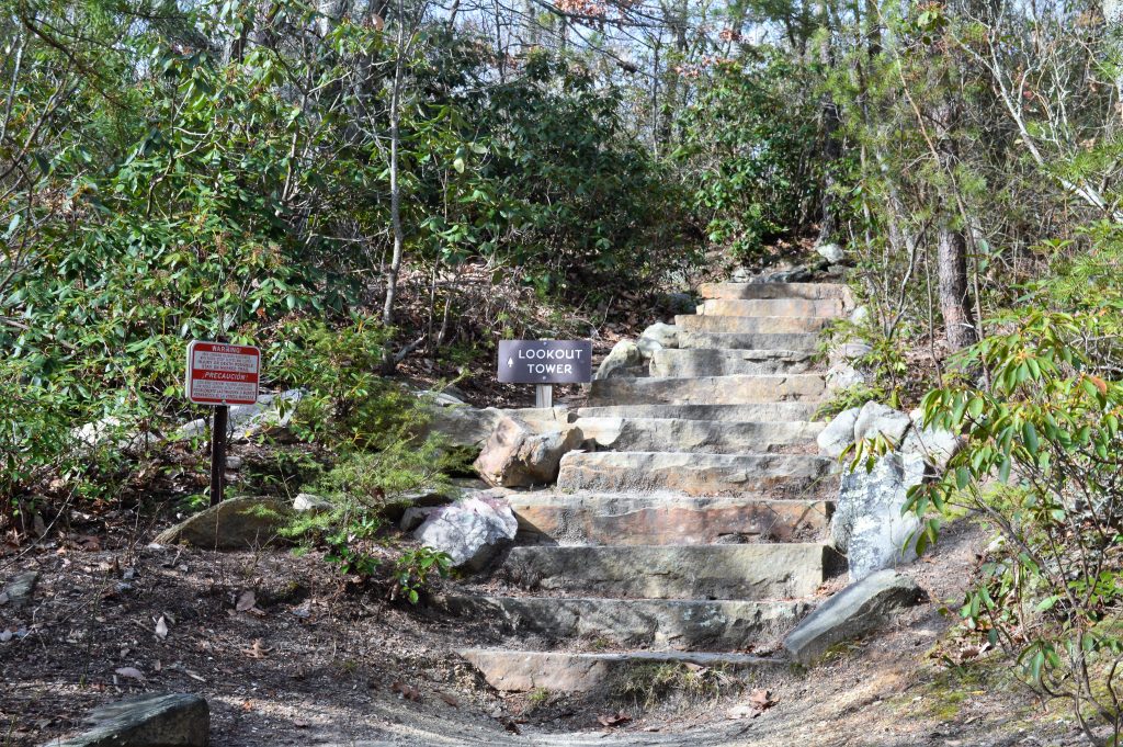
However, the hike does have a pretty good payoff.
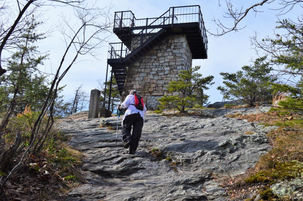
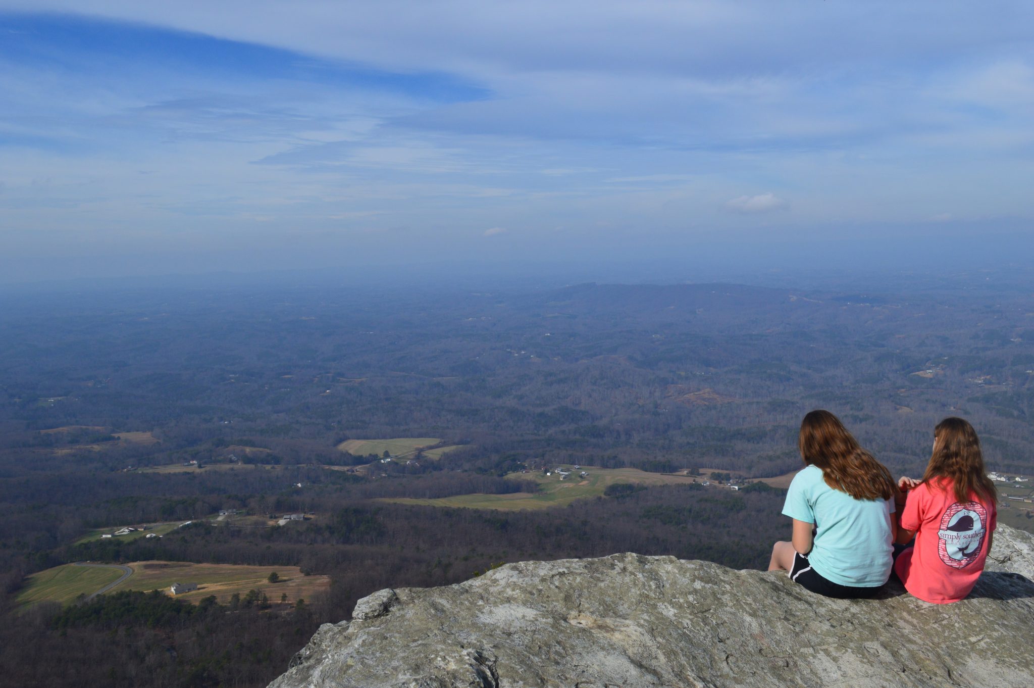
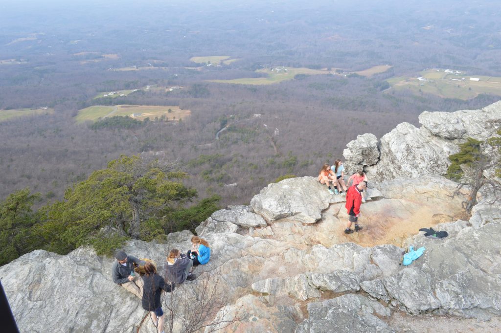
The peak of Moore’s Knob has a large cliff face, part of which is seen here from the deck of the observation tower, and miles and miles of views.
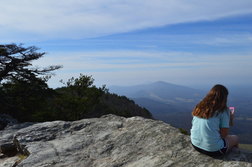
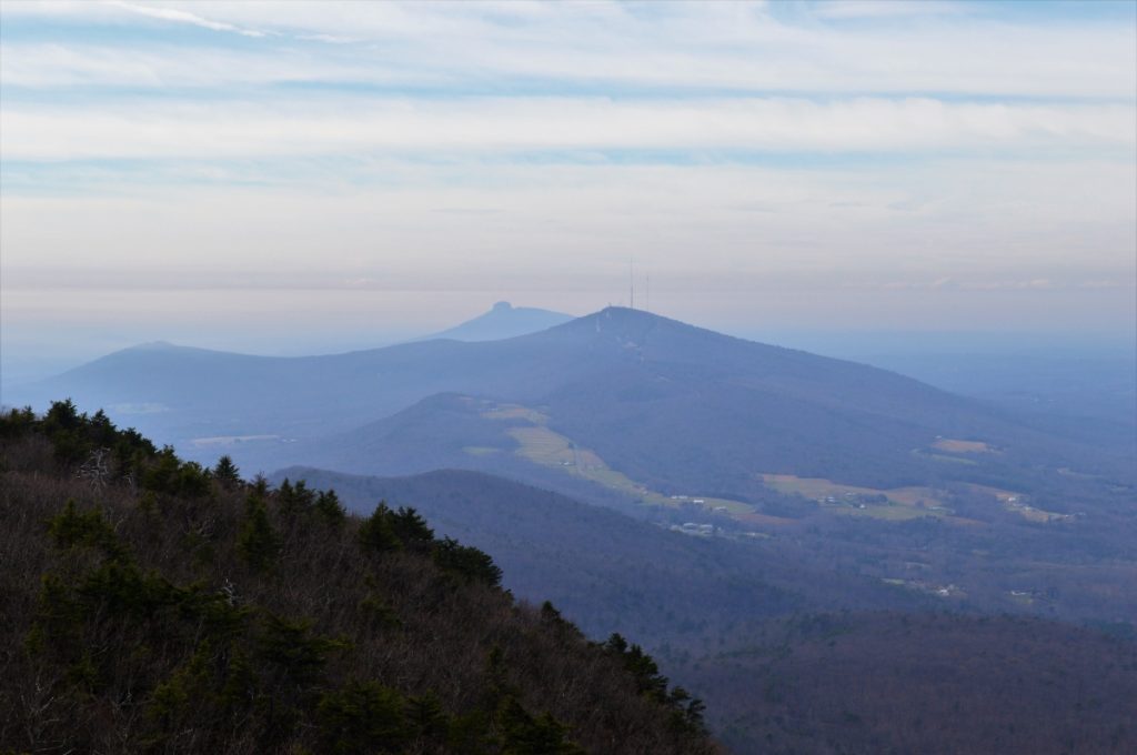
To the west, the iconic shape of Pilot Mountain in Pilot Mountain State Park can be seen some 16 miles away.
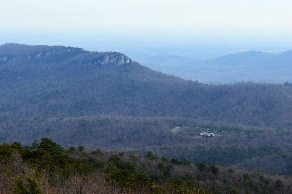
To the east, Hanging Rock and below it the park visitor center:
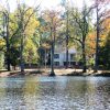
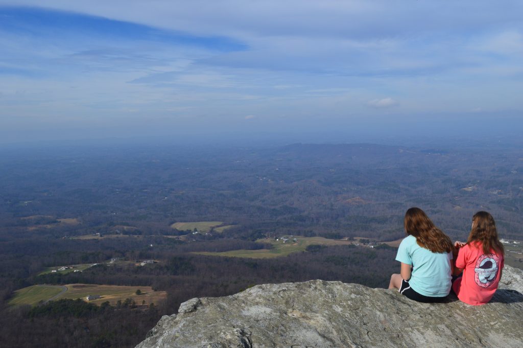
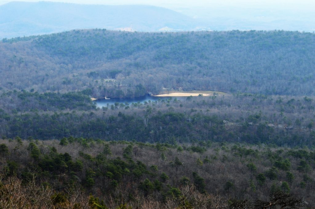
To the southeast, where our hike began: the park’s lake, beach and pavilion.
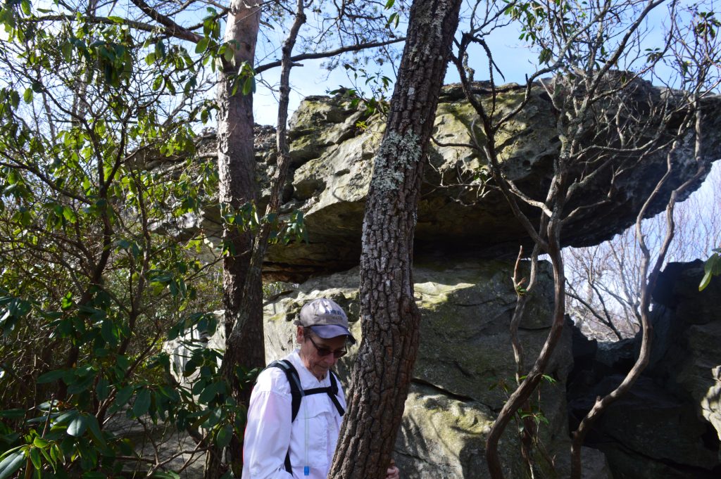
Balancing Rock is a few yards off of the main trail near the peak of Moore’s Knob.
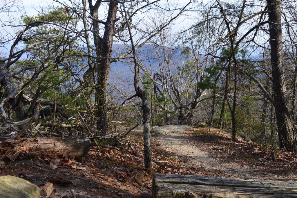
A spur just down from the peak offers a bit of a view of Hanging Rock.
Otherwise, it’s just back down the steps …
![]()
Be sure to see our other pages about Hanging Rock State Park, including a look at the much nicer Hanging Rock Trail Hike, and the park’s waterfalls:
Hanging Rock is in Danbury, north of Winston-Salem in Stokes County off of N.C. 66 and N.C. 8 / 89.
Return to State Parks.
Visit Our Sister Site
Carolina Music Festivals, a calendar and guide to music festivals in North Carolina.