Jockey’s Ridge State Park – Home – Parks & Forests – Camping – Hiking – Links – Adventures
Jockey’s Ridge State Park
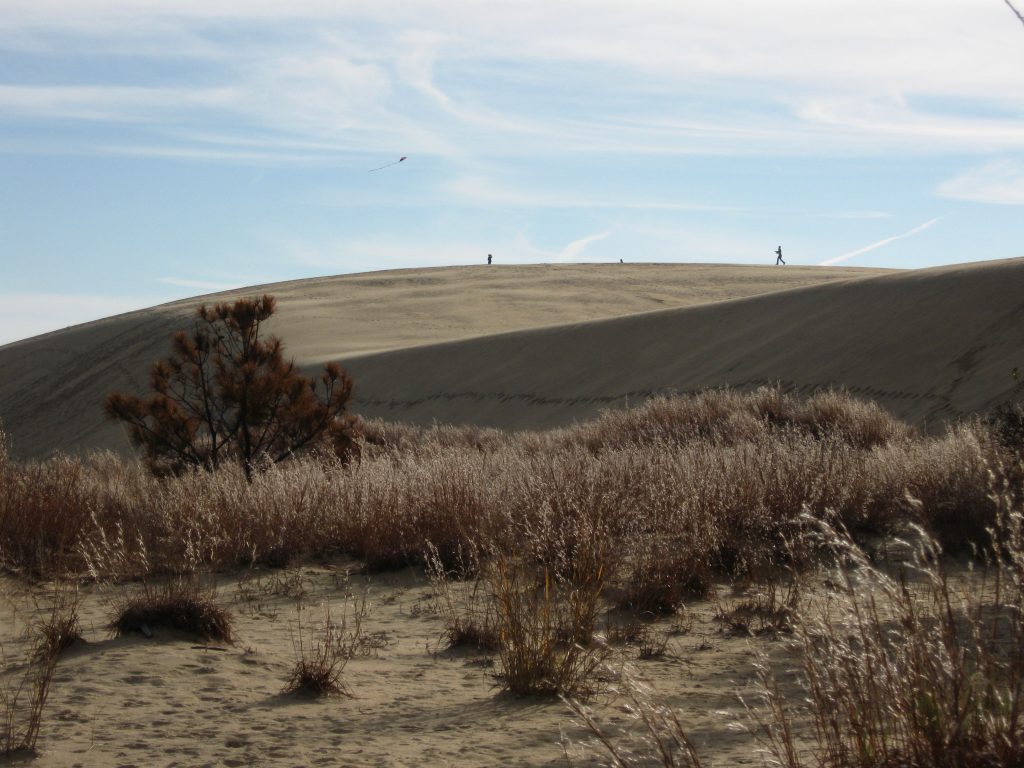
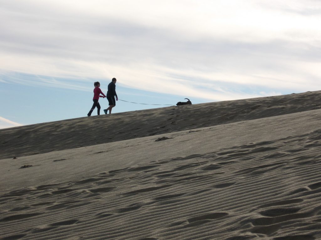
Jockey’s Ridge, the tallest sand dune on the East Coast, is the centerpiece attraction of the state park that bears its name, but it would be a mistake to overlook the rest of this coastal playground.
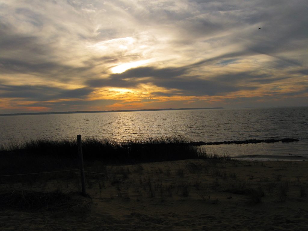
There are actually five ridges among the park’s 420 acres between the highway and Roanoke Sound. The sound can be reached from a second entrance to the park and the one-mile Soundside Trail or the 1.5-mile Tracks in the Sand Trail, which starts next to the visitors center at the park’s main entrance parking lot. (We have more about Tracks in the Sand below.)
The dunes here, like other sand dunes, shift with the wind, so Jockey’s Ridge can rise 80 to 100 feet. Now and then the shifting sands uncover the remnants of a miniature golf sand castle buried long ago.
And while much of the park is open sand, American beachgrass and a few trees grow here and there around the dunes, and various species of trees and shrubs grow in protected areas near the visitor center and along the sound.
Still, climbing the big dune is the main attraction …
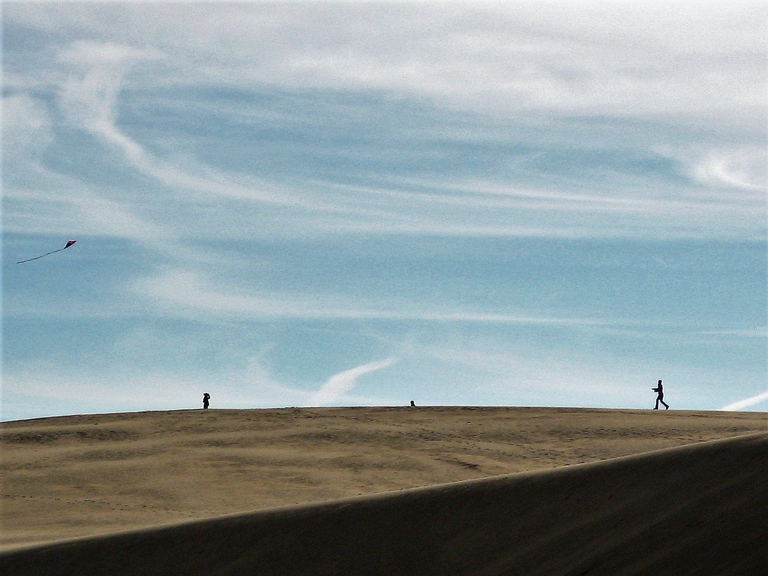
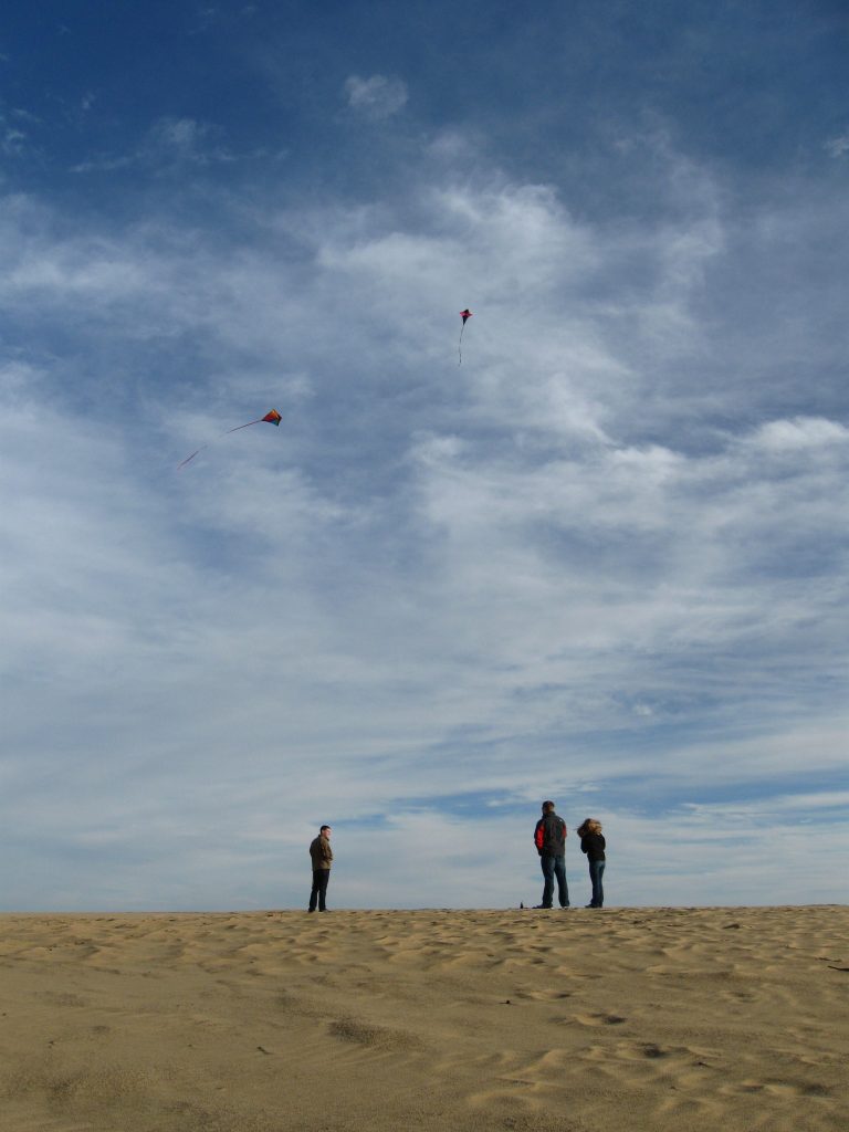
Wide open sands and an ocean breeze make Jockey’s Ridge perfect for flying kites.
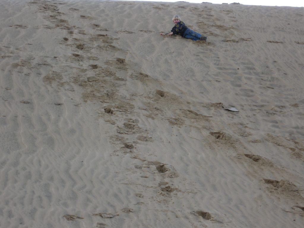
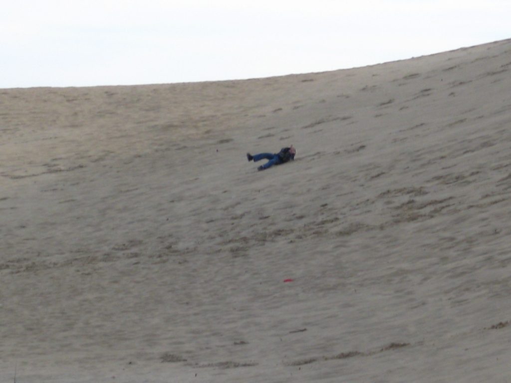
For little kids, coming back down the hill may be part of the fun, too …
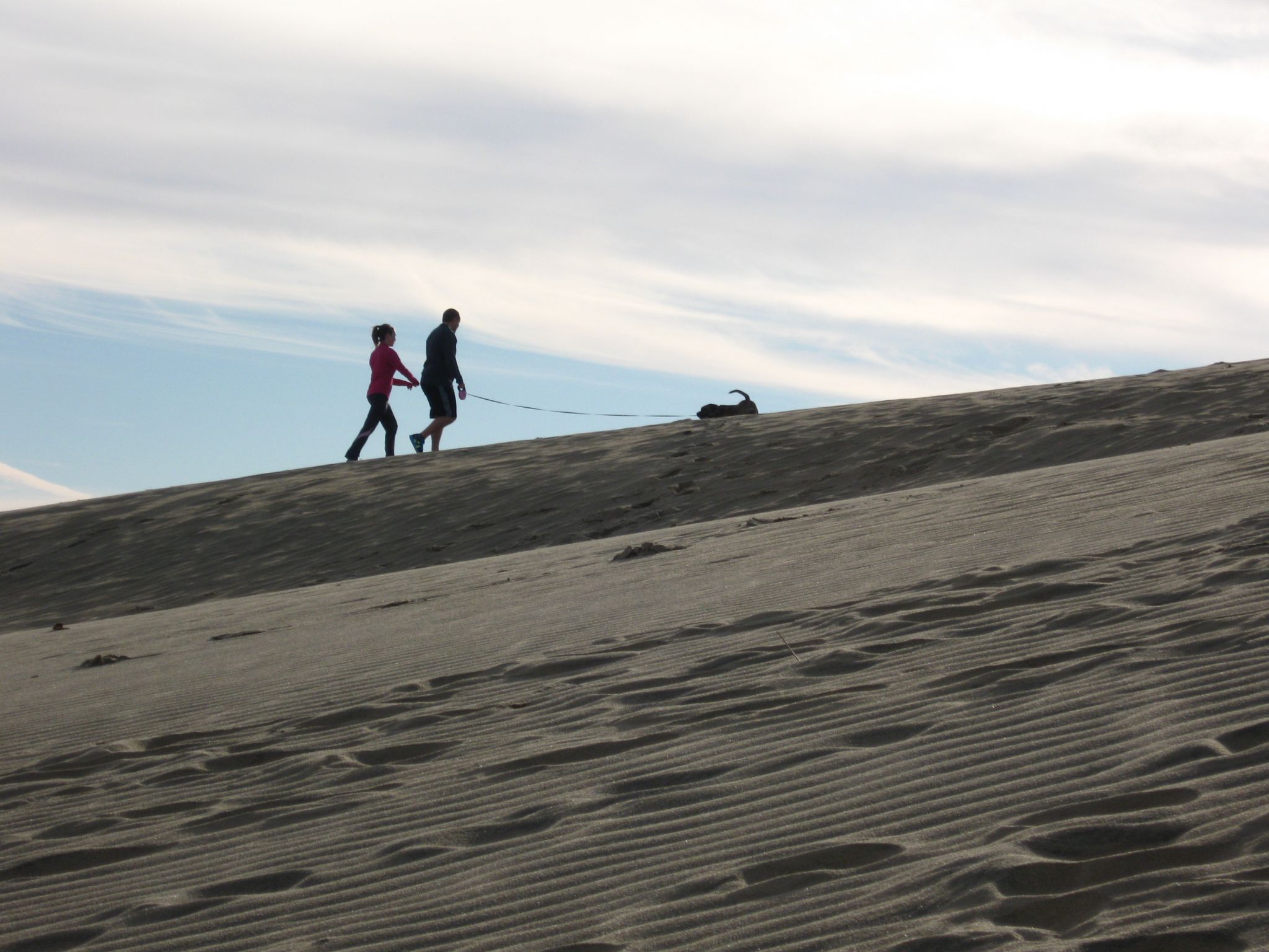
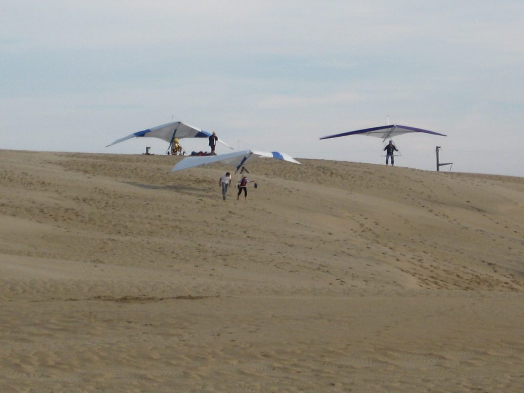
The dunes, year-round winds that often blow up to 10-15 miles per hour, and the wide open spaces among the dunes make Jockey’s Ridge a great spot for hang gliding, too.
If you’re not with the local hang gliding school that makes its home at the park, you need a USHGA Hang 1 or other agency-approved rating card to hang glide at Jockey’s Ridge and must register with the park office.
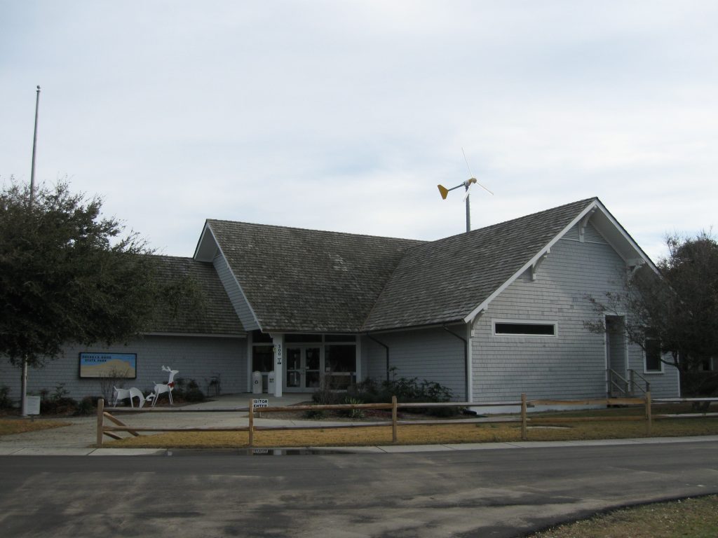
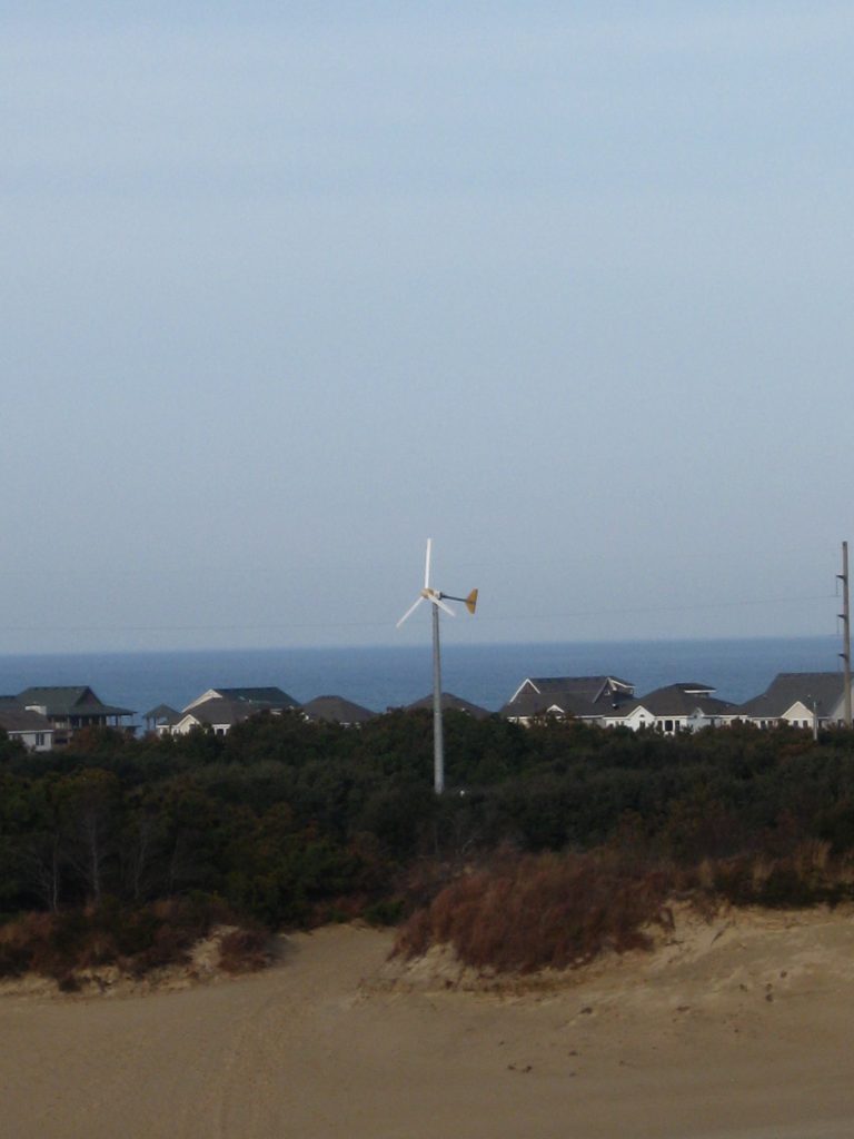
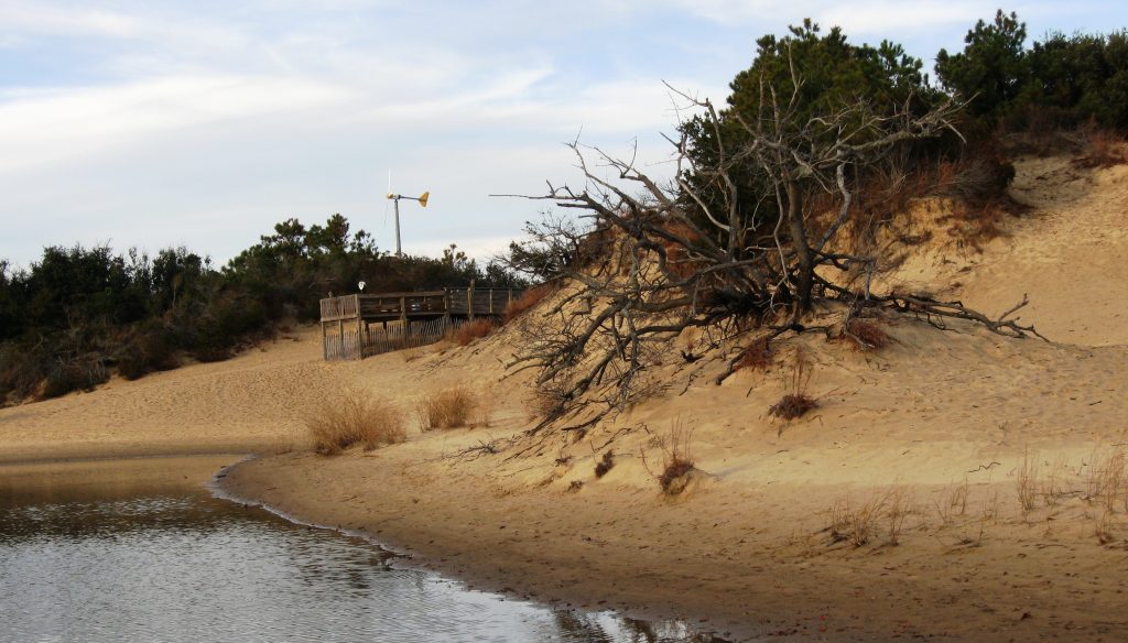
Among the landmarks at Jockey’s Ridge is the 60-foot-tall windmill behind the visitors center, which has powered the visitors center and park offices since 2010. It serves as a guidepost if you are out among the open sands.
Tracks in the Sand Trail
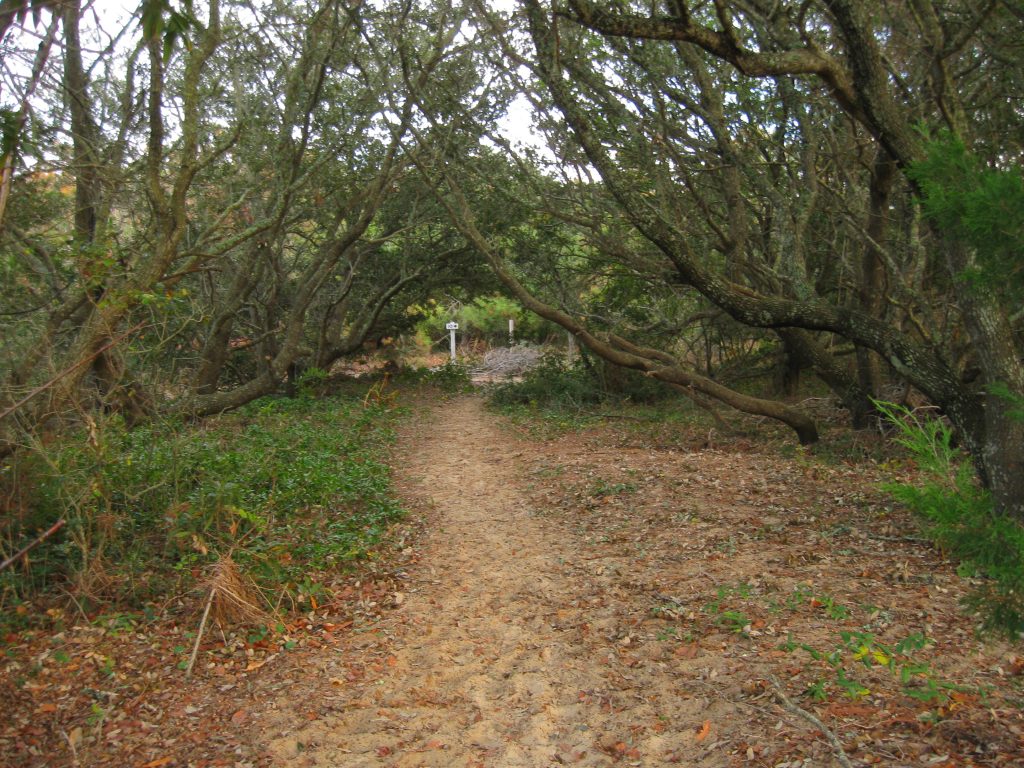
The Tracks in the Sand trail begins next to the visitors center and includes a 360-foot boardwalk and an overlook before getting onto the sands and heading up a hill covered with Northern Bayberry (second photo below) toward the sound. The trail has 14 stations that are explained in a brochure available at the visitors center.
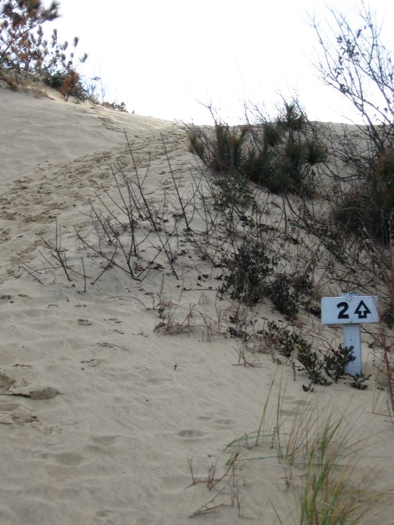
The 1.5-mile trail is moderate given the difficulty of walking in thick sand and that it has a few hills to scale on the way to and back from the sound. As the state parks’ page for hiking at Jockey’s Ridge notes, the sands will be hot during the summer so hikers should wear shoes – and carry water.
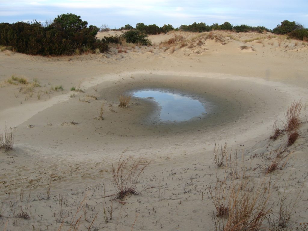
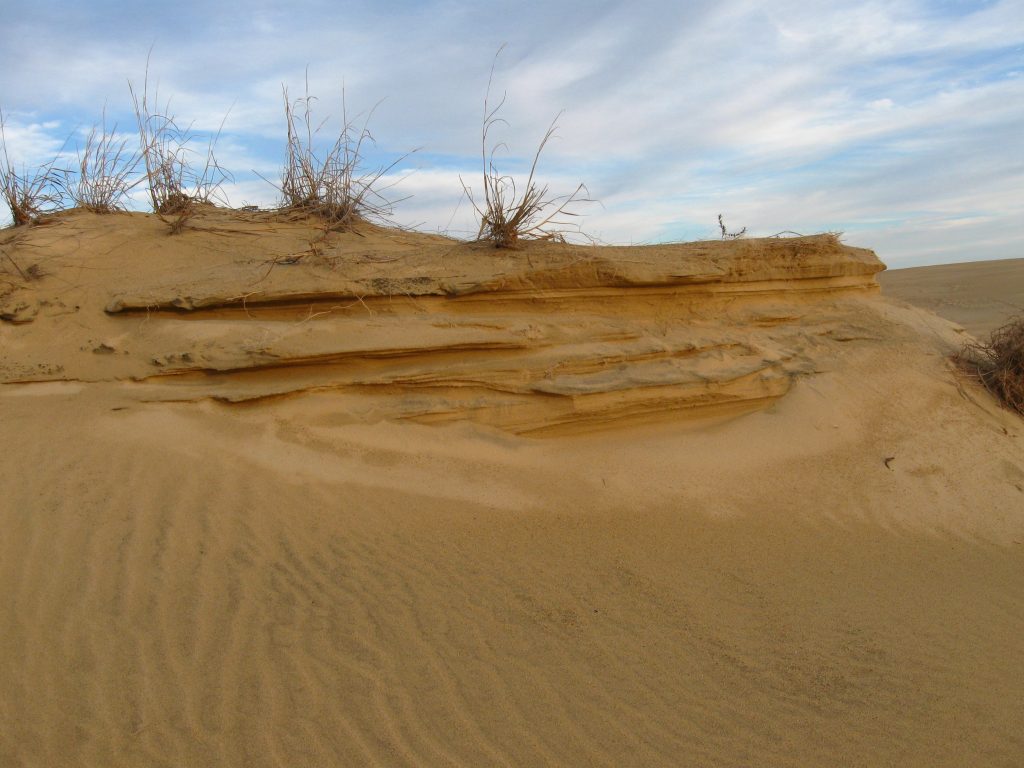
Along the trail you may find depressions that create temporary ponds, which attract insects and the amphibians that feed on them, and incidents of wind-sculpted sand. Varied colors among the sand indicate the different amounts of quartz (lighter colored grains), magnetite (dull, dark grains) and biotite (shiny black) in the sand.
The trail leads to the shore of Roanoke Sound, below, where the park and several conservation groups have worked to restore and protect the riparian zone and upper and lower marsh, and then turns through a maritime shrub thicket (second photo below) before looping back through the sands toward the visitors center.
Jockey’s Ridge is near several outdoors sites of interest on the Outer Banks, including the Coastal N.C. Wildlife Refuges Gateway Visitors Center, Alligator River National Wildlife Refuge, the Wright Brothers National Memorial and the Pea Island National Wildlife Refuge.
Jockey’s Ridge State Park is at Nags Head in Dare County at Milepost 12 of the N.C. 158 Bypass (South Croatan Highway).
Return to State Parks.
Visit Our Sister Site
Carolina Music Festivals, a calendar and guide to music festivals in North Carolina.