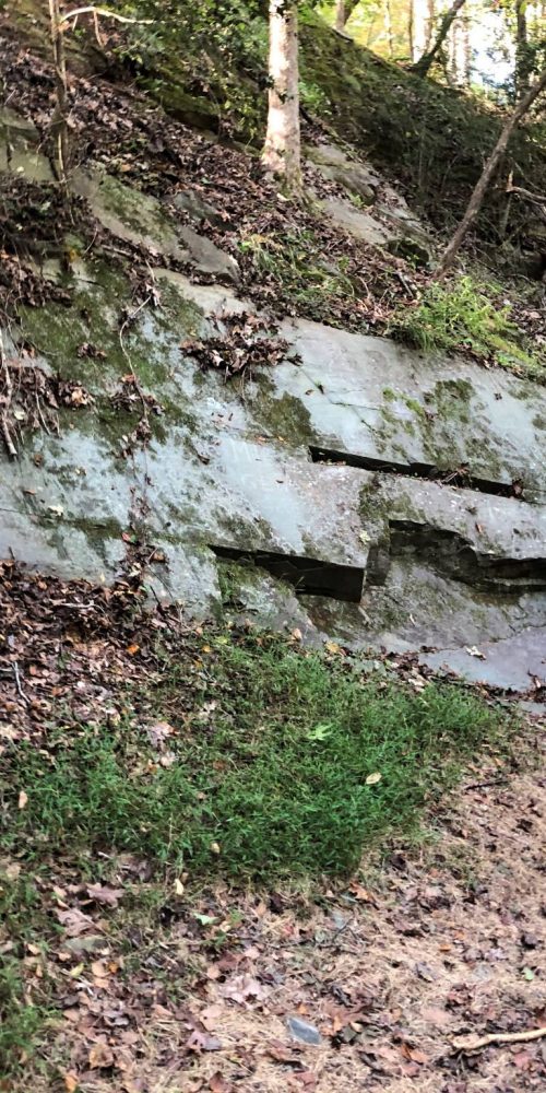
Devil’s Courthouse, Blue Ridge Parkway
Devil's Courthouse offers a short hike to 360-degree views into three neighboring states
Carolina Outdoors Guide – Parks & Forests – Camping – Hiking – Adventures


The Mountains-to-Sea Trail extends across the state for approximately 1,200 miles from Clingmans Dome in the mountains to Jockey’s Ridge on the Outer Banks. More than half of it has been completed; temporary routes travel backroads. The Neuse River paddle trail is an alternate route across the Coastal Plain.
MST directions run west-to-east, then south-to-north on the coast. A blue-blazed trail off of the white-blazed MST typically leads to an overlook, a water source or a designated campsite.
The information below and the map above are from the Friends of the Mountains-to-Sea Trail website (linked above). The Friends site has more thorough descriptions of each section at the links we provide, as well as maps, downloadable trail guides, updates and more.
Mountains
Segment 1A: Great Smoky Mountains. Clingmans Dome (Newfound Gap) to Waterrock Knob. 68.9 miles (50.3 trail, 9.1 unpaved road, 9.5 paved road). Strenuous.
Segment 1B: Tuckaseegee River Valley. Clingmans Dome (Newfound Gap) to Waterrock Knob via the river valley. 49.5 miles (24.3 on roads; 25.2 on trail). Strenuous on trail.
Segment 2: The Balsams. Waterrock Knob to Pisgah Inn. 61 miles (57.4 on trail, 1.9 on gravel roads, and 1.7 on paved roads). Strenuous. Steep climbs and descents.
Segment 3: The High Peaks and Asheville. Pisgah Inn to Black Mountain Campground. 67.7 miles. (trail except for incidental stretches on the Blue Ridge Parkway). Strenuous. Steep climbs and descents.
Segment 4: Gorges, Peaks and Waterfalls. Black Mountain Campground to Beacon Heights. 75.2 miles (73 on trails or abandoned logging roads, fewer than 3 on gravel roads). Strenuous at Linville Gorge, moderate otherwise. Goes through several Blue Ridge Parkway parks; views of Grandfather Mountain, Table Rock, Hawksbill, etc.
Segment 5: The High Country. Beacon Heights to Devil’s Garden Overlook. 90.3 miles (8.3 on road or Parkway shoulder; 82 on trail). Easy to moderate. Camping is not allowed on Blue Ridge Parkway land, but there are four designated backcountry campsites in Segment 5 found via blue-blazed side trails.
Piedmont
Segment 6: The Elkin Valley. Devil’s Garden Overlook to Pilot Mountain State Park. 67.5 miles (15.1 on trail, 5.1 on gravel road, 47.3 on paved roads). Easy to very strenuous on western side of Stone Mountain State Park.
Segment 7: The Sauratown Mountains. Pilot Mountain State Park to Hanging Rock State Park. 36 miles (27.7 on trail, 1.9 on gravel roads, 6.4 on paved roads). Moderate to strenuous.
Segment 8: Rivers, Railroads and Lakes. Hanging Rock State Park to Bryan Park (Greensboro). 63.9 miles (19.2 on trail, 1.5 on paved greenway, 43.2 on roads). Easy to moderate.
Segment 9: Revolution and Textiles. Bryan Park to Eno River State Park. 59.9 miles (13.2 on trail; 46.7 on roads). Easy.
Segment 10: Eno River and Falls Lake. Eno River State Park to Falls Lake Dam. 77.4 miles (a few incidental road sections). Easy to moderate at Eno River. Travels full southern shore of Falls Lake.
Coastal Plain and Outer Banks
Segments 11A – 16A: The Neuse River Paddle Route. Falls Lake Dam to the Neusiok Trail (Croatan National Forest). 216 miles of river. Moderate.
Segment 11B: Neuse River Greenways and Let’Lones. Falls Lake Dam to Howell Woods Environmental Learning Center. 68.5 miles (37.4 on greenway or similar paved multi-use path, 31.1 on roads). Easy.
Segment 12B: Agricultural Heartland. Howell Woods Environmental Learning Center to Suggs Mill Pond Game Land. 63.9 miles (all on roads). Easy.
Segment 13B: Carolina Bay Country. Suggs Mill Pond Game Land to Singletary Lake State Park. 38.8 miles (2 on trail, 11.9 on unpaved or forest roads, 24.9 on paved roads). Easy. Carolina Bays at Suggs Mill Pond Game Land, Jones Lake State Park, the town of White Lake and Singletary Lake State Park. Travels northeast shore of White Lake.
Segment 14B: Land of History. Singletary Lake State Park to Holly Shelter Game Land. 70.6 miles (all on roads). Easy.
Segment 15B: The Onslow Bight and Jacksonville. Holly Shelter Game Land to Stella. 89.8 miles (35.5 on trail, forest road, beach or greenway, 54.3 on roads). Easy to moderate.
Segment 16B: The Croatan. Stella to the Neusiok Trail. 46.4 miles (22.2 on paved roads; 24.2 on unpaved roads in Croatan National Forest). Easy.
Segment 17: The Neusiok Trail and Cedar Island. The Neusiok Trail to the Cedar Island Ferry. 69.1 miles (45.6 on paved roads, 4.3 on unpaved roads, 19.2 on trail). Easy to moderate.
Segment 18: The Outer Banks. Cedar Island Ferry (to Ocracoke) to Jockey’s Ridge State Park. 81.5 miles of hiking (66.4 on beach, 8 on trail, 7.1 on roads), plus two ferry rides, one 2-1/2 hours long and one 60 minutes long. Moderate.
Carolina Music Festivals, a calendar and guide to music festivals in North Carolina.
More results...
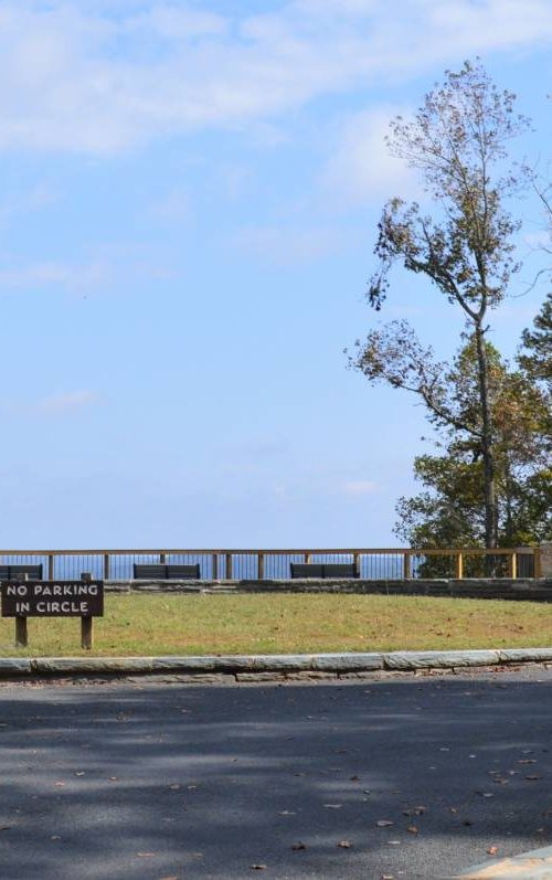
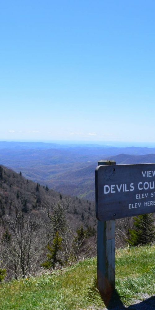 Devil’s Courthouse, Blue Ridge Parkway
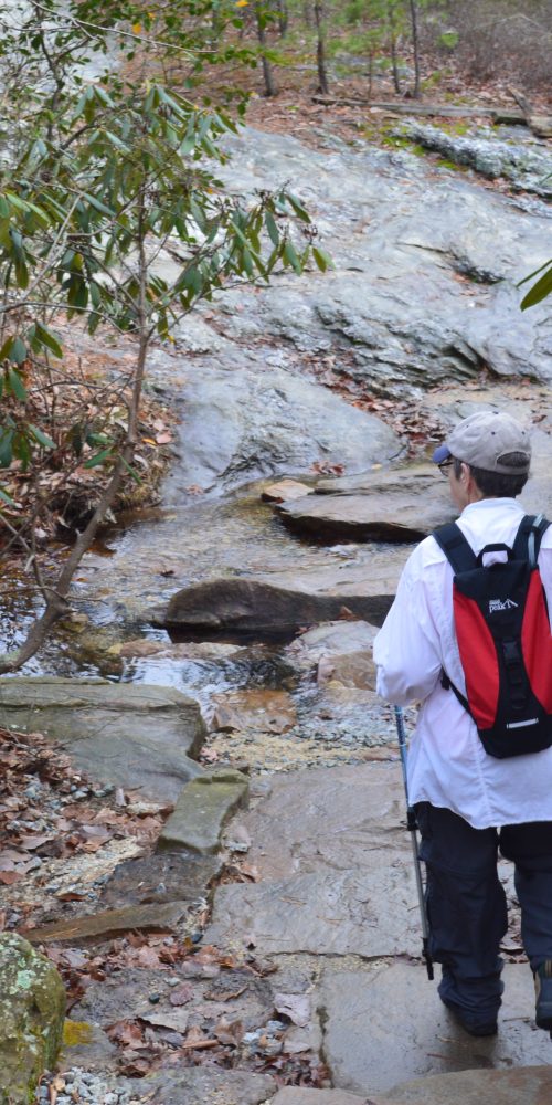
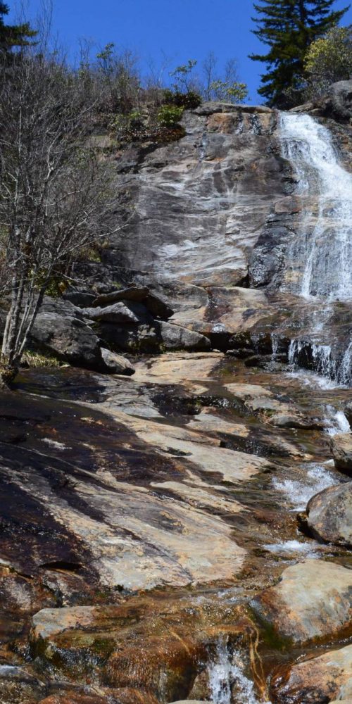 Graveyard Fields & Upper Falls, Blue Ridge Parkway
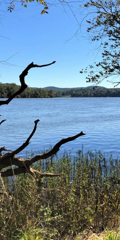
 Morrow Mountain State Park, Albemarle, N.C.
 Three Rivers Trail, Morrow Mountain State Park
 Quarry Trail, Morrow Mountain State Park
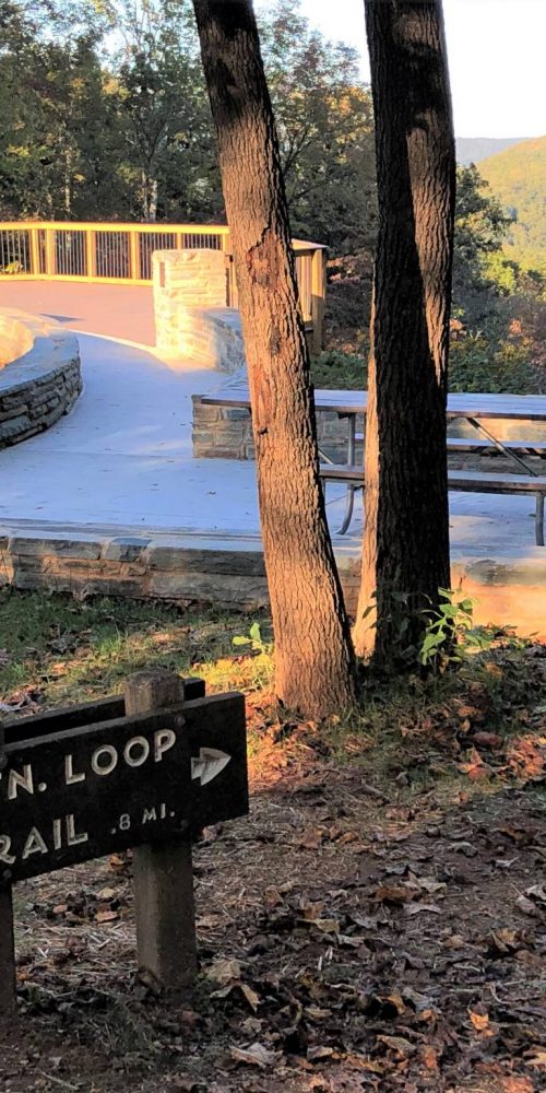
 Morrow Mountain Trail, Morrow Mountain State Park
 N.C. State Parks Leading New Year’s 2020 First Day Hikes
 Land Next to Popular Croatan Forest Nature Trail Protected