Hanging Rock State Park – Home – Parks & Forests – Camping – Hiking – Links – Adventures
Hanging Rock Trail, Hanging Rock State Park
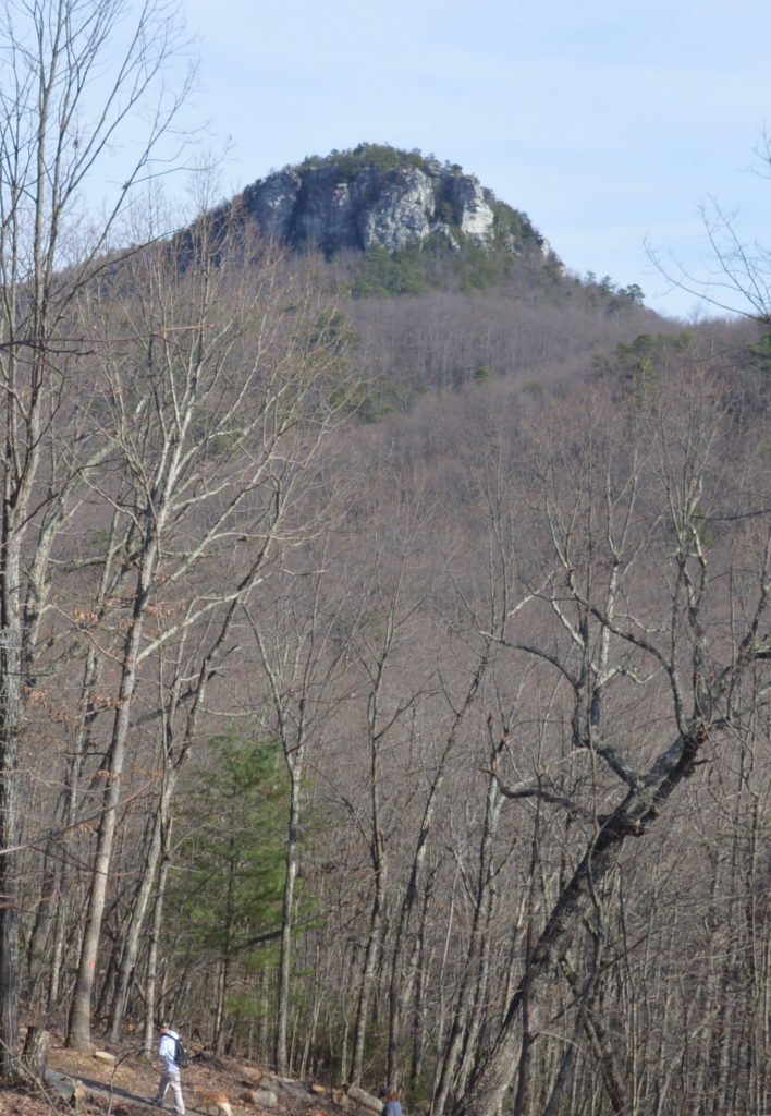
The namesake peak at Hanging Rock State Park is reached via the 1.3-mile (one way) Hanging Rock Trail, which starts at the park’s visitor center parking lot. Hanging Rock has an elevation of 2,159 feet and a prominence (height above surrounding peaks) of 340 feet.
- If you missed it, see our main page about Hanging Rock State Park.
The Hanging Rock Trail is rated moderate for some steep and rocky stretches close to the peak. We saw a diverse crowd of hikers, including children and teens, older folks and dogs of all sizes, when we there on an unseasonably warm day in December 2015.
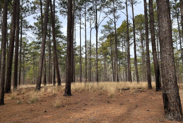
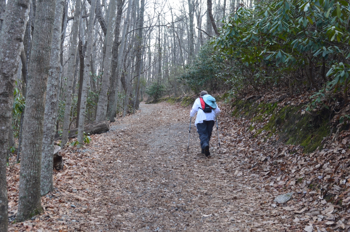
Immediately after descending from the parking lot, the trail continues downward to Cascade Creek and is paved for a ways, and then is wide and smooth as it makes a turn and starts to ascend.
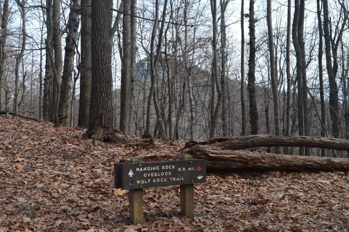
The Wolf Rock Trail splits off a half-mile in as the trail starts to narrow and become more rocky. Hanging Rock is visible through the trees.
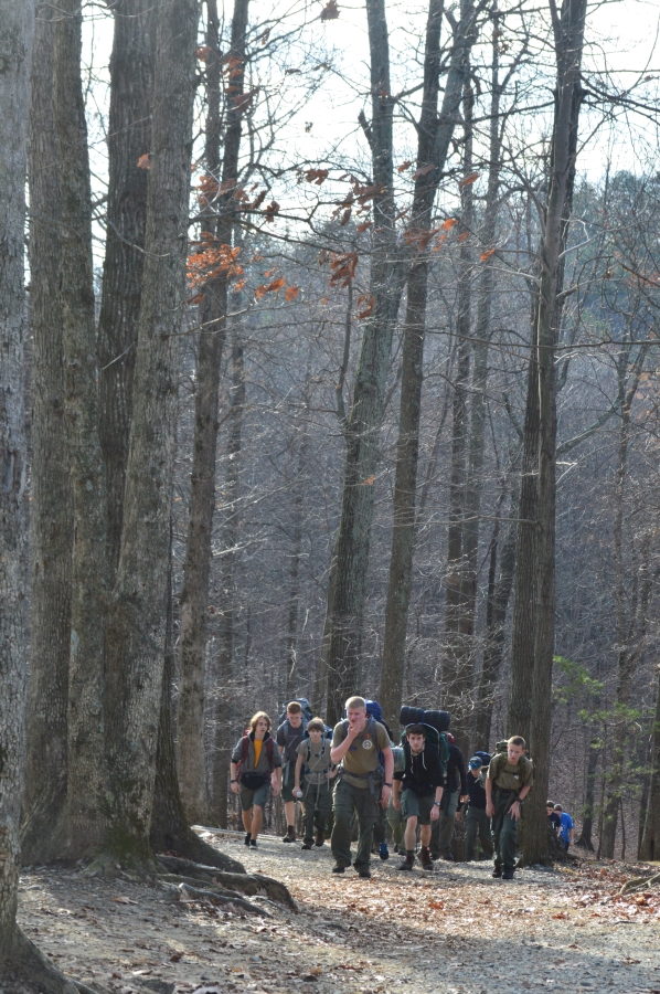
A group of local Boy Scouts on a conditioning hike shared the trail with us.
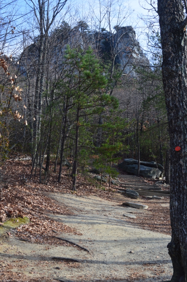
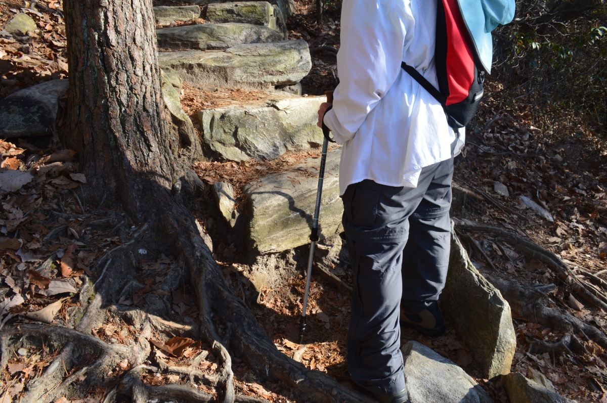
At the foot of the peak, you can see that the climb is about to get steeper.
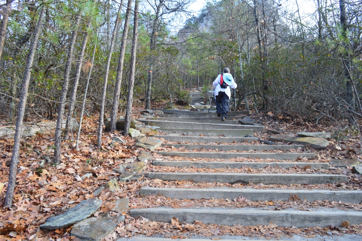
Portions of the trail are stairs …
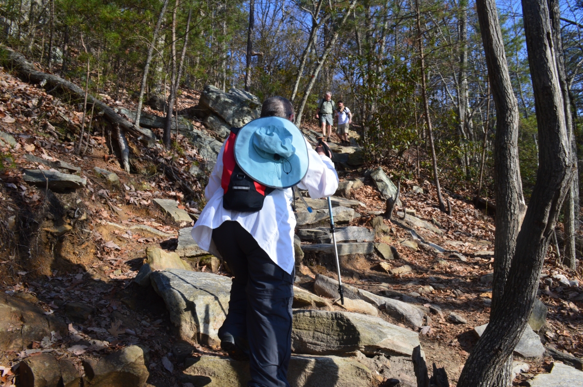
Other areas along the ridge are rocky and steep …
Some of the steps on the Hanging Rock Trail (and other trails in the park) are tall – thigh-high to some people.
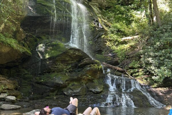
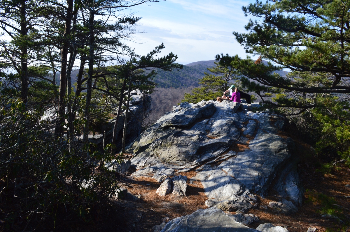
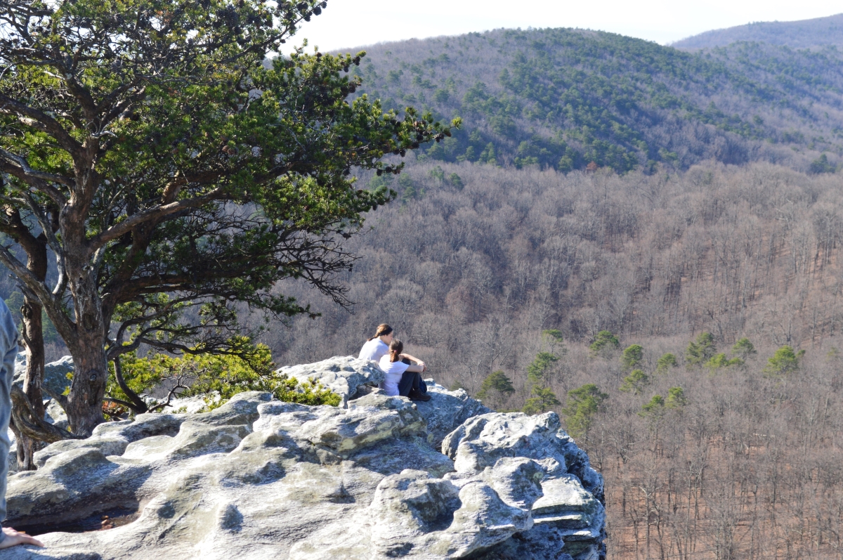
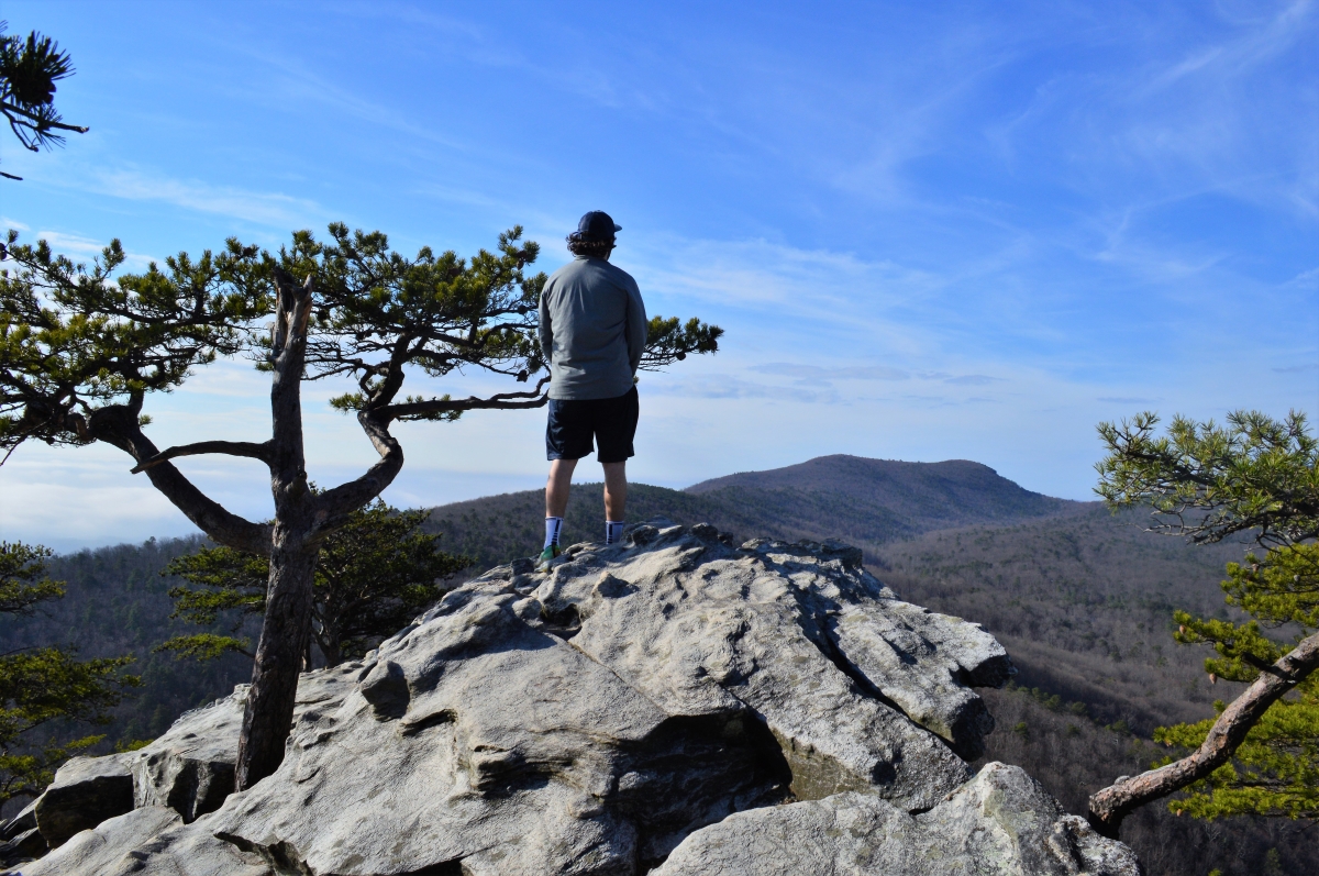
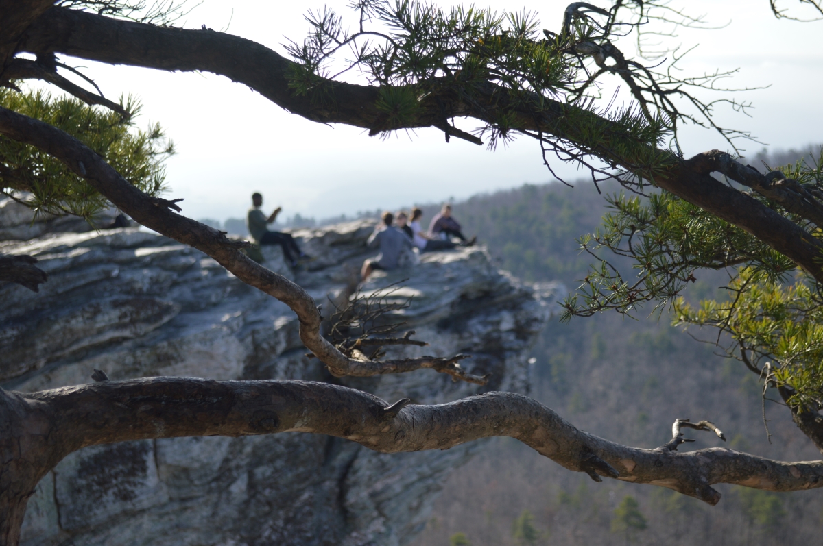
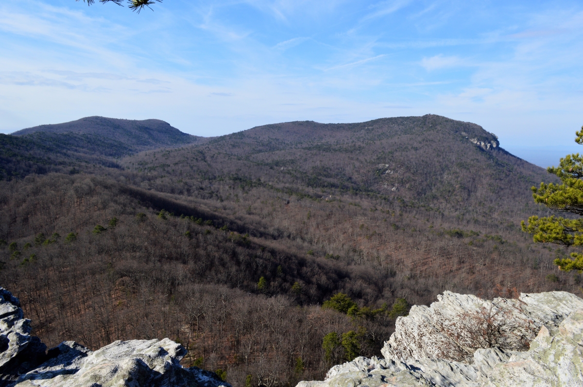
Once you reach the top, there are many opportunities to relax and take in the views.
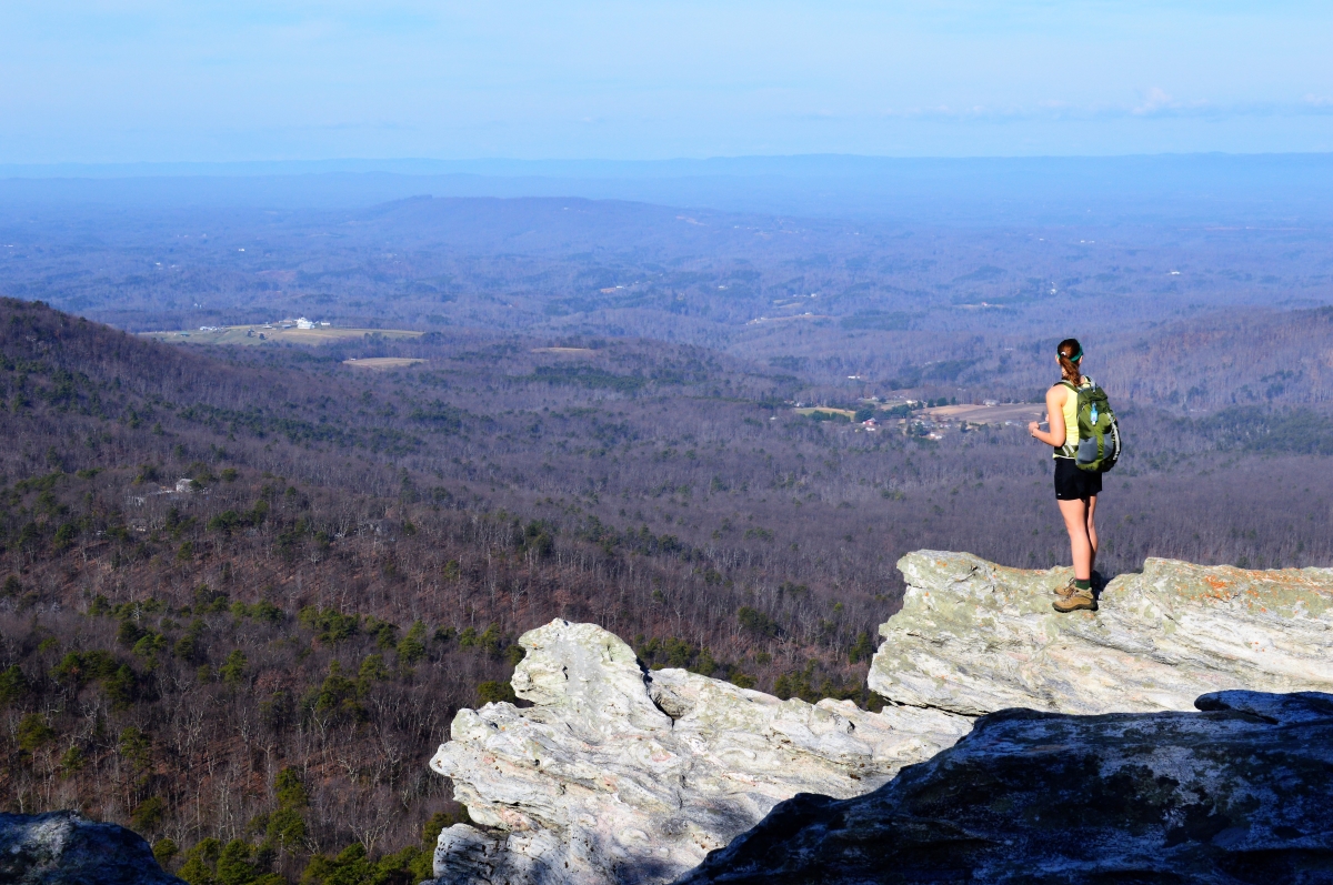

To the right on the ridge across the valley is Moore’s Knob (elev. 2,579 feet, prominence 1,440 feet), the highest peak in the Sauratown Mountains, and the objective of our next hike.
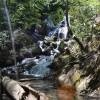
In addition to the Moore’s Knob Trail page, be sure to see our pages about Hanging Rock’s waterfalls:
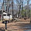
Hanging Rock State Park is in Danbury, north of Winston-Salem in Stokes County off of N.C. 66 and N.C. 8 / 89.
Return to State Parks.
Visit Our Sister Site
Carolina Music Festivals, a calendar and guide to music festivals in North Carolina.